
63 km Distance - approx. 67 Minutes driving time
Destination - Obere Postwiese, 59955 Winterberg, Germany
- Ideal entry for day visitors
- View on Google Maps
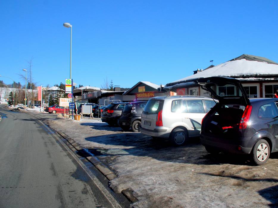
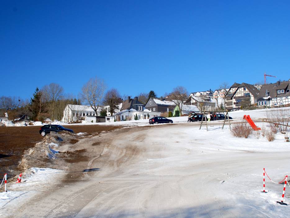
- limited amount available, tarmac car park
- for a fee, € 4,- / per day
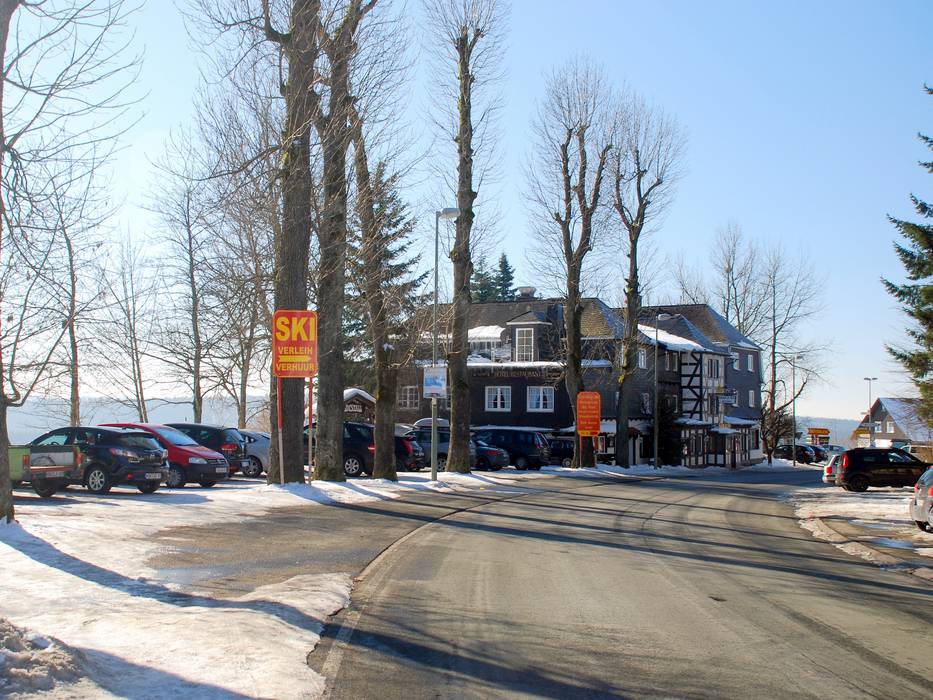
- Free only at the large parking lot, in the village of Neuastenberg €1/hour or €4/day (parking lot Winterberger Str. 16) or €5/day (parking lot Winterberger Str. 2-6, above the Dorint Hotel)
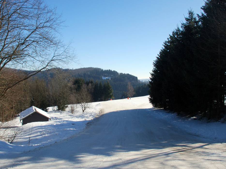
- Main street, well-developed, with significant incline
- Snow chains almost never required by snowfall
- No chance of road closure due to avalanches
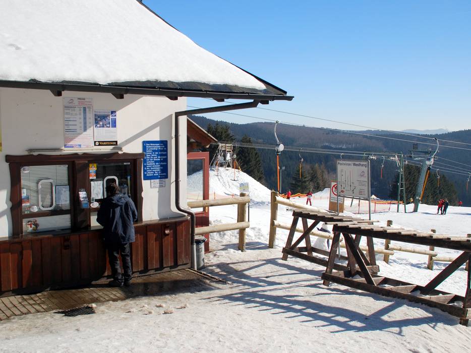
 Access to ski resort
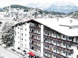
  Town/village close to ski resort
  Traffic Junction
