
52 km Distance - approx. 69 Minutes driving time
Destination - Sén Pelegrin 37, 38035 Moena, Italy
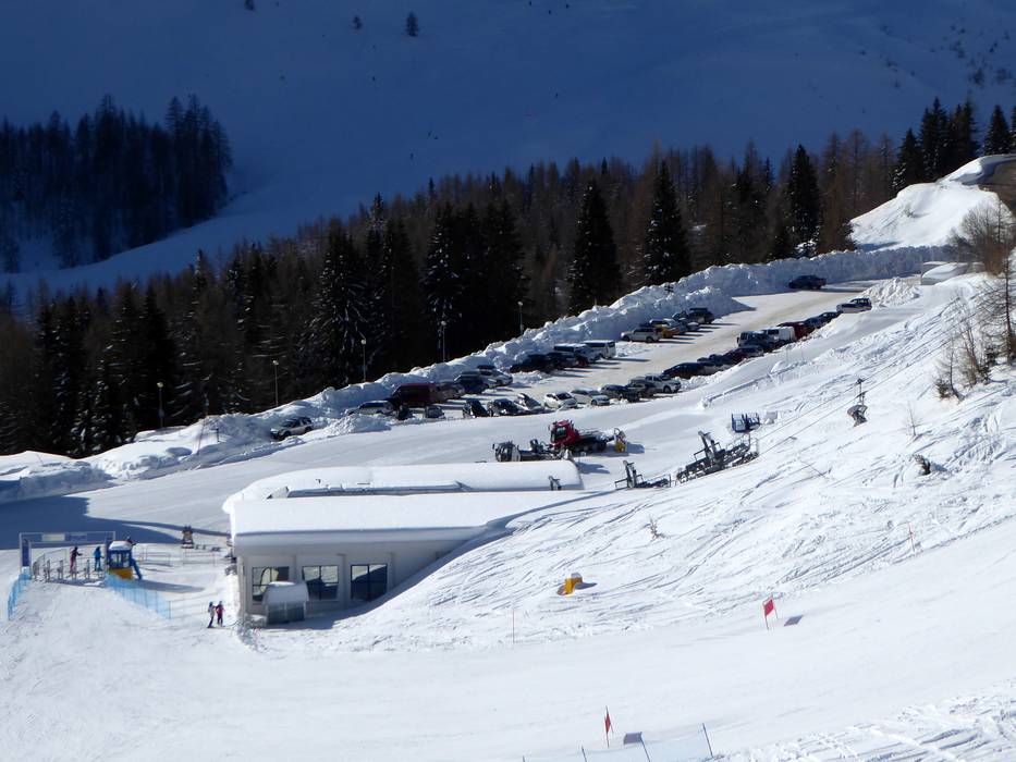
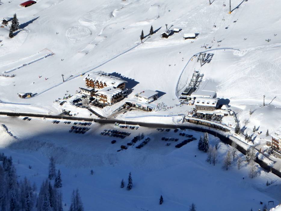
- Ideal entry for day visitors
- View on Google Maps
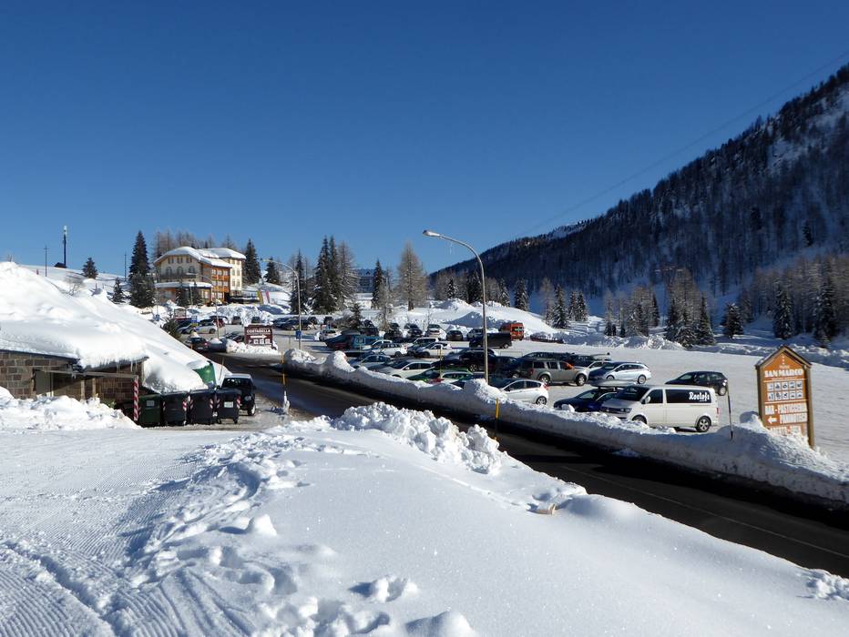
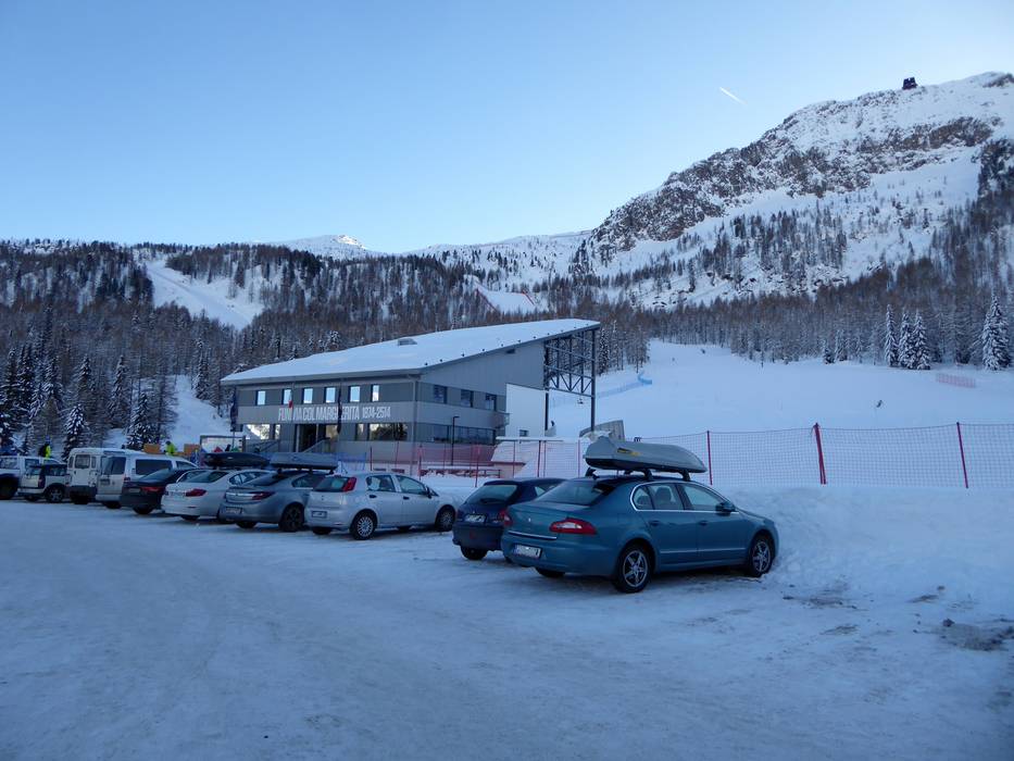
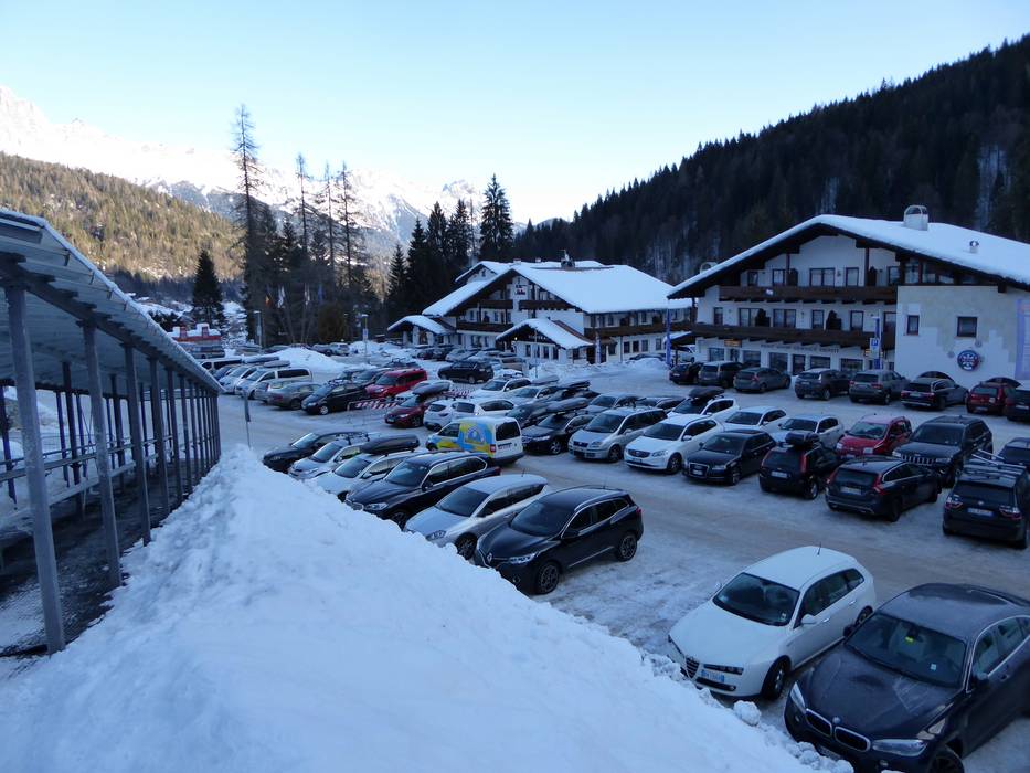
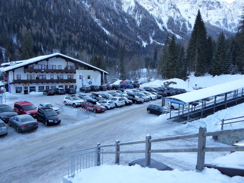
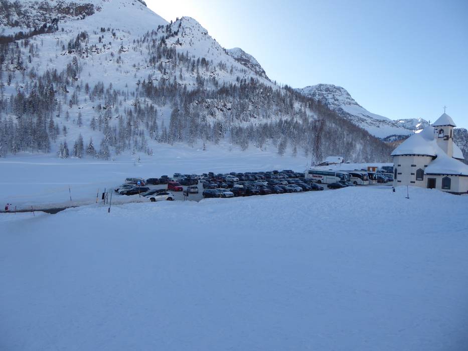
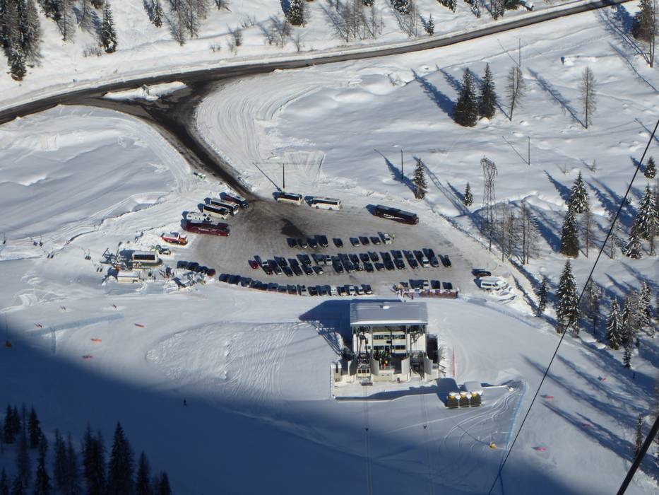
- enough available, gravel car park
- free of charge
- Main street, Side road, Mountain road, with significant incline
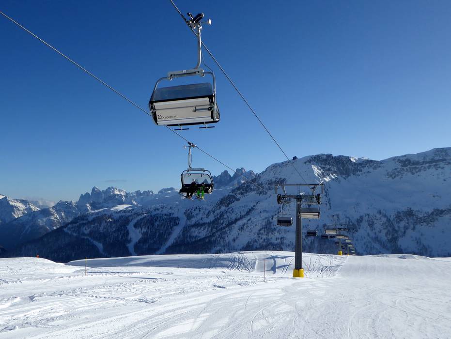
 Access to ski resort
  Town/village close to ski resort
  Traffic Junction
