


24 km Distance - approx. 20 Minutes driving time
Destination - Untertauern 212, 5562 Untertauern, Austria
- Ideal entry for day visitors
- View on Google Maps
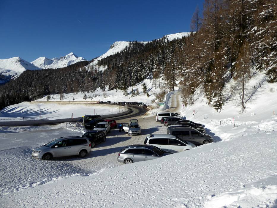
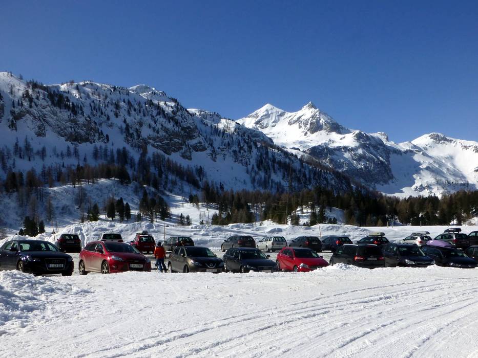
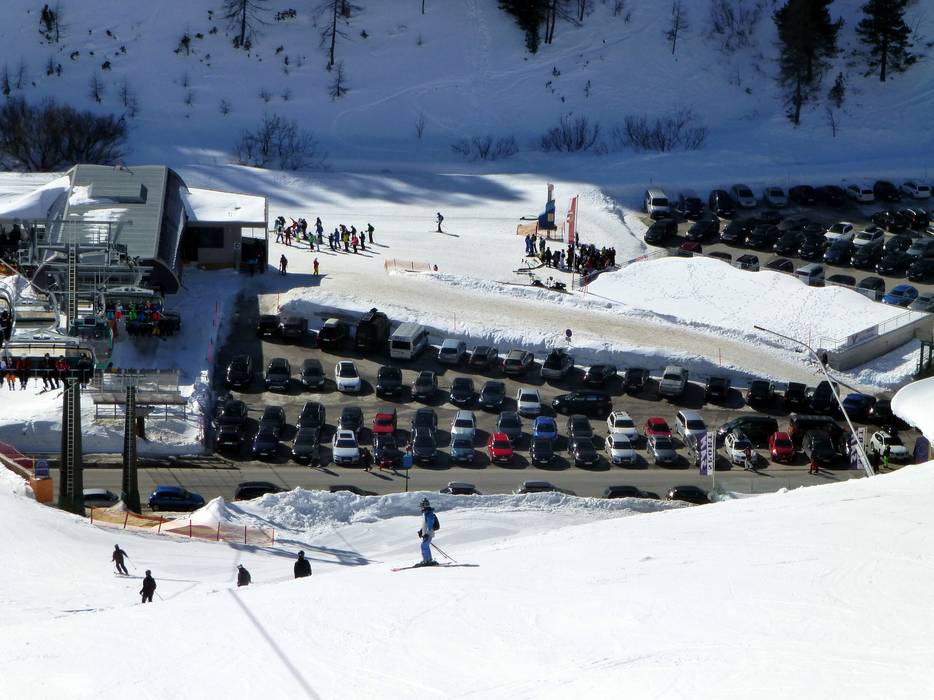
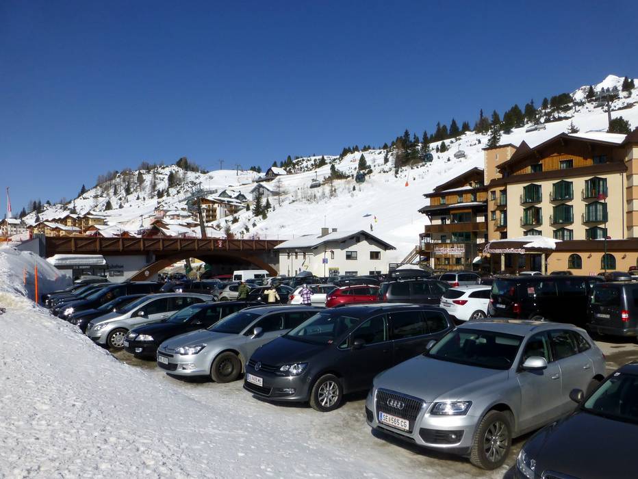
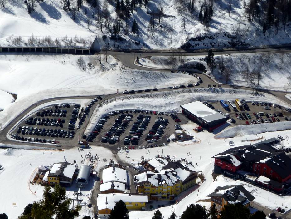
- limited amount available, gravel car park
- free of charge
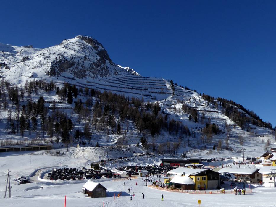
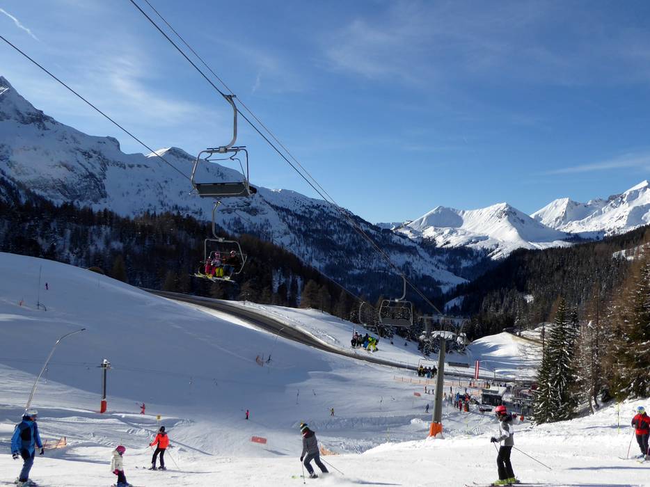
- The parking spaces are located both directly at the Kehrkopfbahn and a little higher up at the Almrauschhütte.
- Highway, Mountain pass road, well-developed, with significant incline
- Snow chains sometimes required by snowfall
- Road closure due to avalanches unlikely
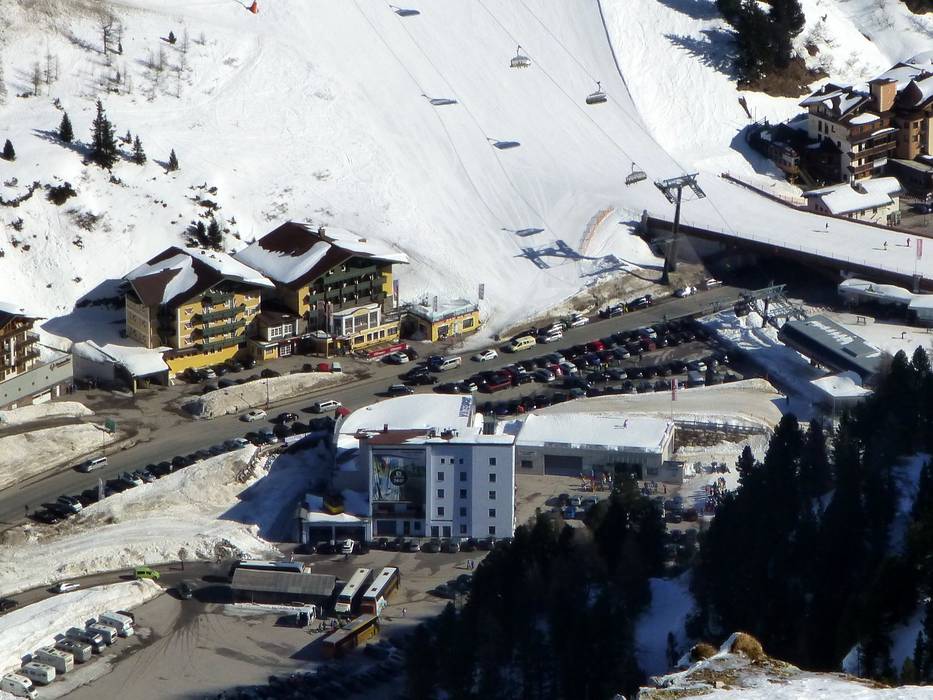
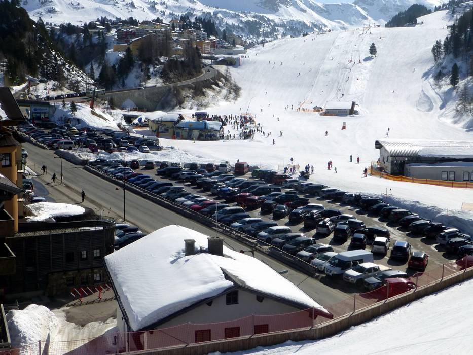
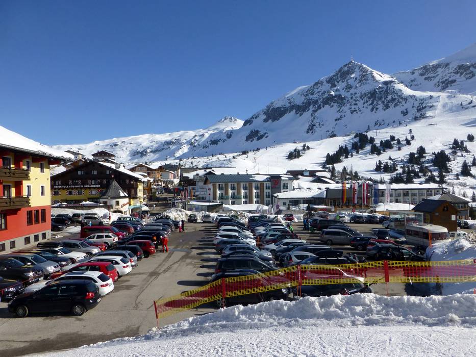


 Access to ski resort
  Town/village close to ski resort
  Traffic Junction