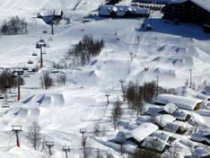
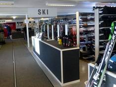
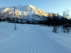
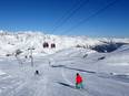
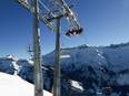
Orientation (Trail map, information boards, sign-postings) and safety in the ski resort Myrkdalen
Trail map and overview maps
The piste map provides an excellent overview of the entire ski area. All lifts and pistes are marked and described by name. The folding map is ideal to take with you, offering not only a large piste map but also additional information about all lifts and runs. On the back, you will also find opening times, prices, and further information about events, etc. All brochures are available in both Norwegian and English.
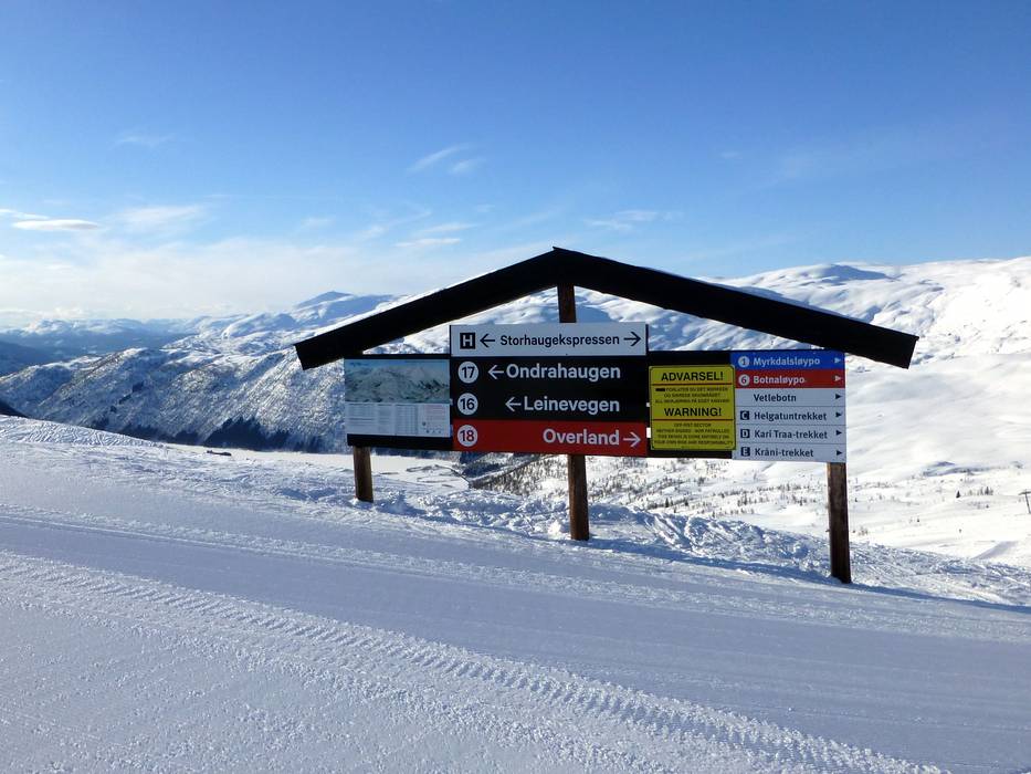
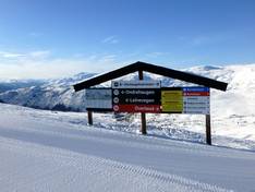
Information boards and sign-postings on the slopes
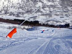
The slopes are well signposted. In the ski area, you will find information and slope maps. The edge markings are also very good; thanks to the corresponding colors, you can always recognize the difficulty level of each slope.