
Evaluated by Skiresort.info, the world's largest test portal for ski resorts.
The evaluation is done as follows
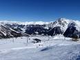
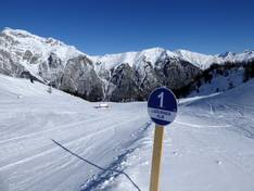
Orientation (Trail map, information boards, sign-postings) and safety in the ski resort Ladurns
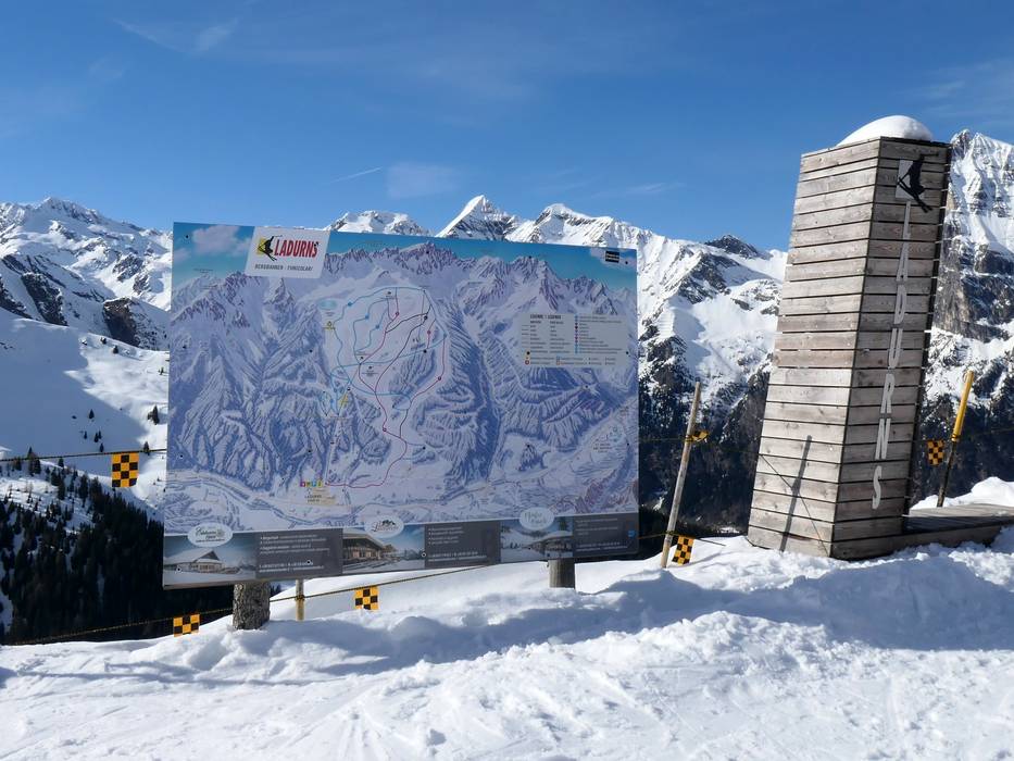
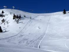
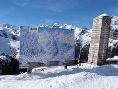
The piste map of Ladurns provides an excellent overview of the slopes and lifts in the Pflerschtal valley. The cross-country trails are marked from Ladurns to the neighboring village of St. Anton, as well as the mountain huts, toboggan runs, and hiking trails. Some altitude information is also included.
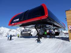
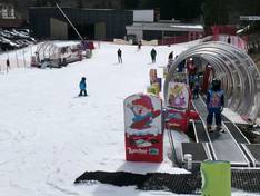
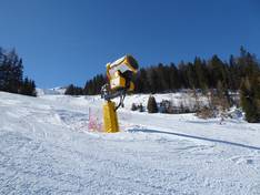
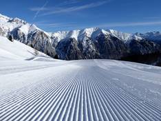
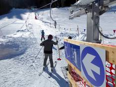
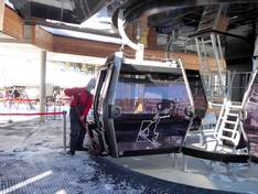
Large piste maps are displayed at the mountain and valley stations. At the valley station, you will find digital information about the current operating status. The entrances to the lifts are clearly and visibly signposted. The pistes are color-coded. The signage to the individual lifts and to the valley station is good. Orientation is very easy due to the manageable size of the ski area.


Feedback for the Skiresort.info Team? Please use this form