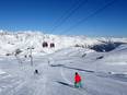
Orientation (Trail map, information boards, sign-postings) and safety in the ski resort Jasná Nízke Tatry – Chopok
Trail map and overview maps
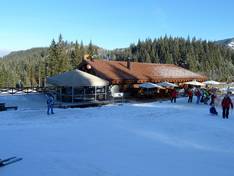
The piste map of Jasná provides an excellent overview of the ski area. All lifts and pistes are described in detail. The piste map is available in Slovak and English. Further information about dining options, ski buses, and events can also be found on the piste map.
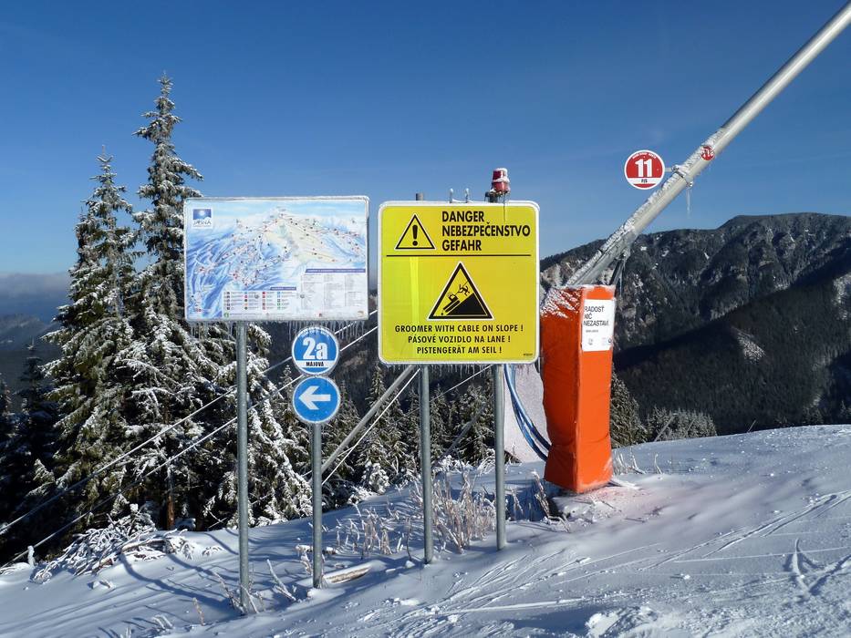
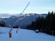
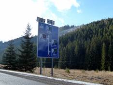
Information boards and sign-postings on the slopes
All slopes are very well signposted. The signage is in several languages, always in Slovak and English. In some cases, you will also find signs in German. At the junctions, there are always signs, usually including slope maps. At the entrances to the lift facilities, information is displayed on flatscreens with up-to-date information and webcam images from the ski area.