Orientation (Trail map, information boards, sign-postings) and safety in the ski resort Idre Himmelfjäll
Trail map and overview maps
The slope map of the Idre Himmelfjäll ski resort is clearly laid out and provides all the information you need. All ski lifts, slopes, and other facilities are indicated. On the reverse side, you will find additional information about cross-country trails, activities, and dining options.
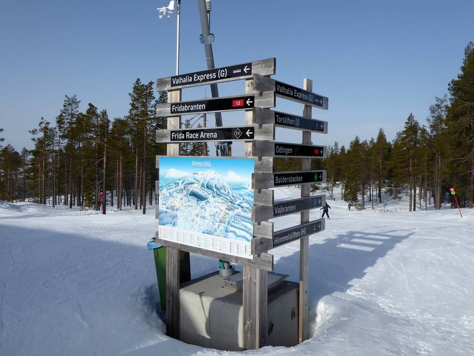
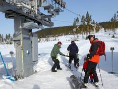
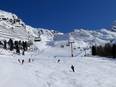
Information boards and sign-postings on the slopes
Well-placed information boards and clearly marked slopes ensure that you can quickly find your way around. Thanks to the compact and logically structured layout of the area, navigation is especially easy. All runs are also marked with numbers. However, current operating information is only available online.