
76 km Distance - approx. 64 Minutes driving time
Destination - Hof 94, 9844 Heiligenblut, Austria
- View on Google Maps
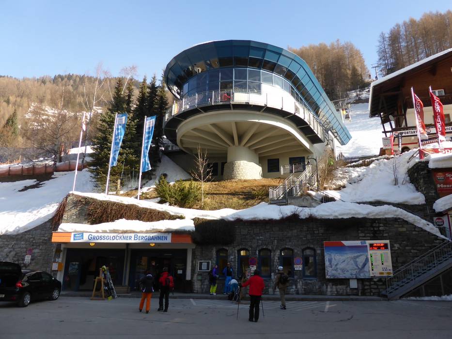
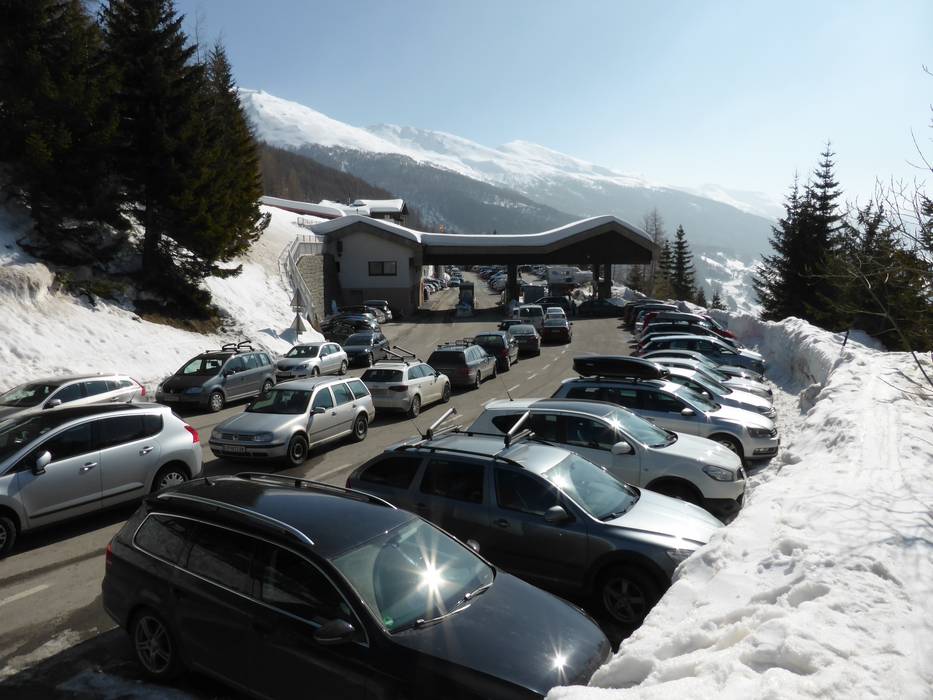
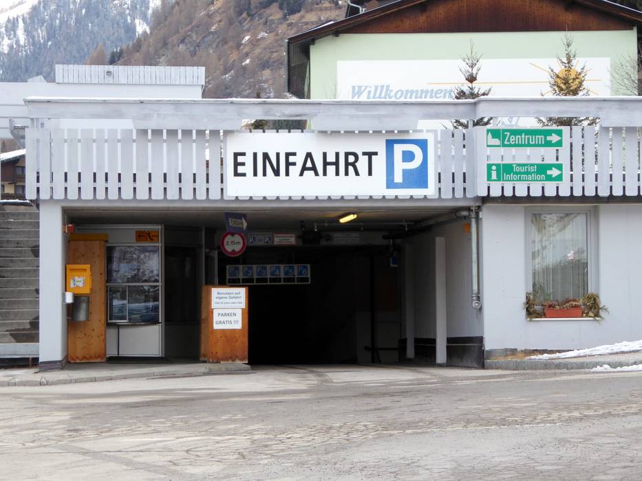
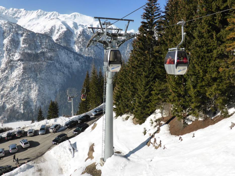
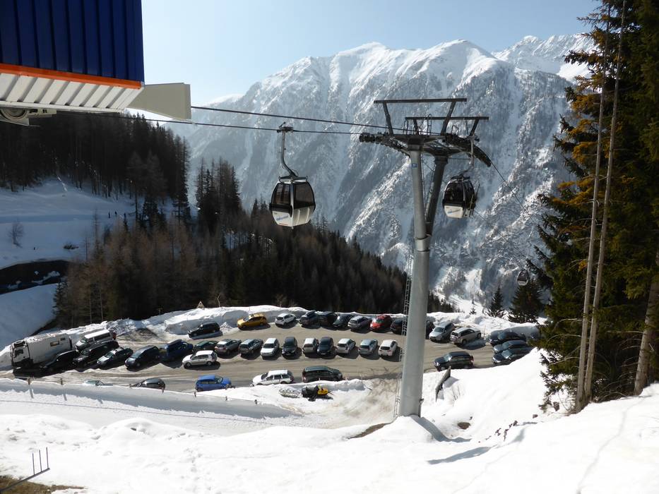
- limited amount available, covered car park, tarmac car park
- free of charge
- There are no parking spaces directly at the valley station. Parking is available in the parking garage about 300 meters away.
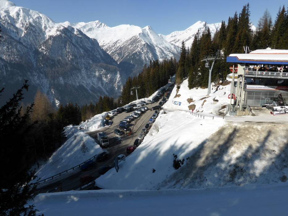
- Main street, Side road, Mountain road, well-developed, with significant incline
- Snow chains sometimes required by snowfall
- Road closure due to avalanches sometimes possible
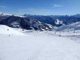
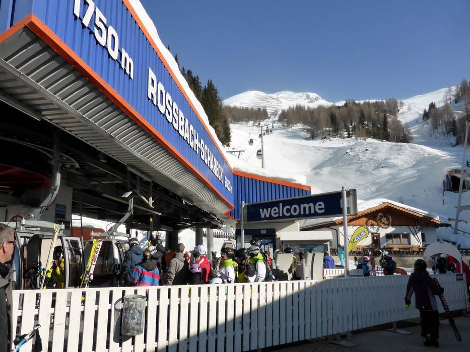
 Access to ski resort
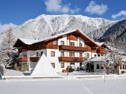
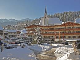
  Town/village close to ski resort
  Traffic Junction