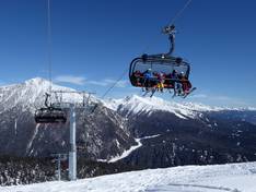
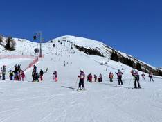
Orientation (Trail map, information boards, sign-postings) and safety in the ski resort Gitschberg Jochtal
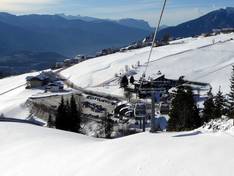
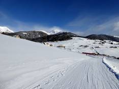
Trail map and overview maps
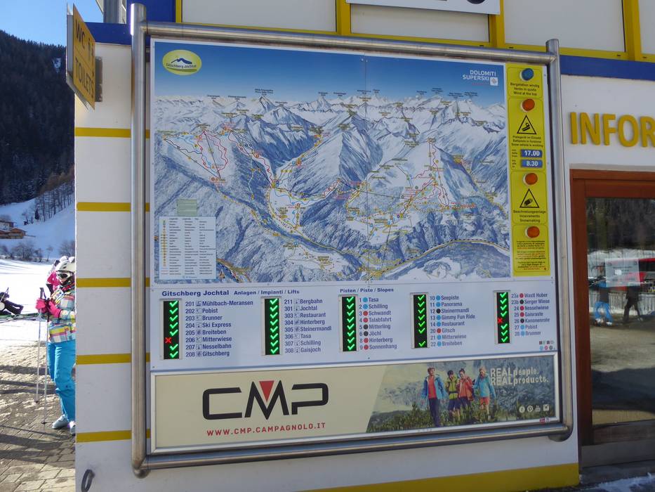
The slope map provides a good overview of the Gitschberg Jochtal ski area. All lifts, slopes, and huts are marked. On the back, you will find the weekly program, prices, and additional activities. Slope maps and ski bus schedules are available at all ski pass offices.
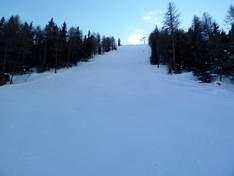
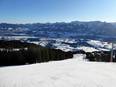
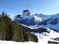
Information boards and sign-postings on the slopes
There are many information boards and signs throughout the ski area. The current operating status of each lift can be found at the valley stations. In some places, the signage could be further improved.
Trail map
Gitschberg Jochtal Season 2025/2026
Gitschberg Jochtal & Plose & Lüsen & Villnöss Season 2025/2026