
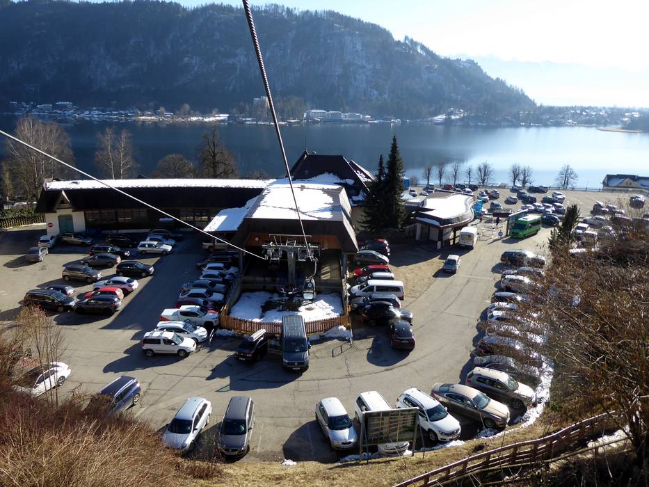
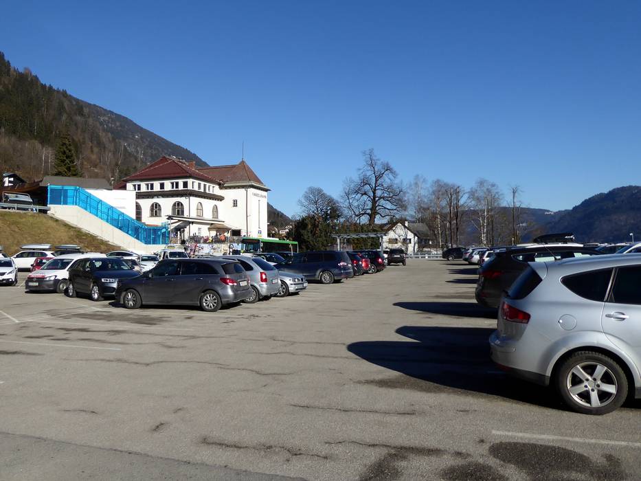
3 km Distance - approx. 3 Minutes driving time
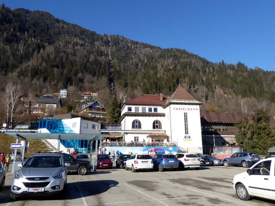
Destination - Kanzelplatz 2, 9520 Annenheim (Treffen am Ossiacher See), Austria
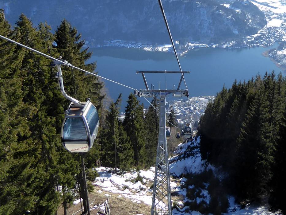
- Ideal entry for day visitors
- View on Google Maps
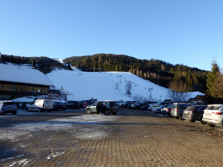
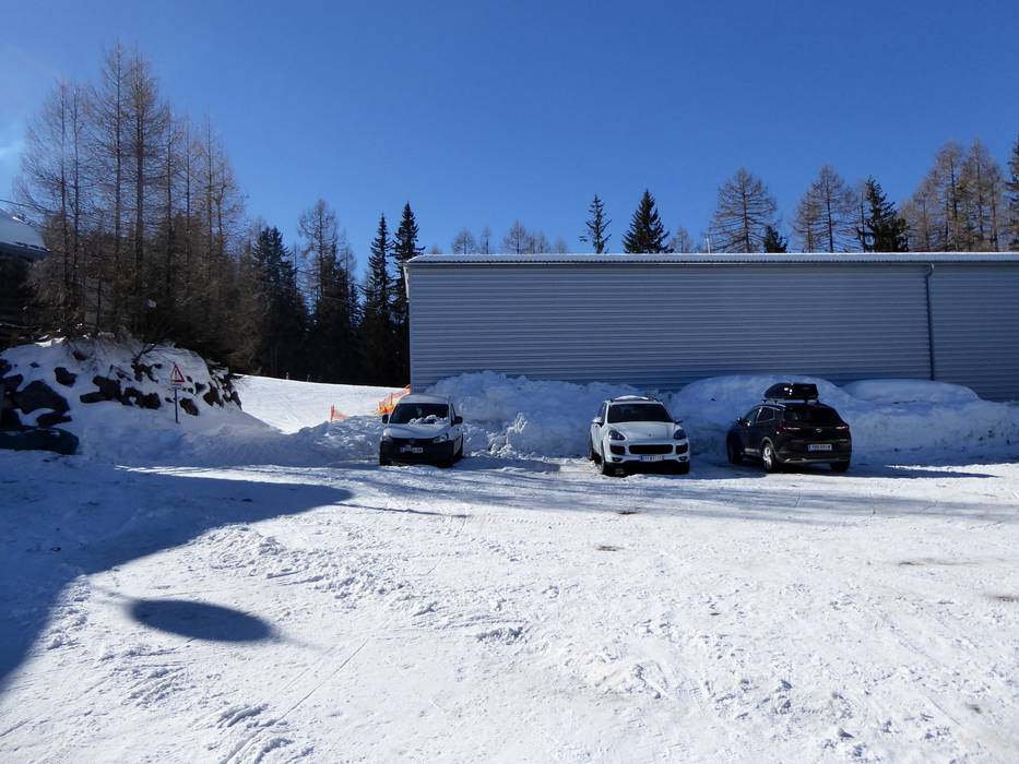
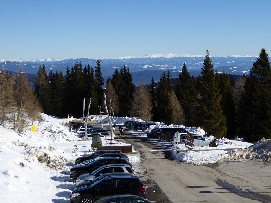
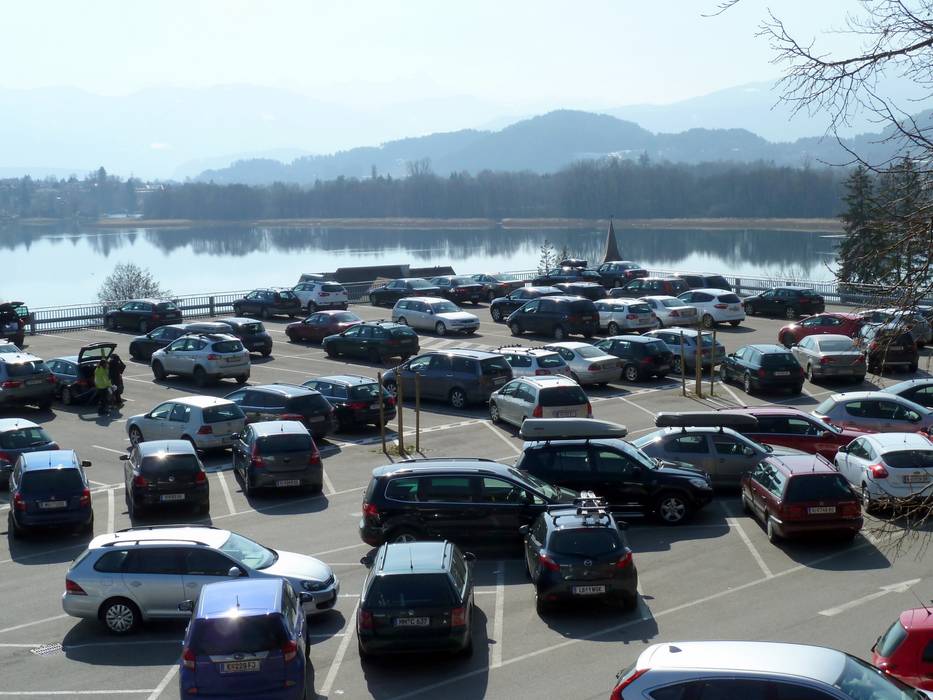
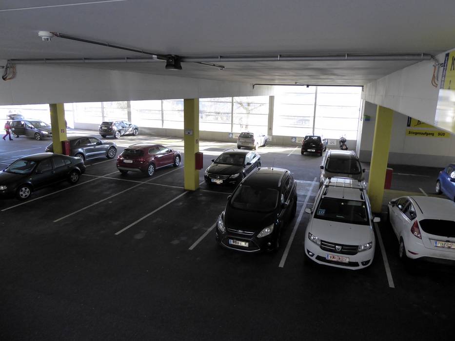
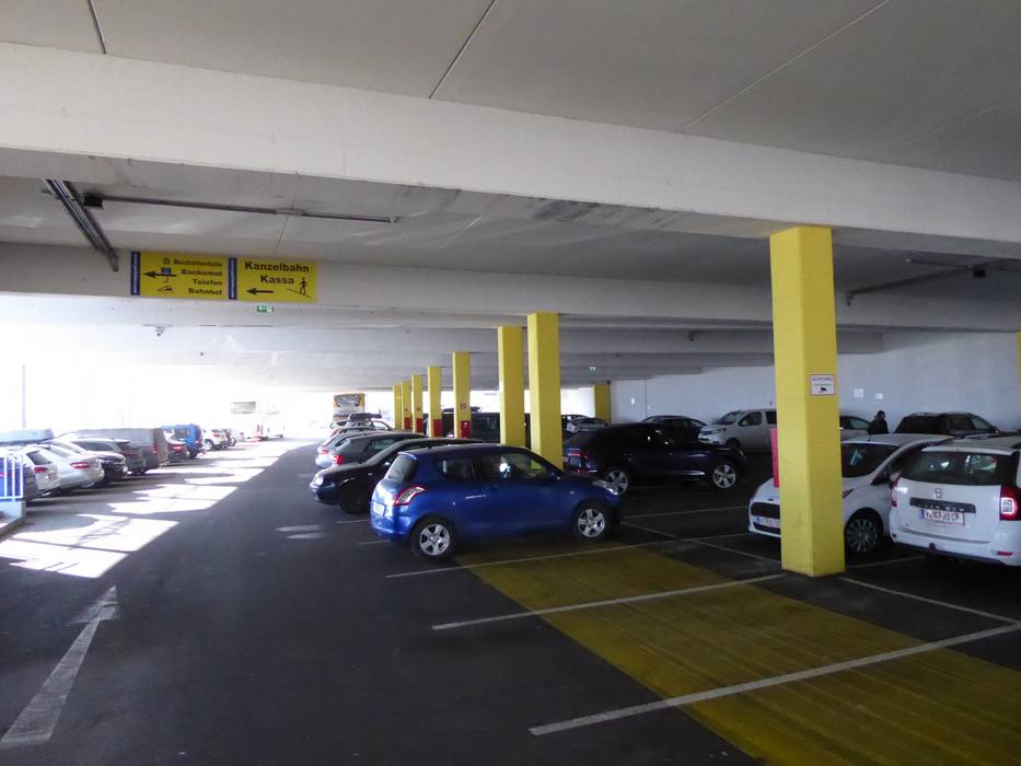
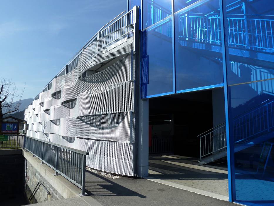
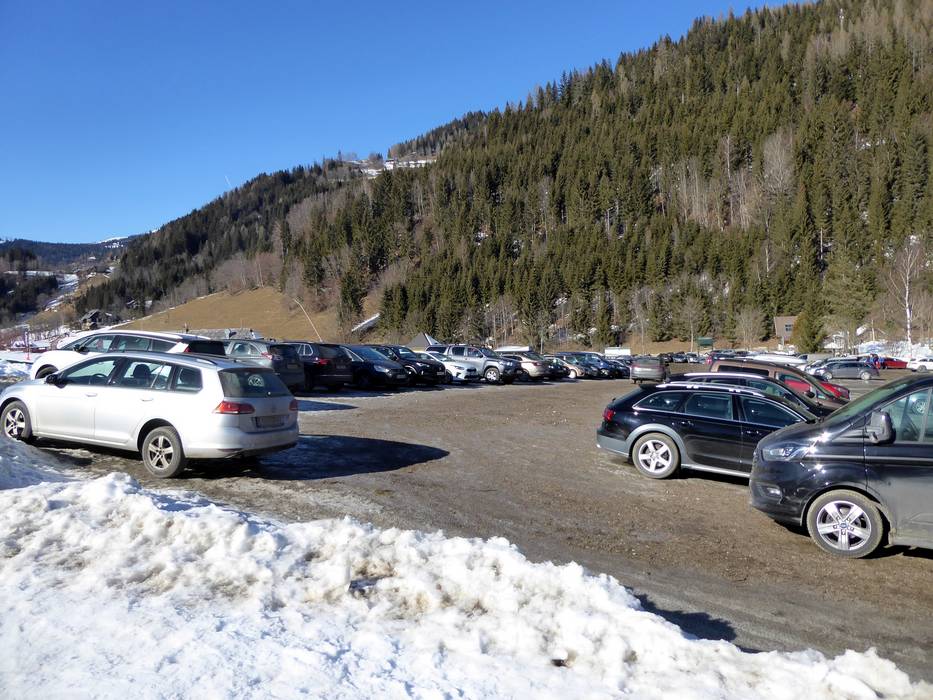
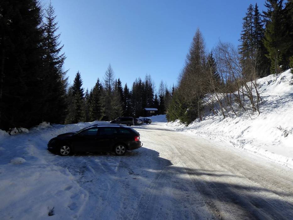
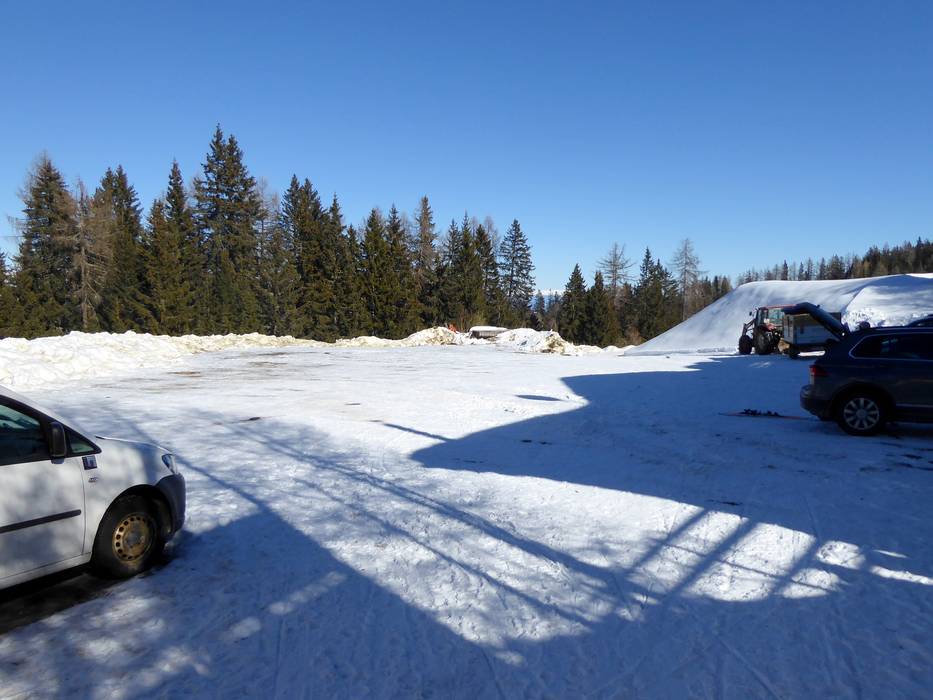
- usually enough available, covered car park, tarmac car park
- free of charge
- If the parking lot is full, free shuttle buses run to the large parking area on the outskirts of town.
- Main street, without significant incline
- Snow chains almost never required by snowfall
- Road closure due to avalanches extremely unlikely
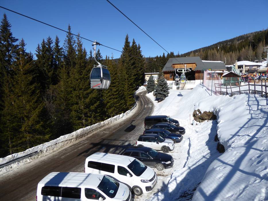
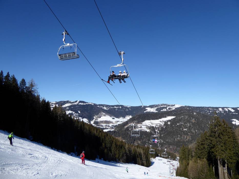
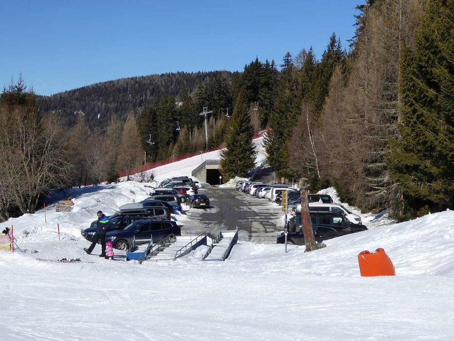
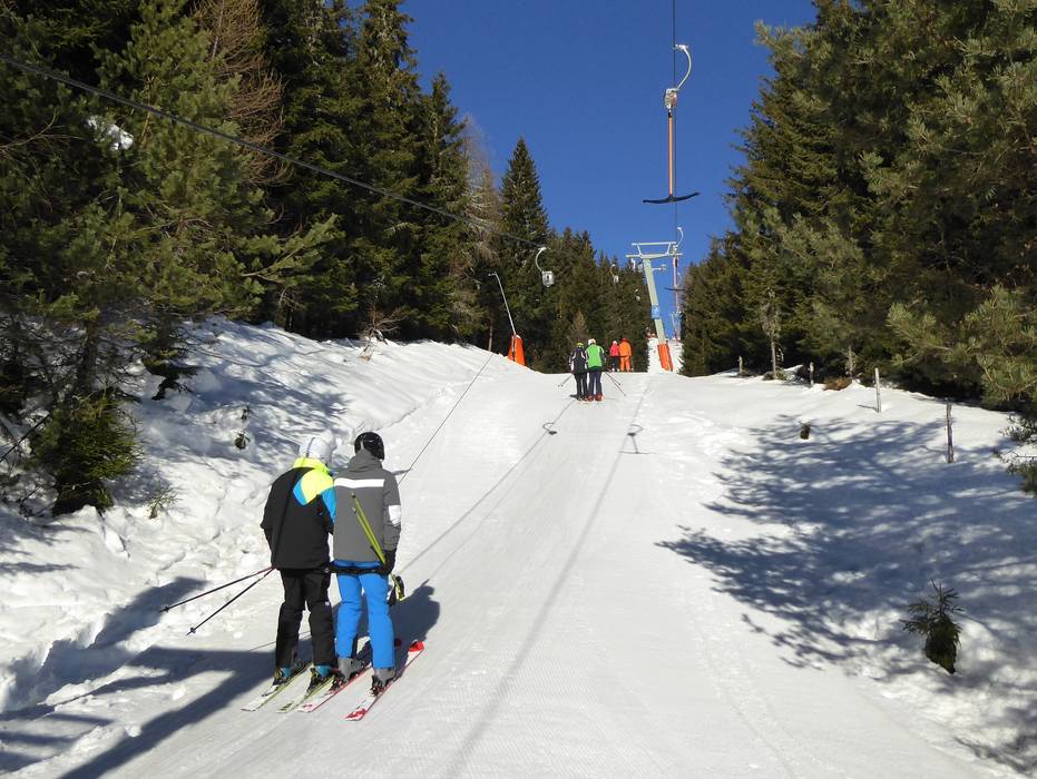
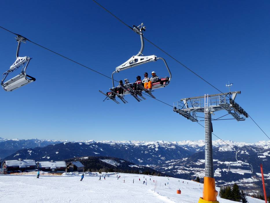
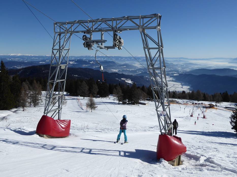
 Access to ski resort
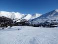
  Town/village close to ski resort
  Traffic Junction
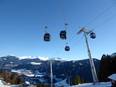