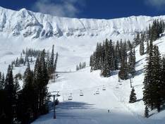
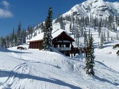
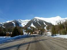
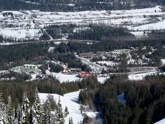
Orientation (Trail map, information boards, sign-postings) and safety in the ski resort Fernie
Trail map and overview maps
The trail map of Fernie provides a very clear overview of the entire ski area with all lifts and trails. All trails are labeled with their names. Individual sections of the ski area, such as Polar Peak, Cedar Bowl, or the Village, are shown separately in detail.
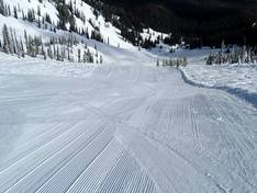
Information boards and sign-postings on the slopes
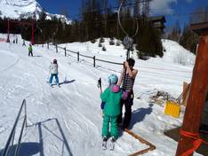
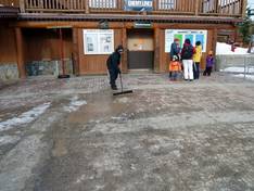
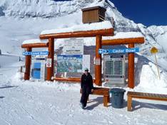
At all key points in the ski area, you will find detailed trail maps and information boards. Friendly staff are available at the base station area and throughout the ski area to answer any questions at any time. Thanks to the division into the 5 Bowls, Polar Peak, and Lower Mountain, it’s easy to find your way around. At all ski lift entry points, you will also find up-to-date operating information and tips for your ski day.