
38 km Distance - approx. 54 Minutes driving time
Destination - Piazza de Bufaure, 12, 38036 Pozza di Fassa, Italy
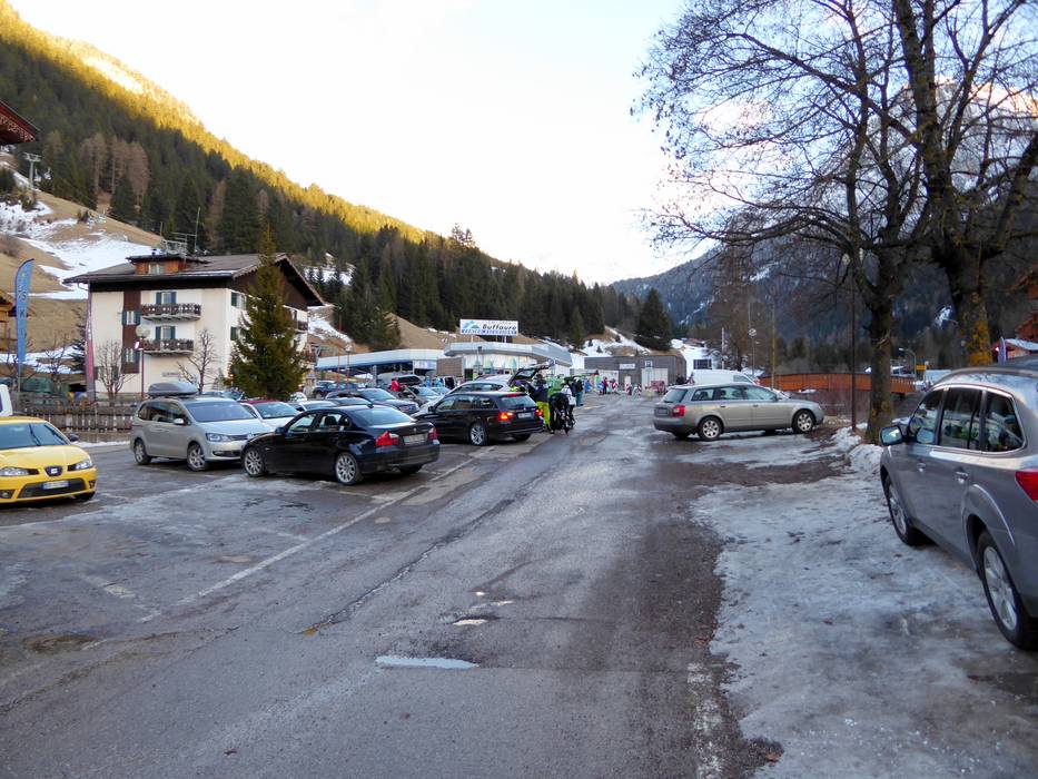
- Ideal entry for day visitors
- View on Google Maps
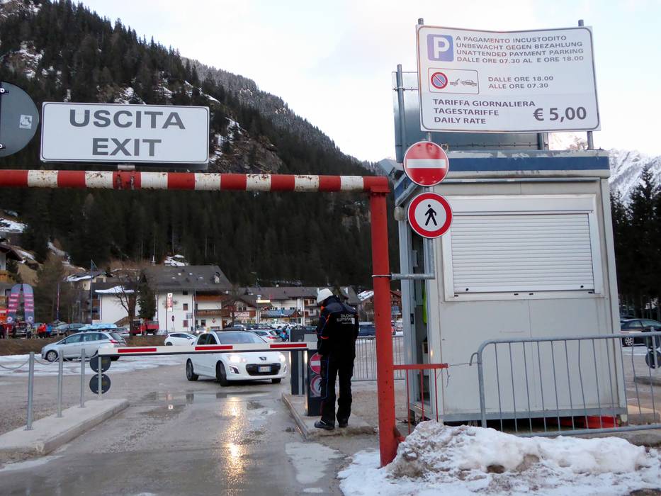
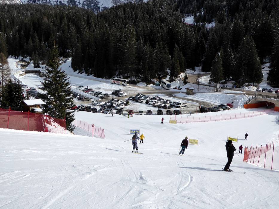
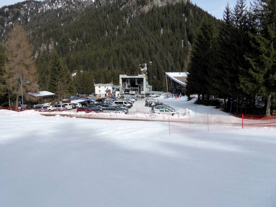
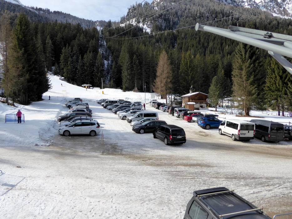
- usually enough available, tarmac car park
- free of charge
- Side road, Mountain road, Mountain pass road, with significant incline
- Snow chains sometimes required by snowfall
- Road closure due to avalanches sometimes possible

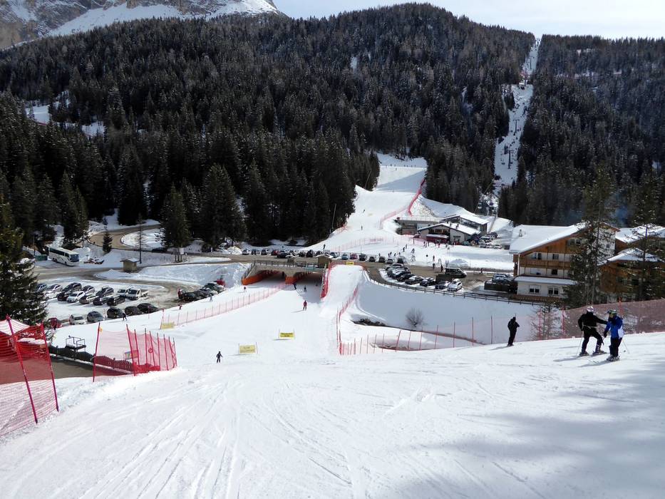
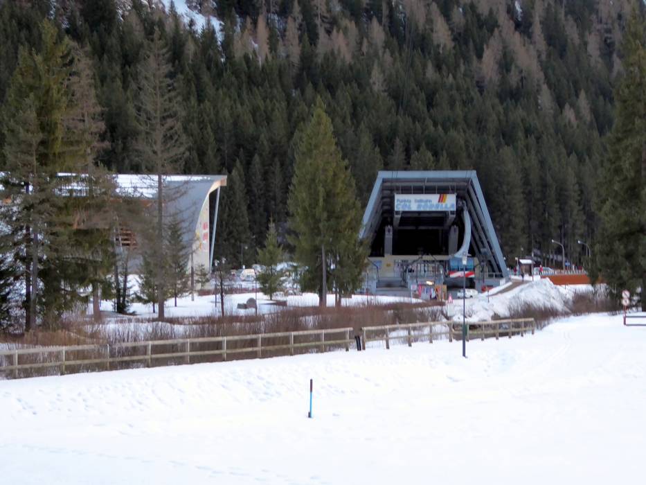
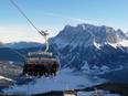
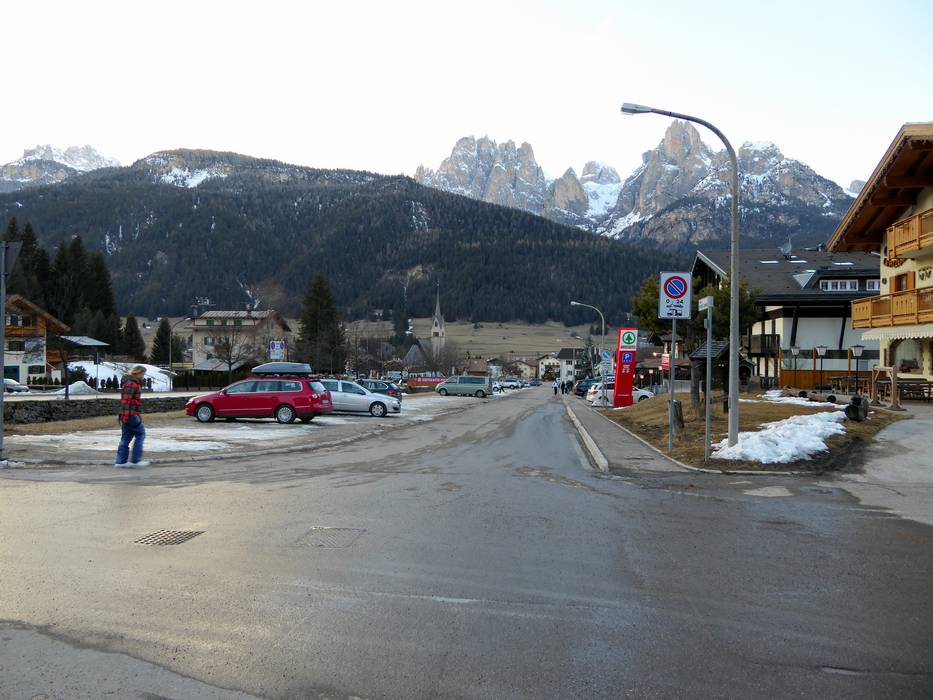
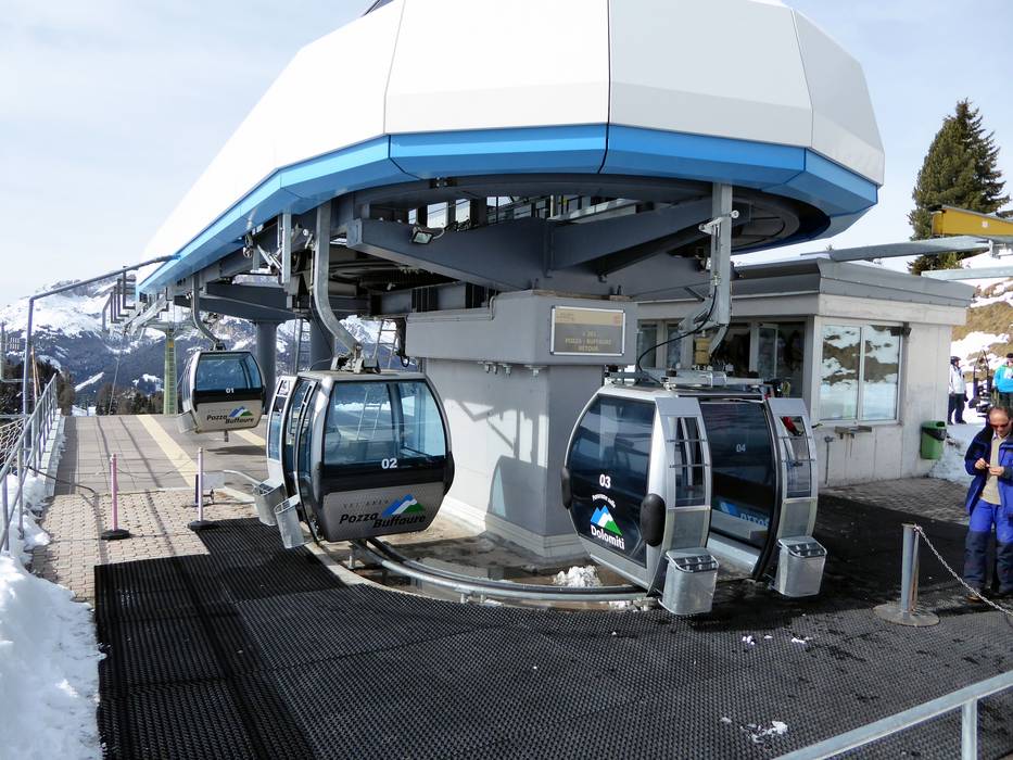
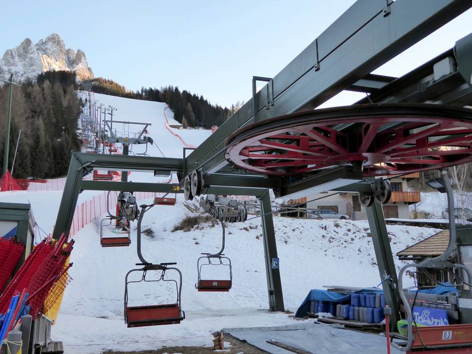
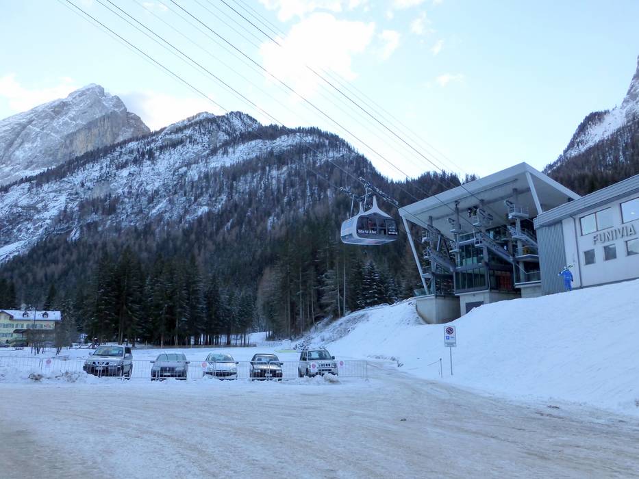
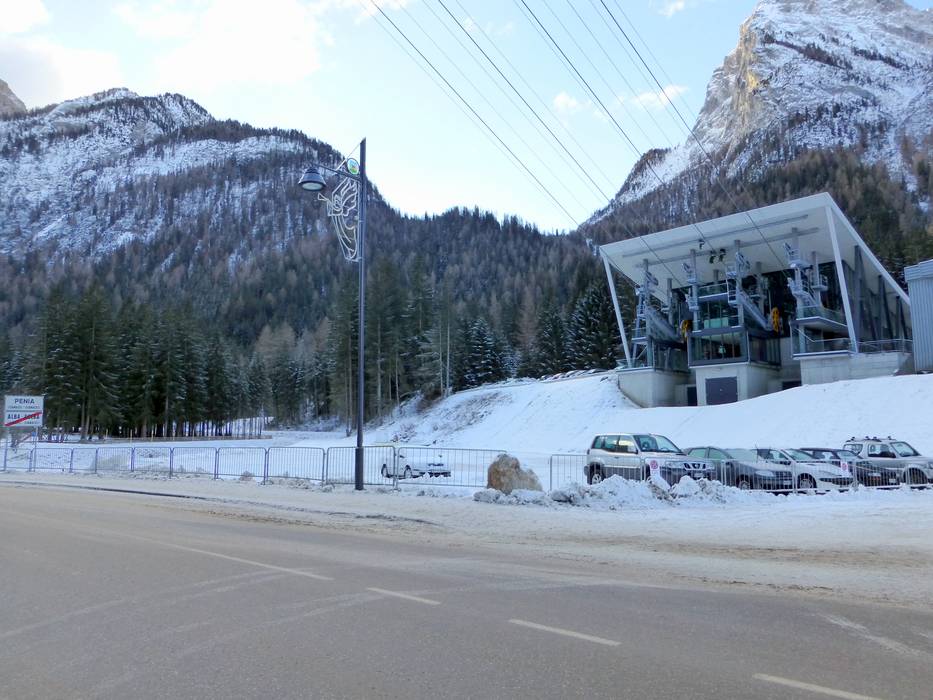
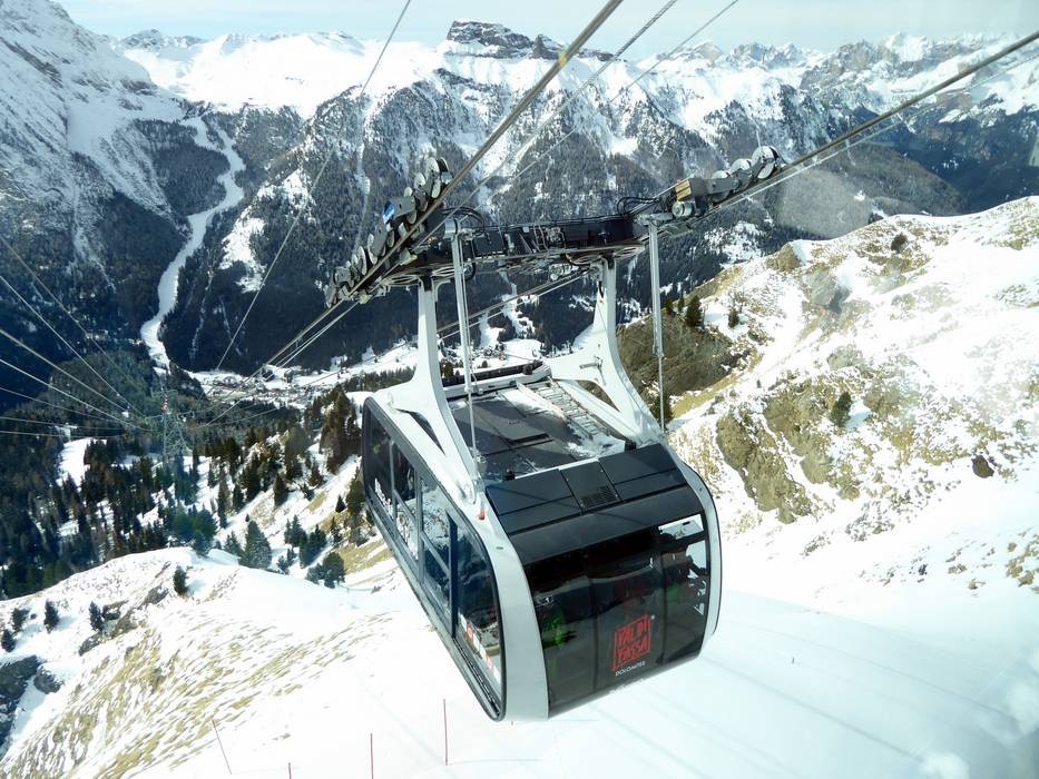
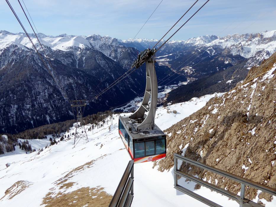
 Access to ski resort
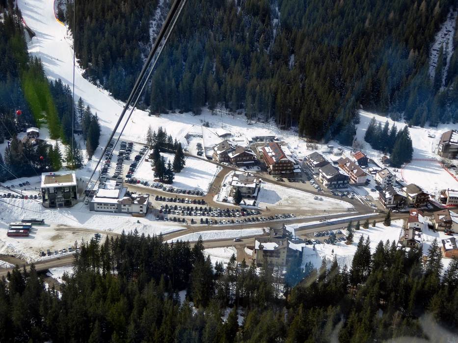
  Town/village close to ski resort
  Traffic Junction
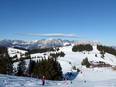