
79 km Distance - approx. 80 Minutes driving time
Destination - Boulevard d'Auron, 06660 Saint-Etienne-de-Tinée, France
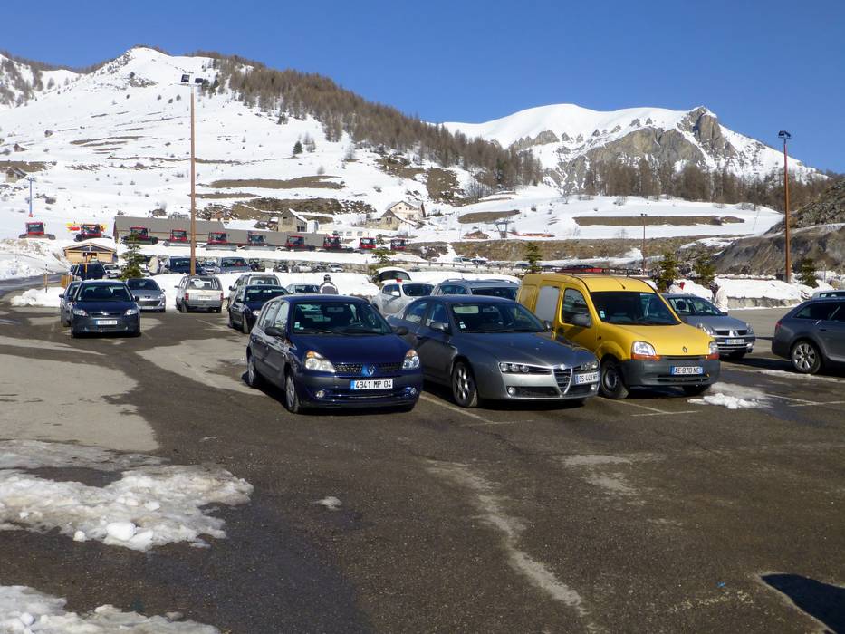
- Ideal entry for day visitors
- View on Google Maps
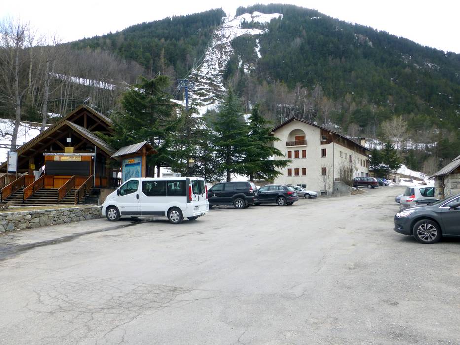
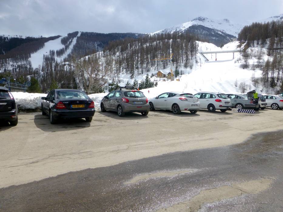
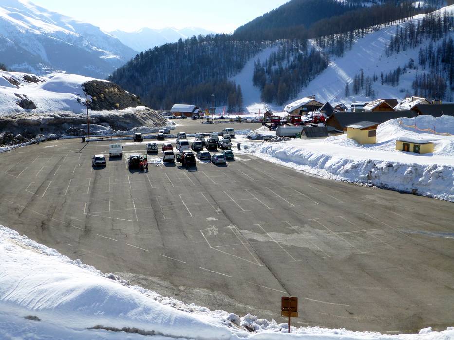
- limited amount available, tarmac car park
- free of charge
- Motorway, Highway, Main street, well-developed, without significant incline
- Snow chains almost never required by snowfall
- Road closure due to avalanches sometimes possible
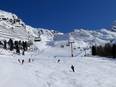
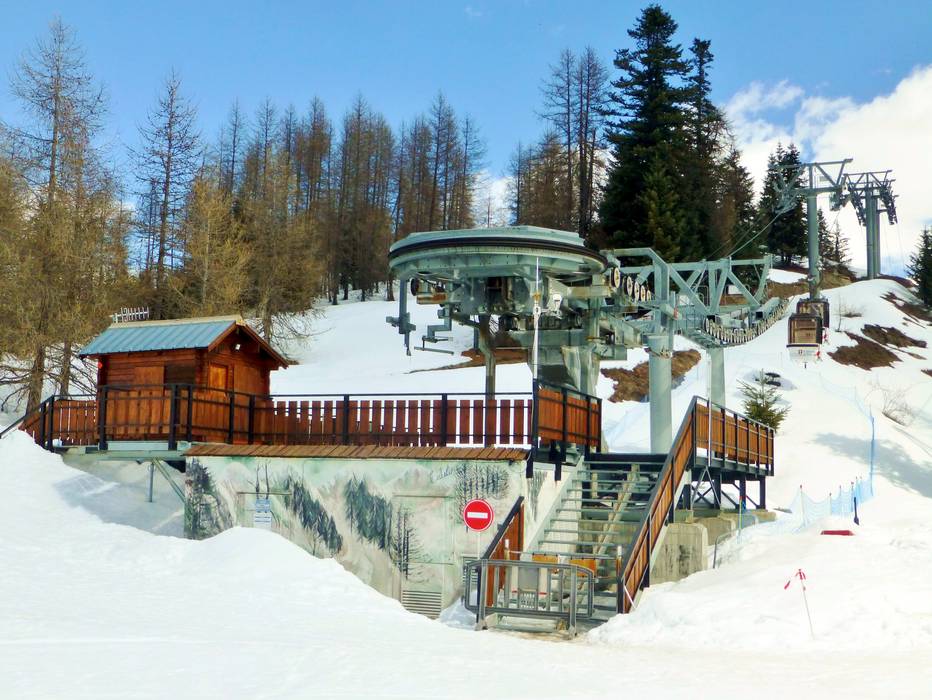
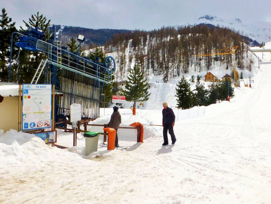
 Access to ski resort
  Town/village close to ski resort
  Traffic Junction