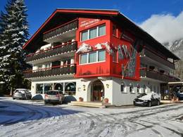
Vorderlanersbach (Tux)
0.2 km from the centre of the village to the ski resort
")
9.0 km from the centre of the village to the ski resort
")
Piste maps/trail maps around Vorderlanersbach (Tux)
More piste maps/trail maps
- 2 piste maps/trail maps in the Tuxertal
- 2 piste maps/trail maps in the Ski- & Glacier World Zillertal 3000
- 13 piste maps/trail maps in the District of Schwaz
- 38 piste maps/trail maps in the Tiroler Unterland
- 115 piste maps/trail maps in Tyrol (Tirol)
- 200 piste maps/trail maps in Western Austria
- 281 piste maps/trail maps in Austria (Österreich)
Feedback for the Skiresort.info Team? Please use this form
Tips for the ski holiday