Ski resorts Italy


Route planner Zoncolan – Ravascletto/Sutrio
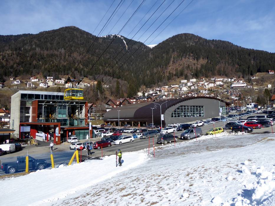
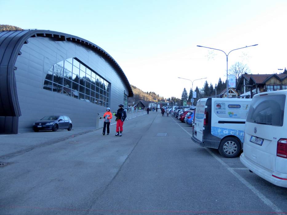
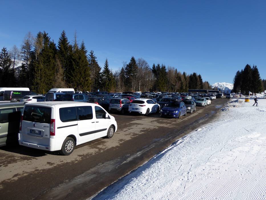
Access Zoncolan – Ravascletto/Sutrio & on-site parking
The ski resort of Zoncolan is located in the north east of Italy not far from the Austrian border. It is located in the north of the Friuli Venezia Giulia region, in Carnia. From the Alpe-Adria autostrada (motorway), the ski resort is around 30 minutes’ drive. It is around 1 hour’s drive from Udine and 1.5 hours from Villach and Lienz.The ski resort of Zoncolan can be accessed from two sides. A Funifor cable car travels up to the ski resort from the village of Ravascletto in the valley. From Sutrio, the second valley village, a famous pass road leads up to the Zoncolan high plain and the second entry point. The car parks are free of charge.
Access via
- Autostrada Alpe-Adria, Exit Carnia-Tolmezzo
32 km approx. 32 min » - A10 Tauernautobahn, Ausfahrt Lendorf (Knoten Spittal)
95 km approx. 102 min »
Mobility on-site
- Ski buses
Access via Autostrada Alpe-Adria, Exit Carnia-Tolmezzo
32 km Distance - approx. 32 Minutes driving time
Destination - Via Monte Zoncolan, 33020 Ravascletto, Italy
- Ideal entry for day visitors
- View on Google Maps
- usually enough available, tarmac car park, gravel car park
- free of charge
- Main street, Side road, Mountain road, well-developed, with significant incline
- Snow chains sometimes required by snowfall

33 km Distance - approx. 34 Minutes driving time
Destination - Via Monte Zoncolan, 33020 Sutrio, Italy
- Ideal entry for day visitors
- View on Google Maps
- enough available, tarmac car park, gravel car park
- free of charge
- Main street, Side road, Mountain road, well-developed, with significant incline
- Snow chains sometimes required by snowfall

Access via A10 Tauernautobahn, Ausfahrt Lendorf (Knoten Spittal)
95 km Distance - approx. 102 Minutes driving time
Destination - Via Monte Zoncolan, 33020 Ravascletto, Italy
- Ideal entry for day visitors
- View on Google Maps
- usually enough available, tarmac car park, gravel car park
- free of charge
- Main street, Side road, Mountain road, Mountain pass road, well-developed, with significant incline
- Snow chains sometimes required by snowfall
99 km Distance - approx. 106 Minutes driving time
Destination - Via Monte Zoncolan, 33020 Sutrio, Italy
- Ideal entry for day visitors
- View on Google Maps
- enough available, tarmac car park, gravel car park
- free of charge
- Main street, Side road, Mountain road, Mountain pass road, well-developed, with significant incline
- Snow chains sometimes required by snowfall
 Access to ski resort
  Town/village close to ski resort
  Traffic Junction
 All information is supplied without guarantee
The maps are provided by Google with the following information: „These directions are for planning purposes only. You may find that construction projects, traffic, weather, or other events may cause conditions to differ from the map results, and you should plan your route accordingly. You must obey all signs or notices regarding your route.“
Feedback for the Skiresort.info Team? Please use this form »
Book this ski resort
Tips for the ski holiday
Test Reports


