Orientation (Trail map, information boards, sign-postings) and safety in the ski resort Zillertal Arena – Zell am Ziller/Gerlos/Königsleiten/Hochkrimml
Trail map and overview maps
The piste map contains a lot of information about the ski area. Considering the size of the ski area, the piste map is very clear. All slopes are marked with numbers. It could be helpful to add which chairlifts have weather protection covers. The piste map is available in several languages, including German, English, Dutch, French, Russian, Polish, and Czech.
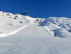
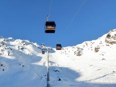
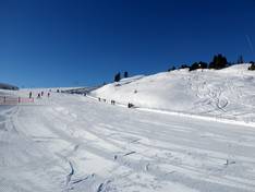
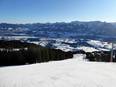
Information boards and sign-postings on the slopes
Throughout the entire ski area, there is excellent signage with trail maps at every junction and information on how to reach the main resorts. Digital displays with live status make orientation very easy. The Wi-Fi hotspots are clearly marked and the Wi-Fi works very well.
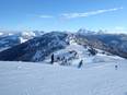
Trail map
Zillertal Arena – Zell am Ziller/Gerlos/Königsleiten/Hochkrimml Season 2025/2026