


22 km Distance - approx. 21 Minutes driving time
Destination - Rohr 23, 6280 Rohrberg-Rohr, Austria
- Ideal entry for day visitors
- View on Google Maps
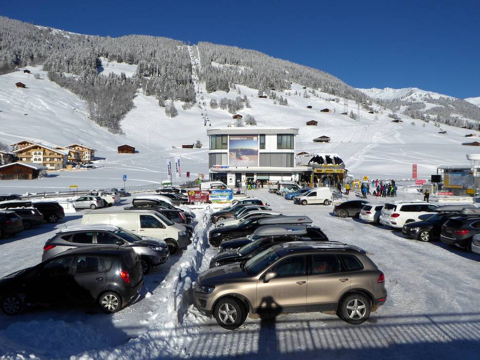
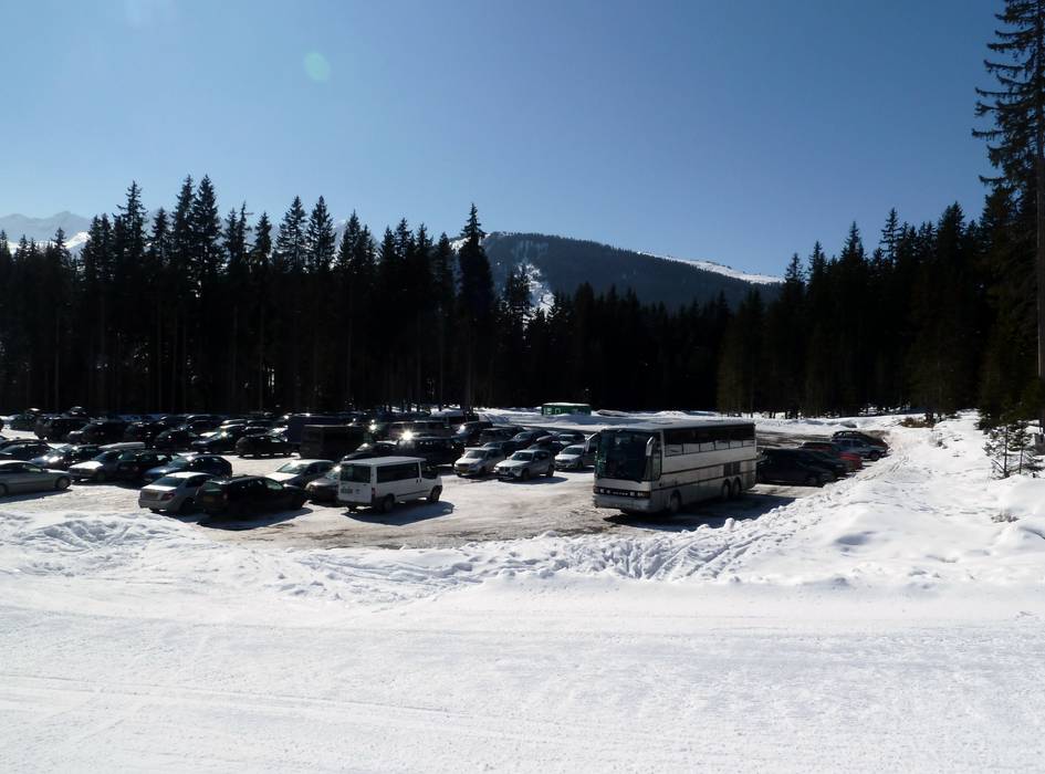
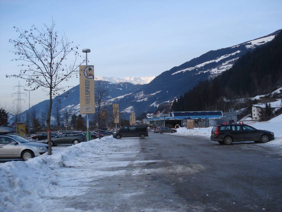
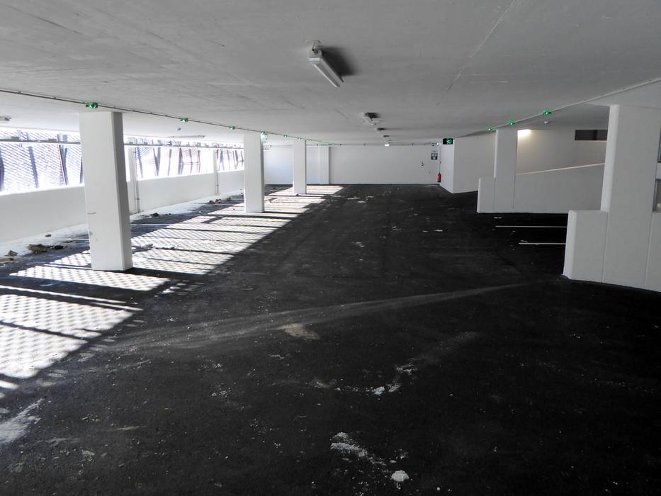
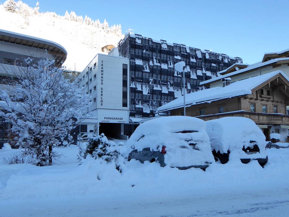
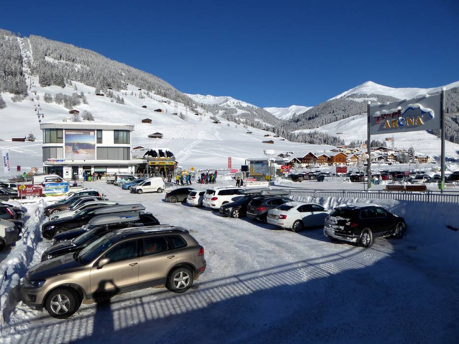
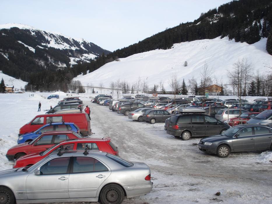
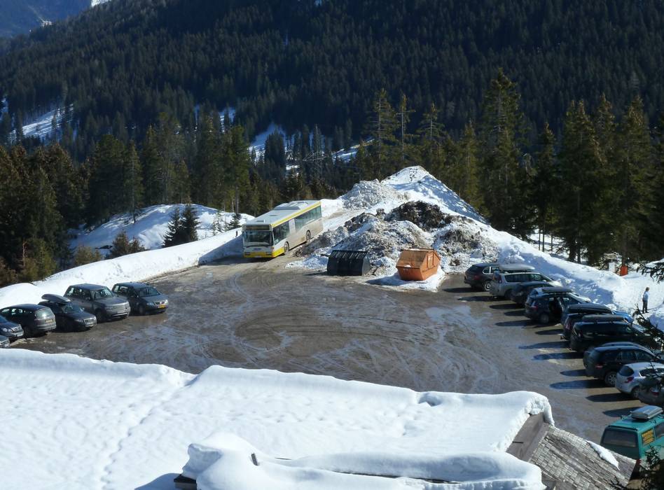
- usually enough available, tarmac car park
- free of charge
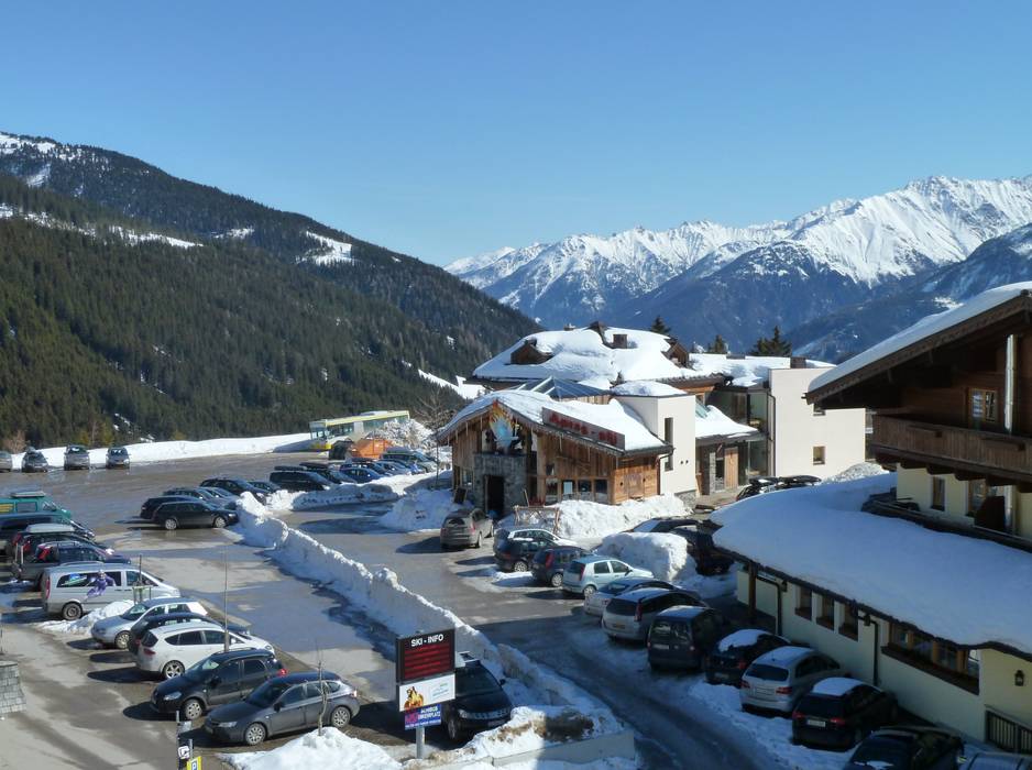
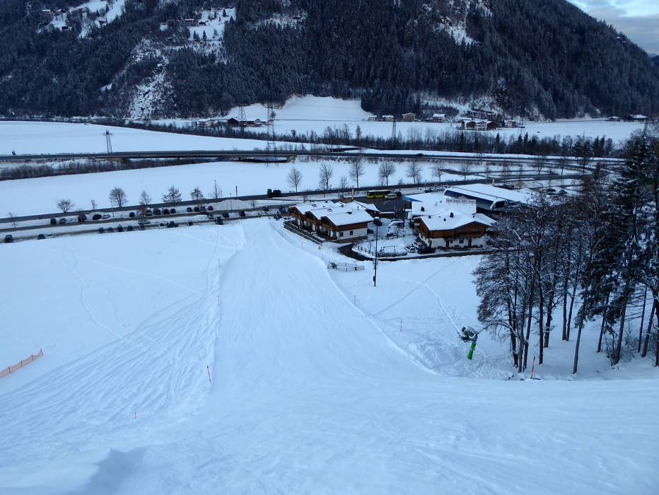
- Main street, well-developed, without significant incline
- Snow chains never actually required by snowfall
- Road closure due to avalanches extremely unlikely
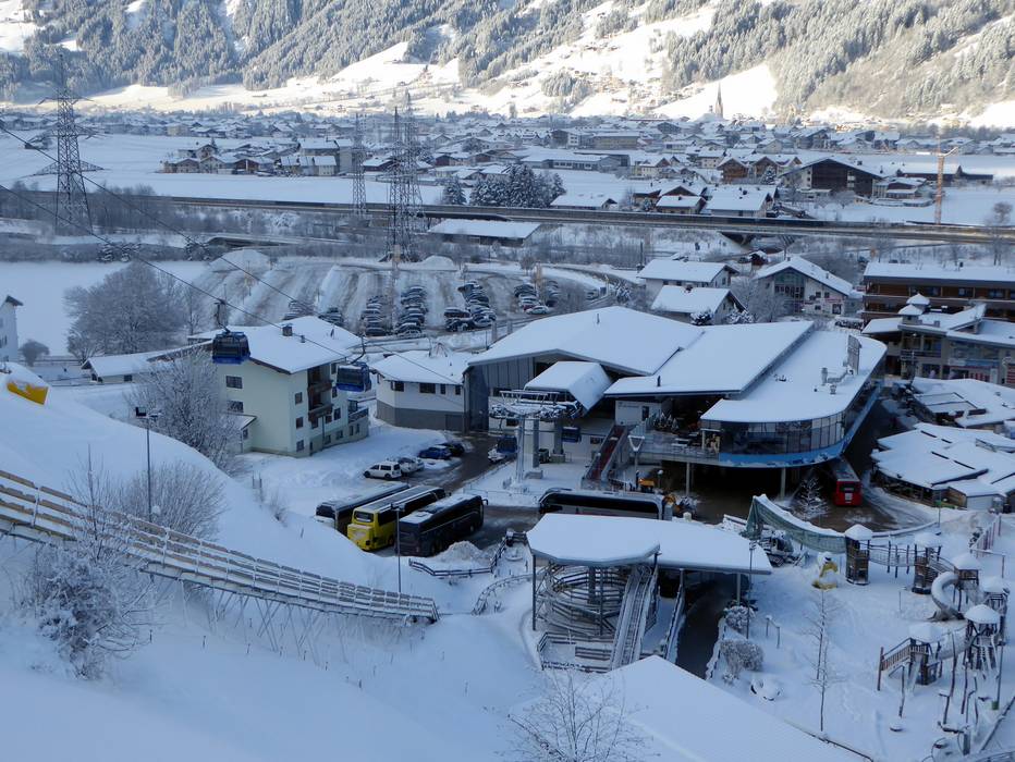
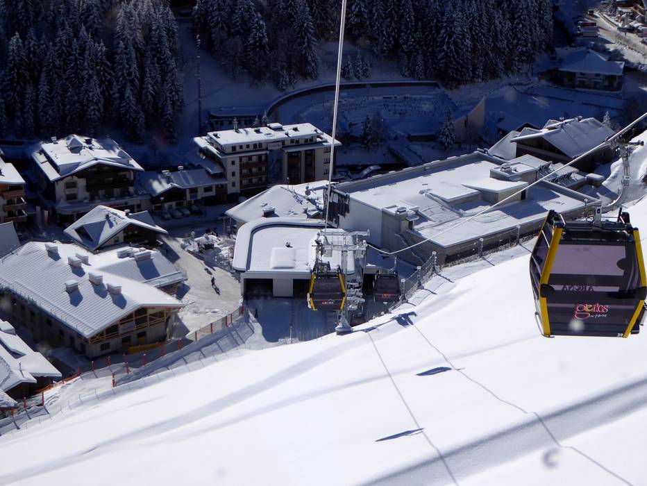
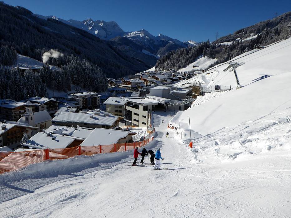
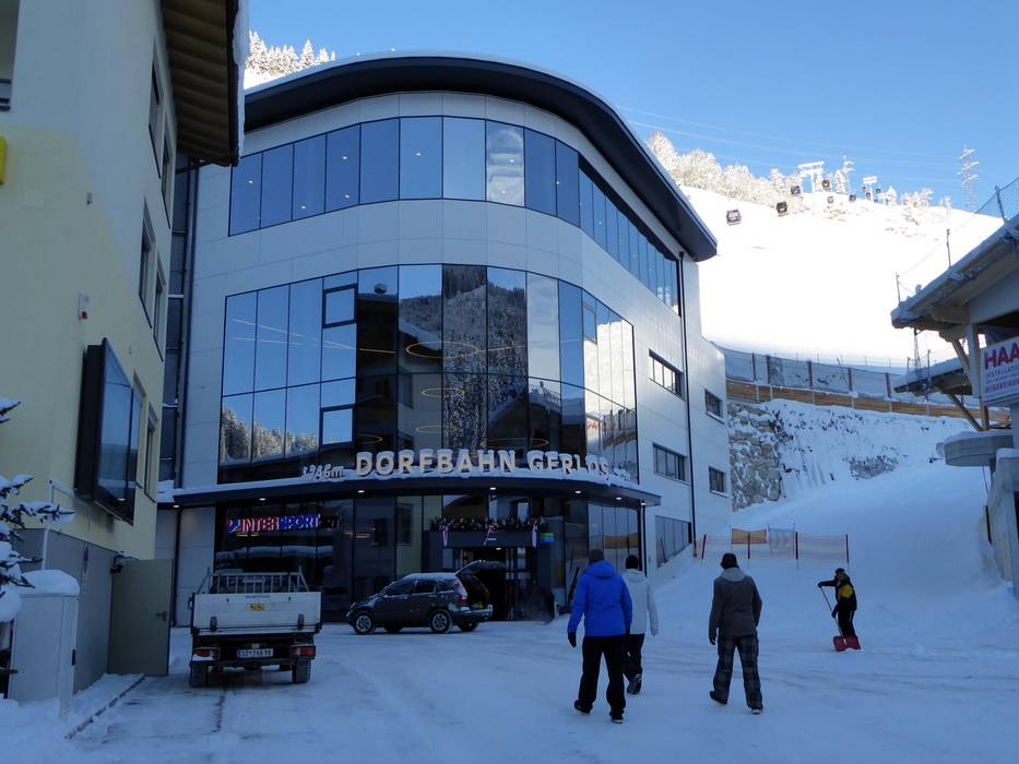
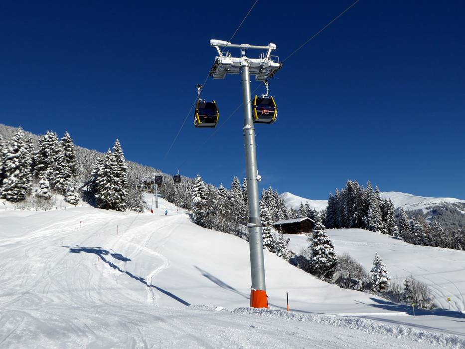
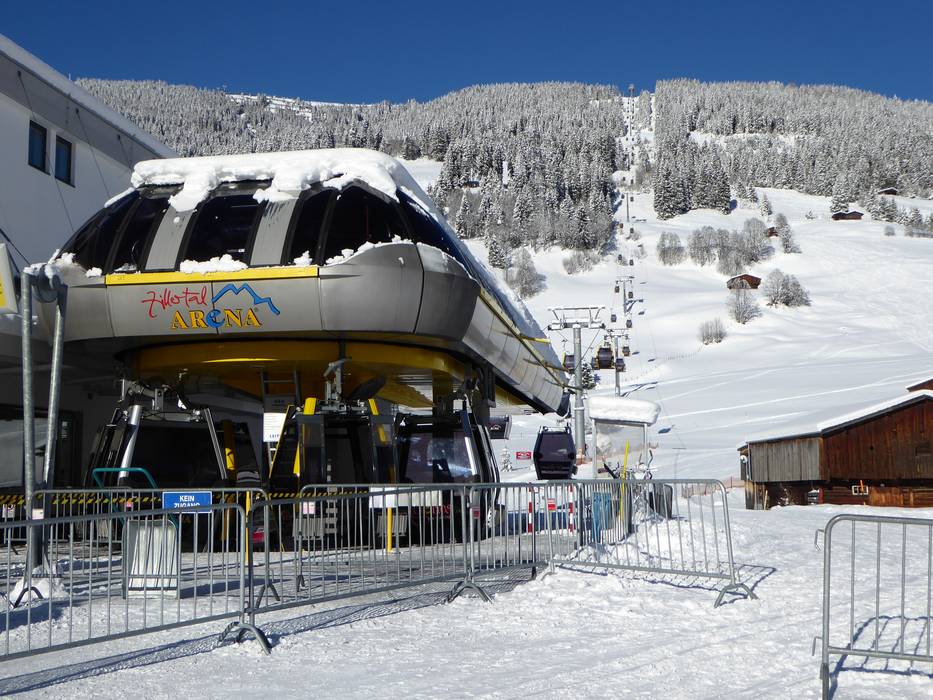
 Access to ski resort
  Town/village close to ski resort
  Traffic Junction