
131 km Distance - approx. 124 Minutes driving time
Destination - Zettersfeldstraße 38, 9900 Gaimberg, Austria
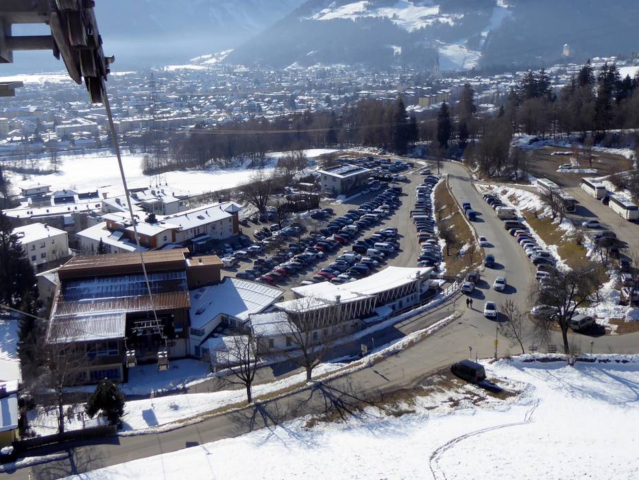
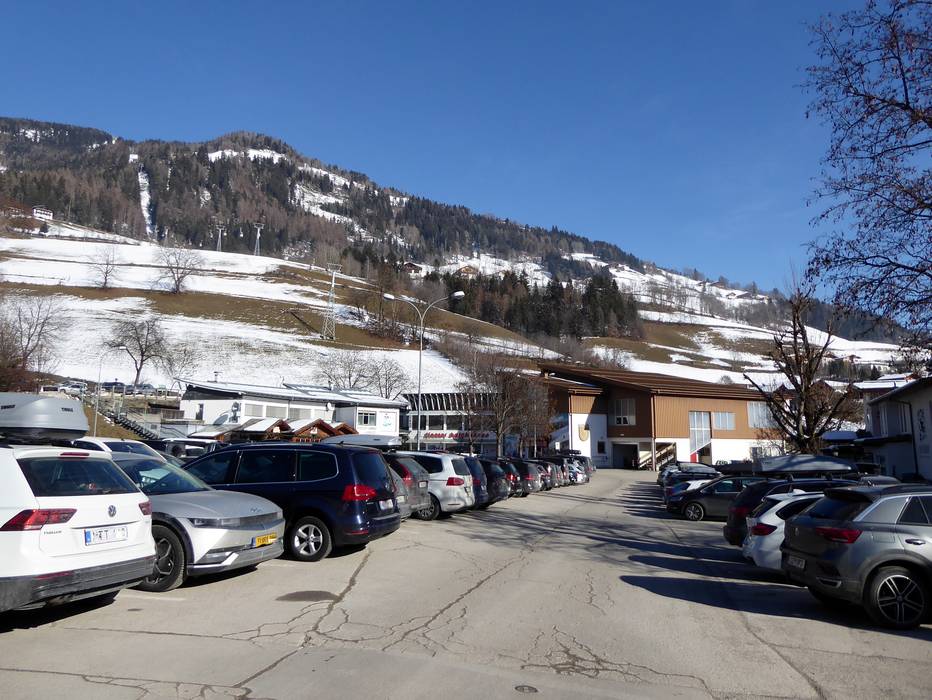
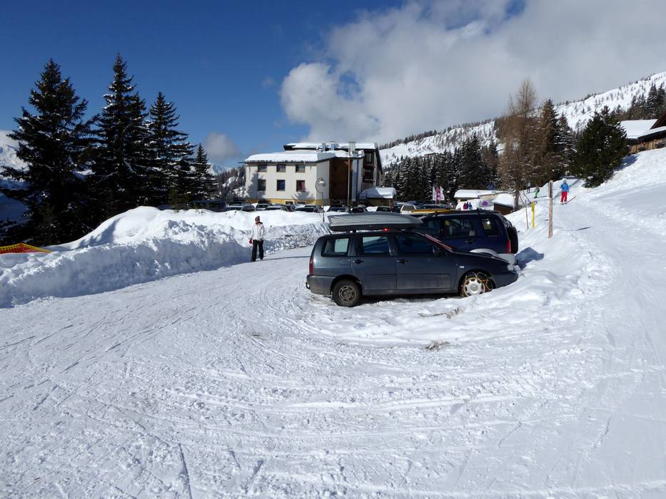
- Ideal entry for day visitors
- View on Google Maps
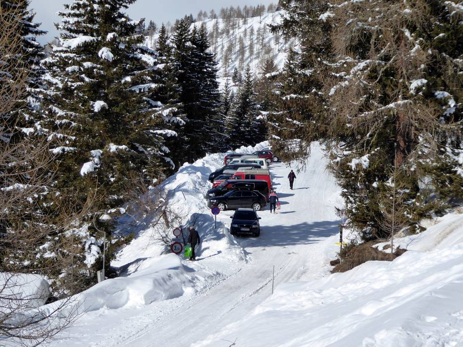
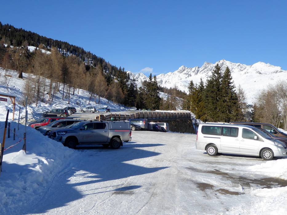
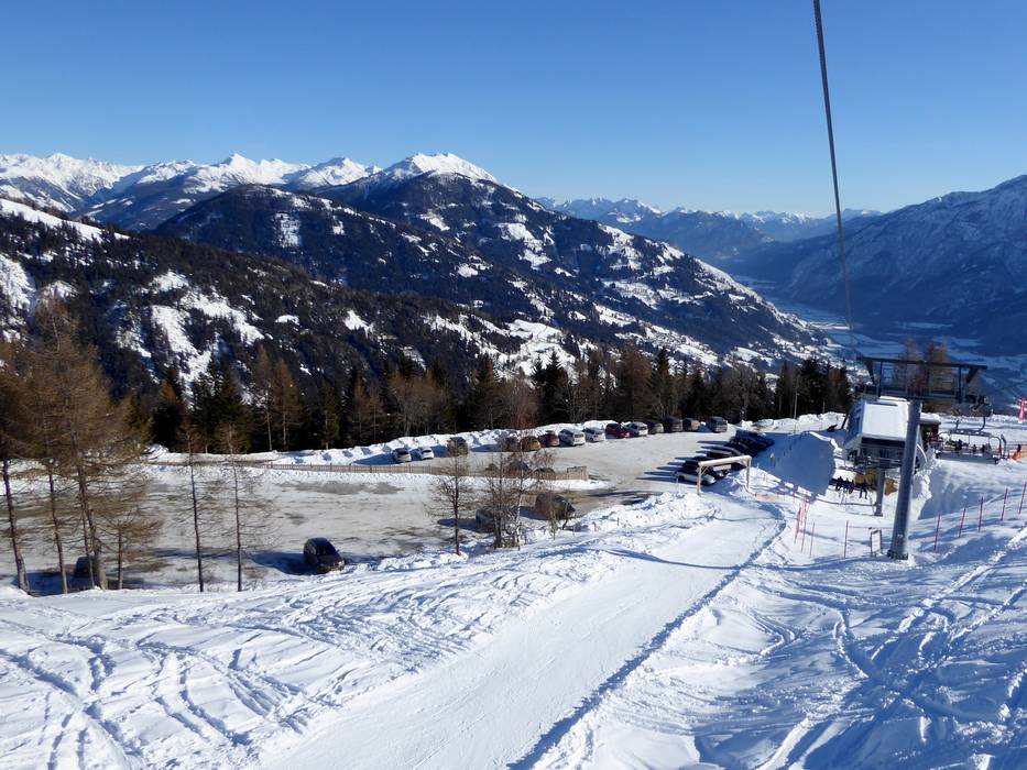
- usually enough available, tarmac car park, gravel car park
- free of charge
- Mountain road, well-developed

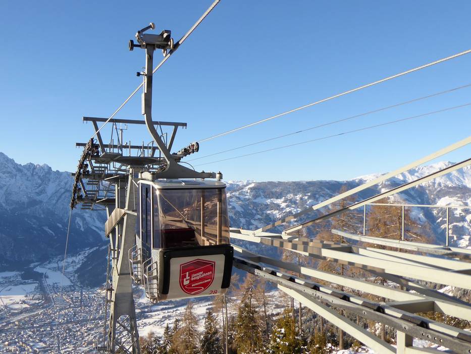
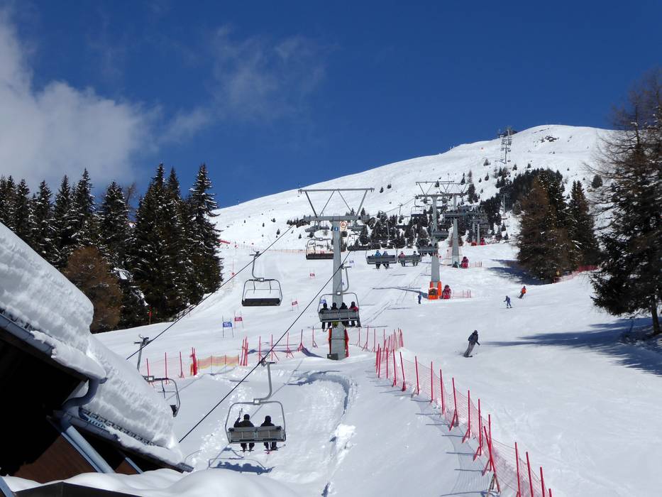
 Access to ski resort
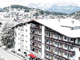
  Town/village close to ski resort
  Traffic Junction
