Ski resorts Switzerland

Route planner Zermatt/Breuil-Cervinia/Valtournenche – Matterhorn
Access Zermatt/Breuil-Cervinia/Valtournenche – Matterhorn & on-site parking
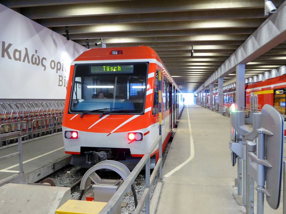
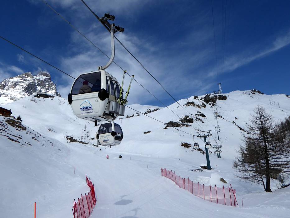
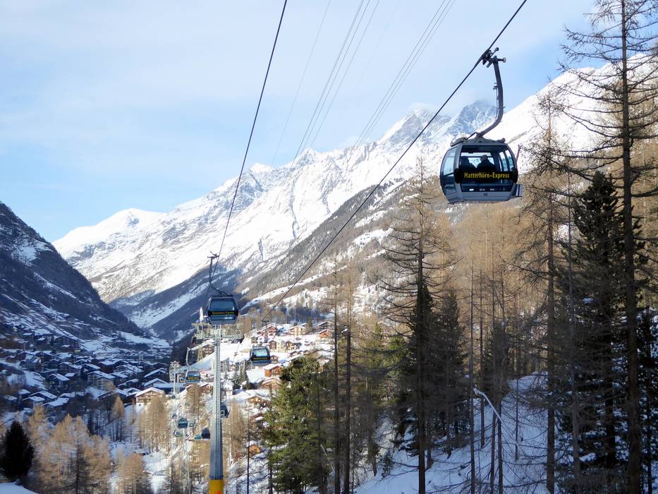
The ski resort is accessed either via Zermatt (Switzerland), Breuil-Cervinia (Italy) or Valtournenche (Italy).Zermatt is located in the Canton of Valais in southwestern Switzerland. You can only access Zermatt by train because it is a car-free village. You park your car in Täsch in a parking garage (2100 spaces, fee is charged) and board the train. Modern shuttle trains depart for Zermatt every 20 minutes and the ride takes 12 minutes. You can access Täsch from different directions, but you must always travel through the valley from Visp to Täsch if you don't board the train already in Visp.
From Germany: Basel–Bern–Thun–Kandersteg (Lötschberg auto train)–Goppenstein–Visp or via Zurich (direction of Gotthard)–Furka auto train (Realp–Oberwald) and then continue through Goms towards Visp.
From western Switzerland: A9 from Lake Geneva towards Visp.
From Milan/Italy: Through the Simplon Pass (open all year) or with the Brig-Iselle auto train to Visp.
You can also arrive in Zermatt by helicopter. The heliport in Zermatt is operated by Air Zermatt.
Breuil-Cervinia and Valtournenche are located in the Aosta Valley in north-western Italy. Access via Autobahn A5 Turin-Aosta, Châtillon/Saint-Vincent exit. A mountain road leads to Valtournenche (21 km away) and to Breuil-Cervinia (29 km away). Breuil-Cervinia lies at 2050 m.
Winter Closure
The Furka Pass and the Oberalp Pass are closed during the winter. Access from the north and west is via the Furka auto train (Realp-Oberwald) or Lötschberg.
Access via
- A9 Autoroute du Rhône, end of Autoroute near Sierre
56 km approx. 59 min » - Autobahn A5 Turin-Aosta, Ausfahrt Châtillon/Saint-Vincent
21 km approx. 31 min »
Mobility on-site
- Comprehensive ski bus network
- Scheduled buses
- Electric buses and taxis are used in Zermatt.
Access via A9 Autoroute du Rhône, end of Autoroute near Sierre
56 km Distance - approx. 59 Minutes driving time
Destination - Bahnhofstrasse, 3929 Täsch, Switzerland
- Ideal entry for day visitors
- View on Google Maps
- enough available, covered car park
- for a fee
- Main street, Mountain road, well-developed, with significant incline
- Snow chains sometimes required by snowfall
- Road closure due to avalanches sometimes possible
, Täsch")
Access via Autobahn A5 Turin-Aosta, Ausfahrt Châtillon/Saint-Vincent
21 km Distance - approx. 31 Minutes driving time
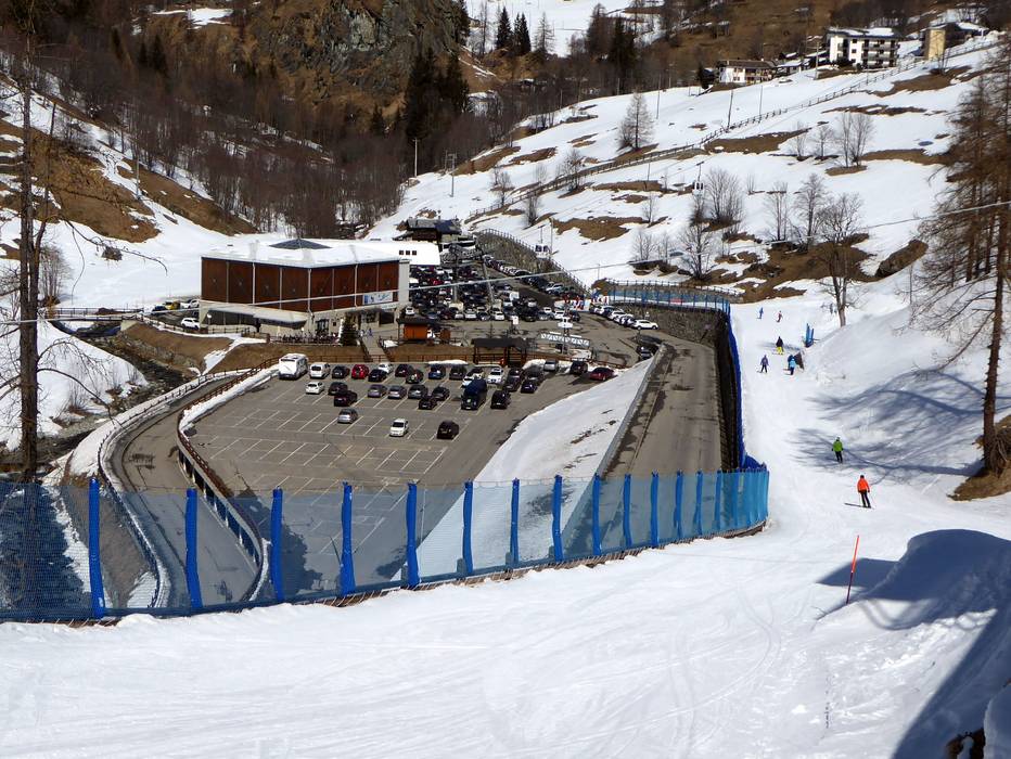
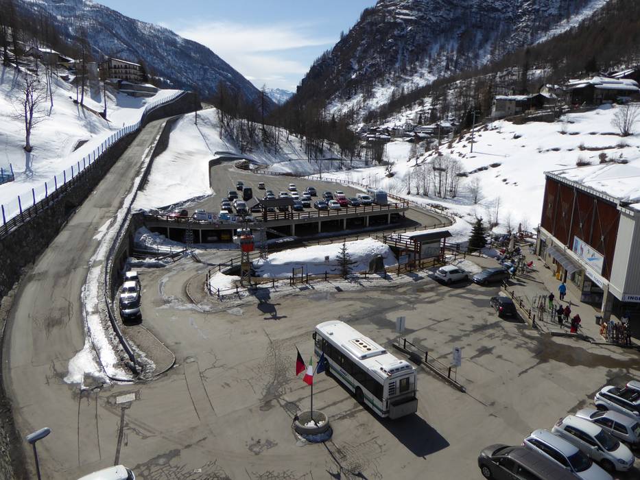
Destination - Plan de la Glaea, 11028 Valtournenche, Italy
- Ideal entry for day visitors
- View on Google Maps
- usually enough available, covered car park, tarmac car park, gravel car park
- free of charge
- Side road, Mountain road, well-developed, with significant incline
- Snow chains sometimes required by snowfall

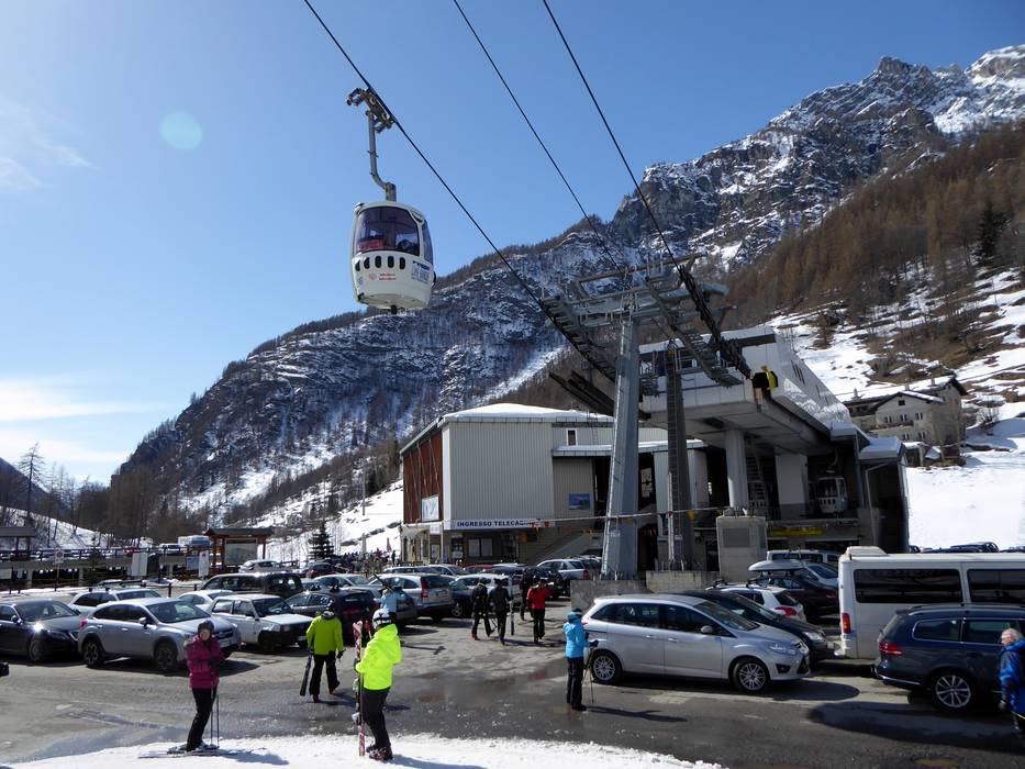
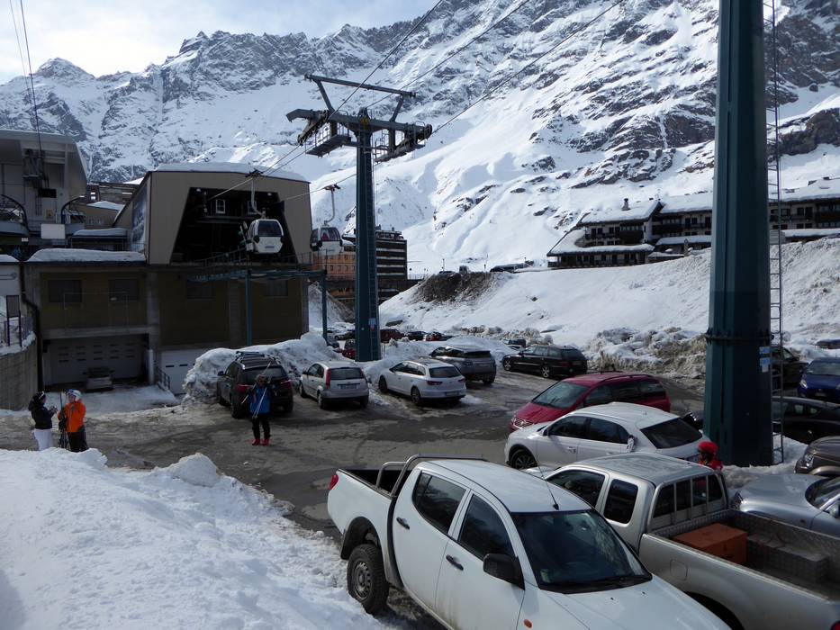
29 km Distance - approx. 43 Minutes driving time
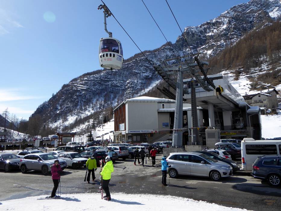
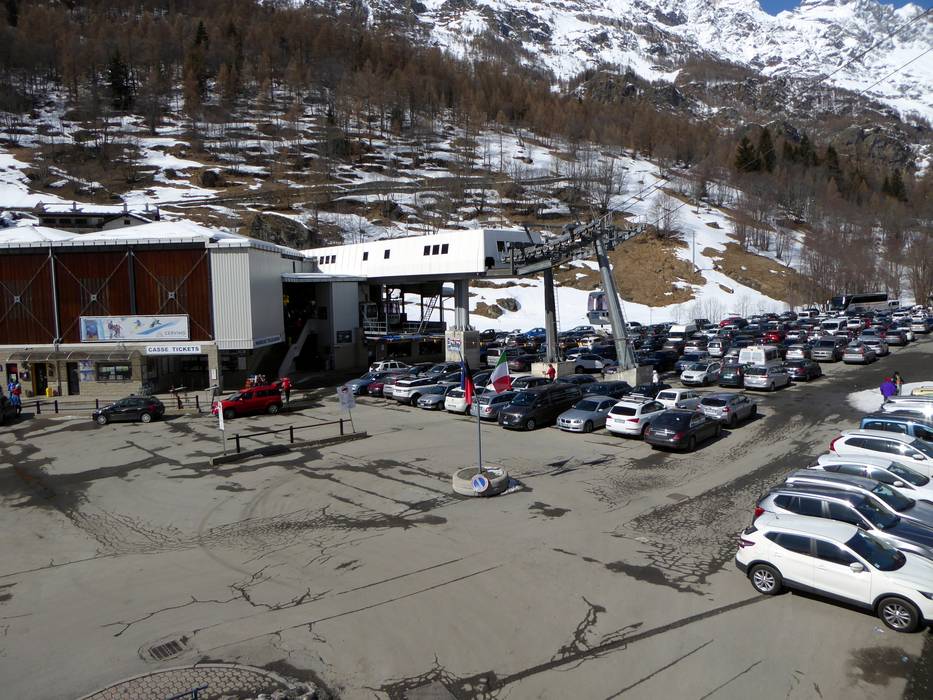
Destination - Via Funivie, 11021 Breuil-Cervinia, Italy
- Entry suitable for day visitors
- View on Google Maps
- usually enough available, tarmac car park, gravel car park
- for a fee
- Side road, Mountain road, well-developed, with significant incline
- Snow chains sometimes required by snowfall

More Entry point(s) to the ski resort
Destination
- Schluhmattstraße, 3920 Zermatt, Switzerland
- View on Google Maps
- none
")
Destination
- Wiestistraße, 3920 Zermatt, Switzerland
- View on Google Maps
- none

Destination
- Bahnhofplatz, 3920 Zermatt, Switzerland
- View on Google Maps
- none

Destination
- Via Bich Breuil Cervinia, 11028 Valtournenche, Italy
- View on Google Maps
Destination
- Str. del Cielo Alto Breuil-Cervinia, 11028 Valtournenche, Italy
- View on Google Maps
 Access to ski resort
  Town/village close to ski resort
  Traffic Junction
 All information is supplied without guarantee
The maps are provided by Google with the following information: „These directions are for planning purposes only. You may find that construction projects, traffic, weather, or other events may cause conditions to differ from the map results, and you should plan your route accordingly. You must obey all signs or notices regarding your route.“
Feedback for the Skiresort.info Team? Please use this form »
Book this ski resort

Tips for the ski holiday


