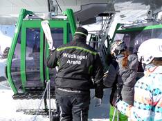
Orientation (Trail map, information boards, sign-postings) and safety in the ski resort Wildkogel – Neukirchen/Bramberg
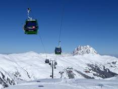
Trail map and overview maps
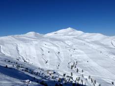
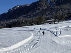
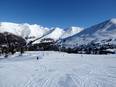
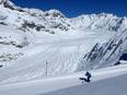
The piste map provides an excellent description of all lifts, slopes, and dining options. Each facility is individually listed on the piste map with technical data and the time of the last ascent. There is plenty of information about the ski area, such as ski pass prices, events, and toboggan runs. The piste map gives a very good overview of the entire Wildkogel ski area. Thanks to the arrows on the slopes and lifts, the directions are now very easy to understand.
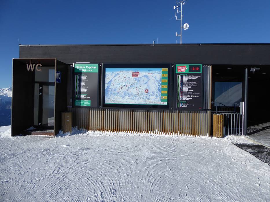
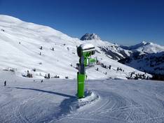
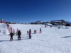
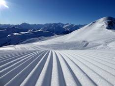
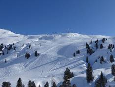
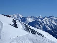
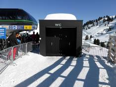
Information boards and sign-postings on the slopes
In the Wildkogel ski area, there are many slope signs and modern information boards at the main stations. At the most important stations, digital information boards display which ski lifts and slopes are open or closed. At the end of the valley run in Neukirchen, there is also a digital information system. All slopes are very well signposted and marked.