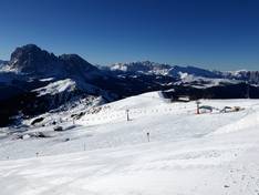
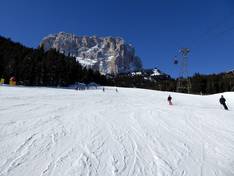
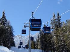
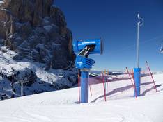
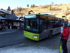
Orientation (Trail map, information boards, sign-postings) and safety in the ski resort Val Gardena (Gröden)
Trail map and overview maps
On the slope map of Gröden, the course of the slopes is very easy to see and it includes many altitude indications. It is very positive that it shows whether chairlifts are detachable (high-speed lifts). Snowparks and children's parks are easy to find. There is also a depiction of the Sellaronda and the connected ski regions. Unfortunately, the names of the slopes and huts are not visible on the map.
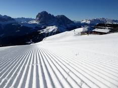
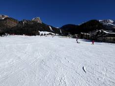
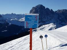
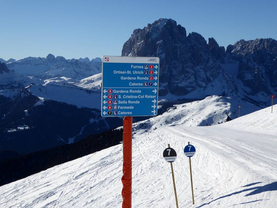
Information boards and sign-postings on the slopes
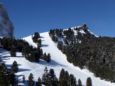
The presentation of the Sellaronda (circuit around the Sella massif) is ideal. The two colors, green and orange, clearly indicate the different directions around the Sella massif. However, comprehensive information boards could be added in some places, and more up-to-date operational information could be provided.


")