Orientation (Trail map, information boards, sign-postings) and safety in the ski resort Titlis – Engelberg
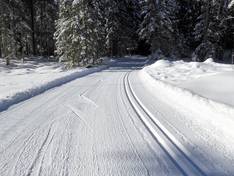
Trail map and overview maps
The piste map provides an excellent overview of the Engelberg ski areas (Titlis and Brunni). All slopes, lifts, altitude information, mountain huts, cross-country trails, and hiking paths are included. Additionally, you will find information about operating hours and prices. On the reverse side, there is further information about summer activities. The individual slope names and lift names could be added in more detail.
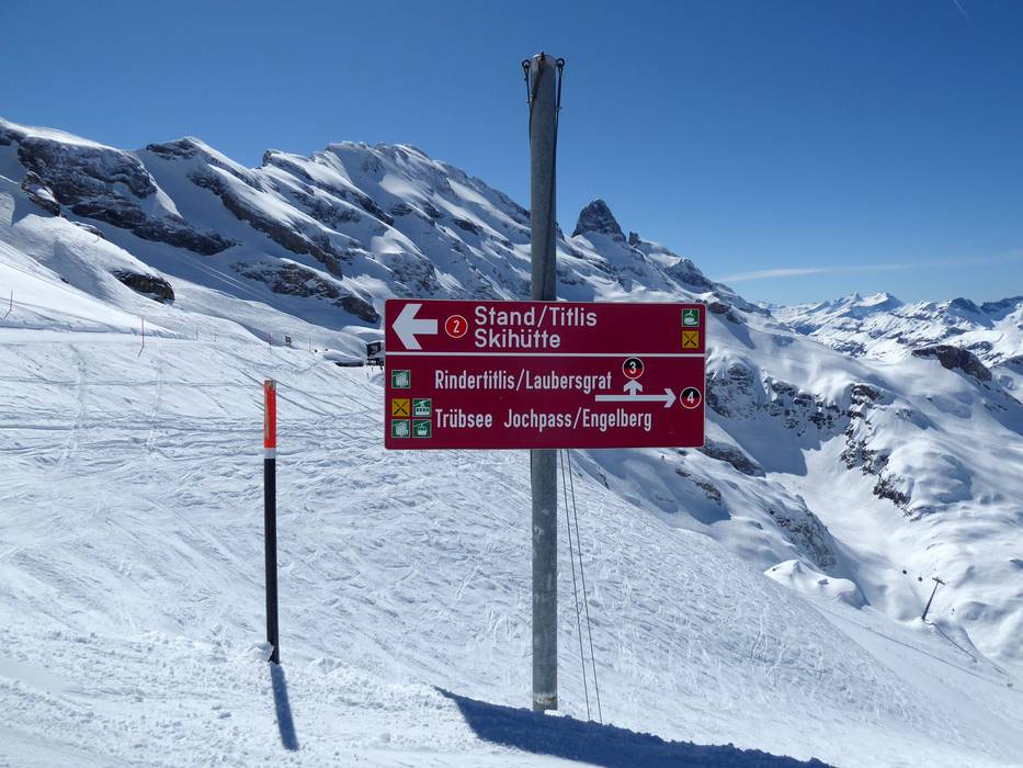
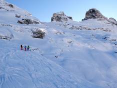
Information boards and sign-postings on the slopes
The signage in the ski area is very good. At all junctions, there are signposts and, in some cases, piste maps. In the individual stations, modern info screens provide you with up-to-date information.