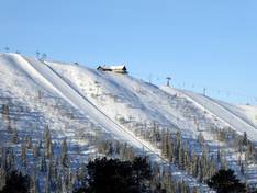
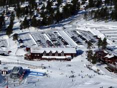
Orientation (Trail map, information boards, sign-postings) and safety in the ski resort Tandådalen/Hundfjället (Sälen)
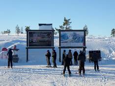
Trail map and overview maps
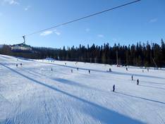
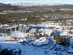
The slope map provides a good overview of the four ski areas of Skistar Sälen. All lifts, slopes, and dining options are marked. However, it is quite difficult to see whether and which sub-areas are interconnected. Tandådalen and Hundfjället are connected by lifts. Lindvallen and Högfjellet can only be reached by bus or car. On the reverse side, additional activities and the bus schedule are also provided.
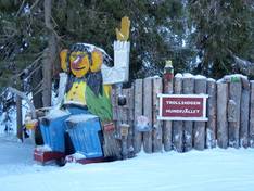
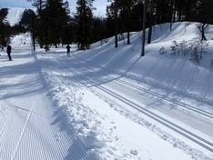
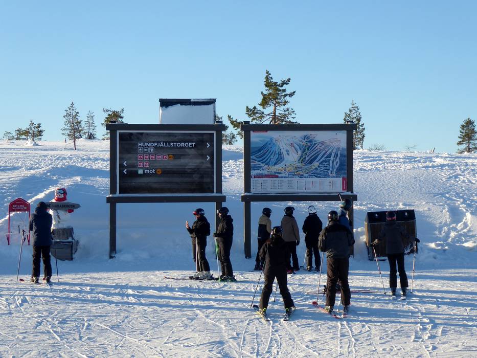
Information boards and sign-postings on the slopes
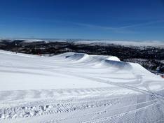
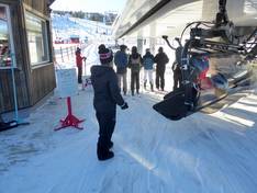
In the Tandådalen/Hundfjället ski area, all slopes are signposted. At certain points, you will find trail maps. Up-to-date operating information about open lifts and slopes can be found at some valley stations, online in the SkiStar app, or on the ski area's website. In many cases, the waiting times at individual lifts are even displayed.

")
")