
34 km Distance - approx. 37 Minutes driving time
Destination - Sudelfeldstraße, 83735 Bayrischzell, Germany
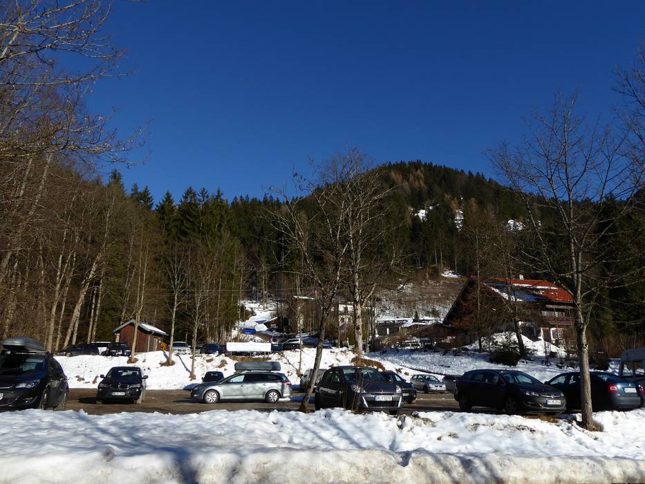
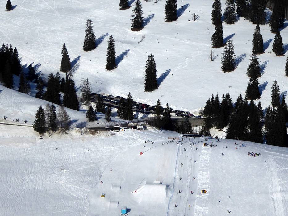
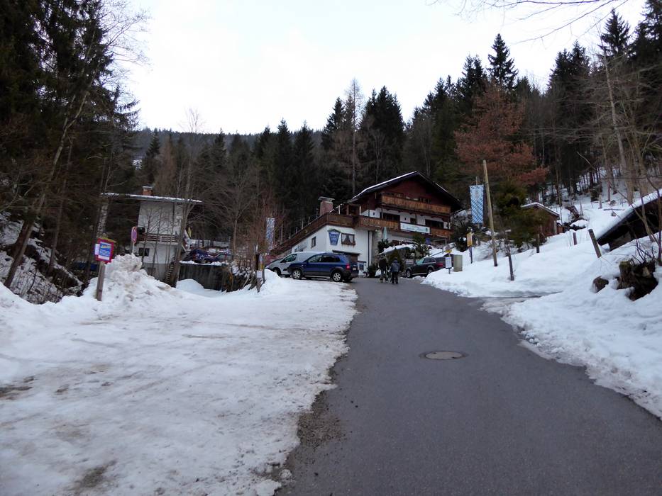
- Ideal entry for day visitors
- View on Google Maps
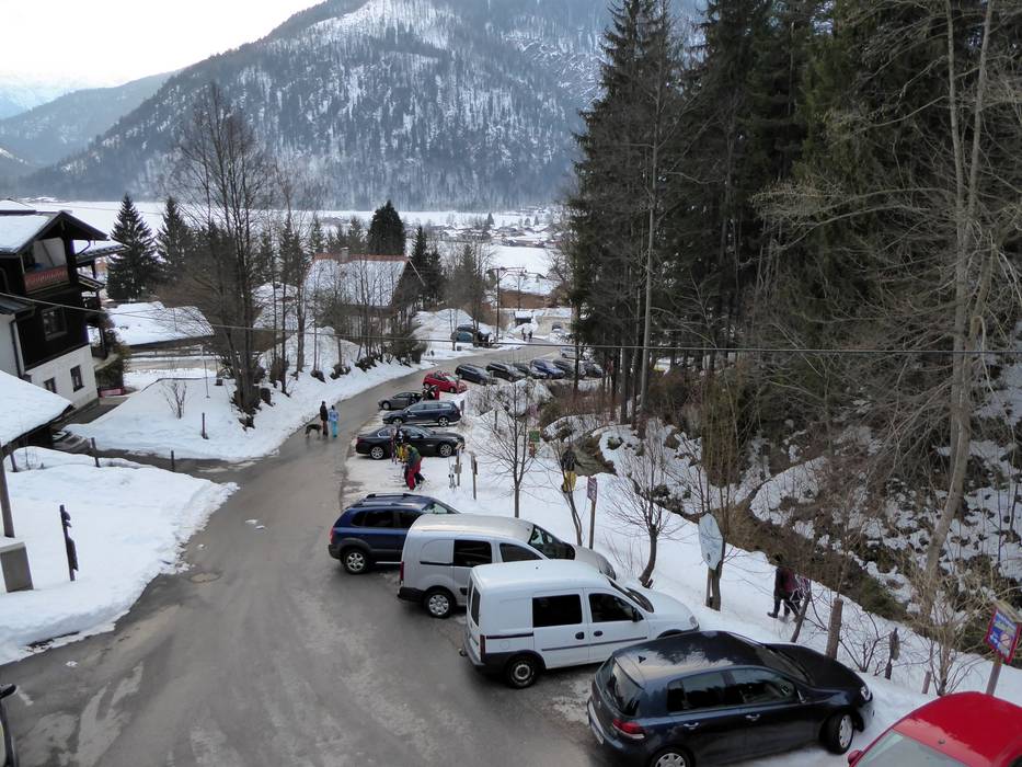
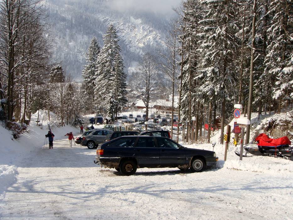
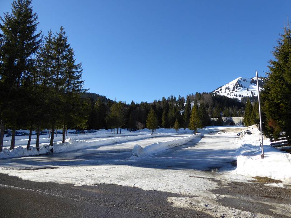
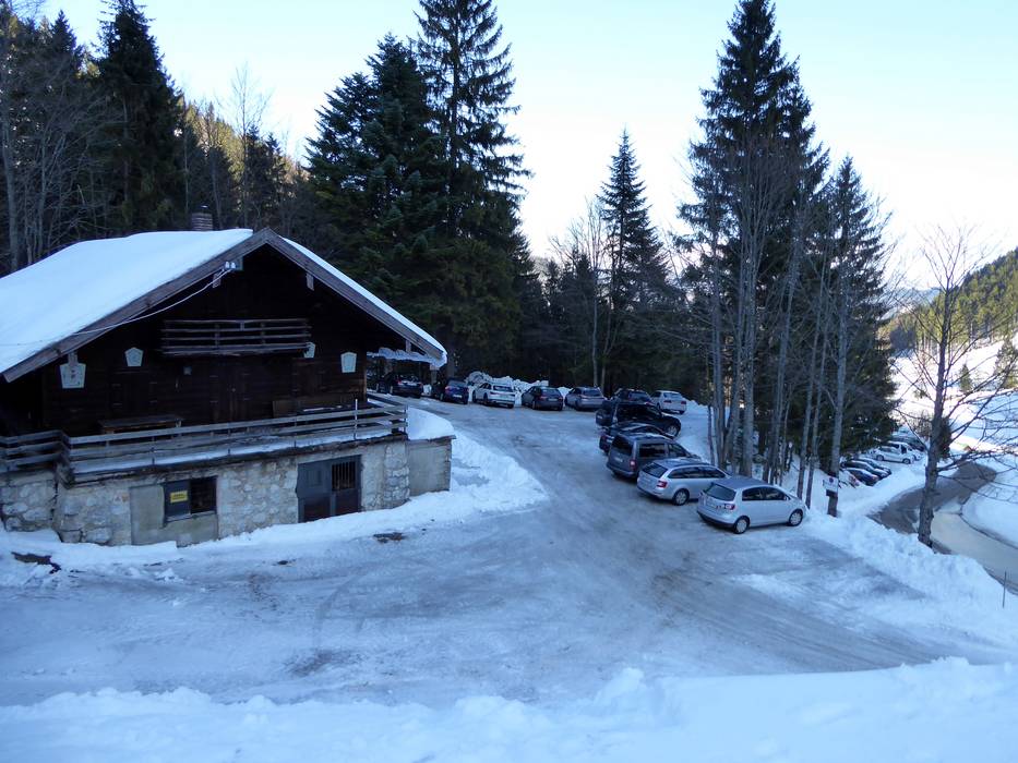
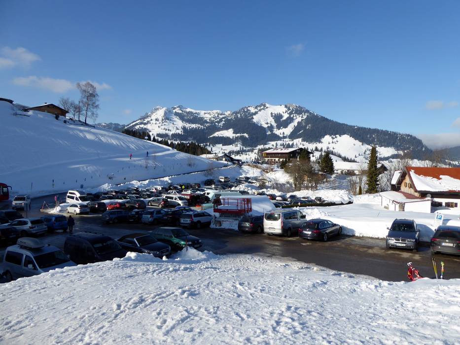
- limited amount available, tarmac car park, gravel car park
- for a fee
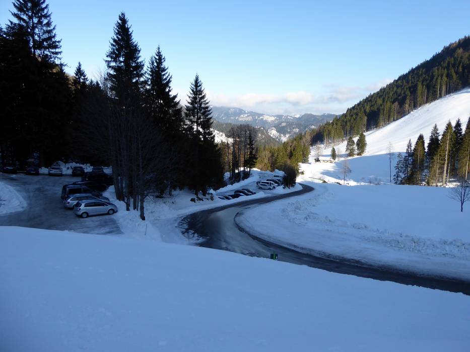
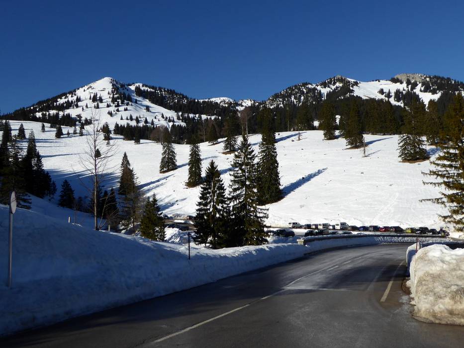
- Main street, well-developed, without significant incline
- Snow chains almost never required by snowfall
- Road closure due to avalanches extremely unlikely
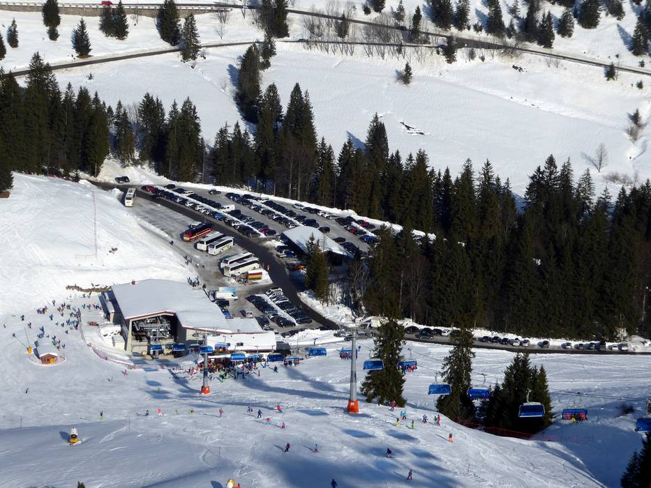
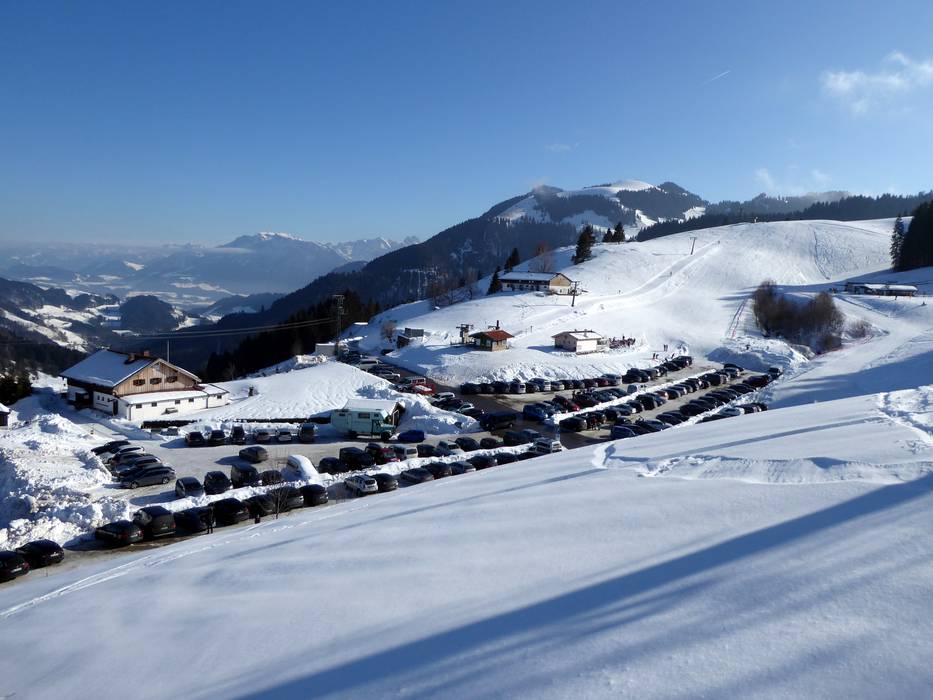
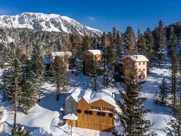
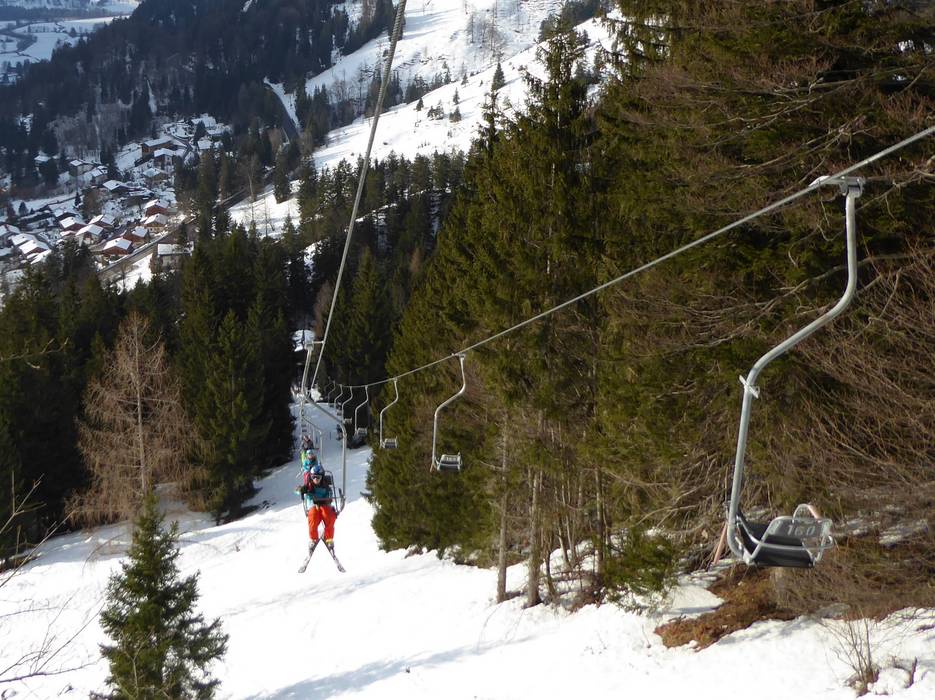
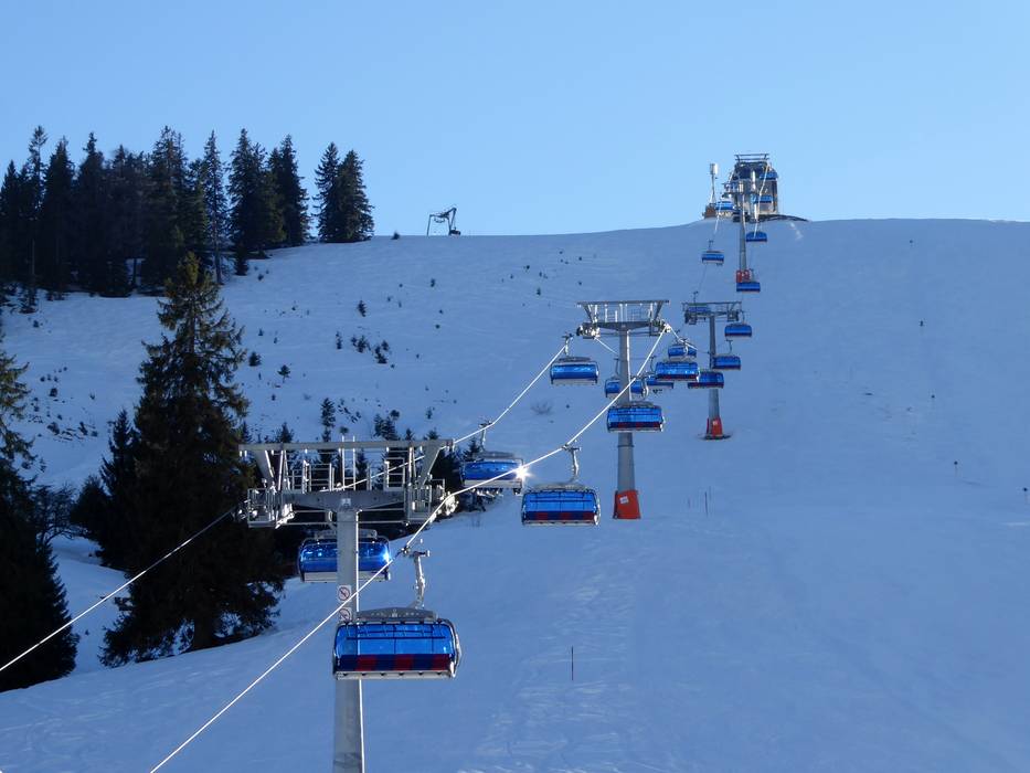
 Access to ski resort
  Town/village close to ski resort
  Traffic Junction