
Evaluated by Skiresort.info, the world's largest test portal for ski resorts.
The evaluation is done as follows
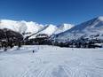
Orientation (Trail map, information boards, sign-postings) and safety in the ski resort Sommet Saint-Sauveur
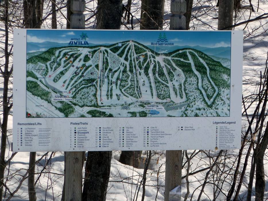
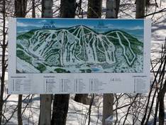
Trail map and overview maps
The piste map provides a good overview of the Mont Saint-Sauveur and Mont Avila ski areas. Unfortunately, altitude information and detailed information about the lifts are missing.
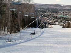
Information boards and sign-postings on the slopes
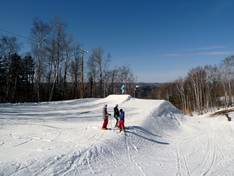
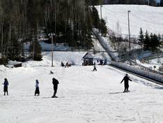
The slopes are all marked and signposted with numbers and names. It's easy to find your way around, and you can always easily return to the valley to your starting point.
Trail map

Sommet Saint-Sauveur Season 2025/2026
Top Orientation


8 strengths of this ski resort


Feedback for the Skiresort.info Team? Please use this form
Select specific criteria
Top evaluation criteria
Further evaluation criteria
Orientation (trail map, information boards, sign-postings)
Evaluation criteria for special interests
Feedback for the Skiresort.info Team? Please use this form
Book this ski resort
Test Reports
Tips for the ski holiday