
4 km Distance - approx. 7 Minutes driving time
Destination - Chemin du Mont Saint Sauveur, J0R 1R3 Saint-Sauveur, QC, Canada
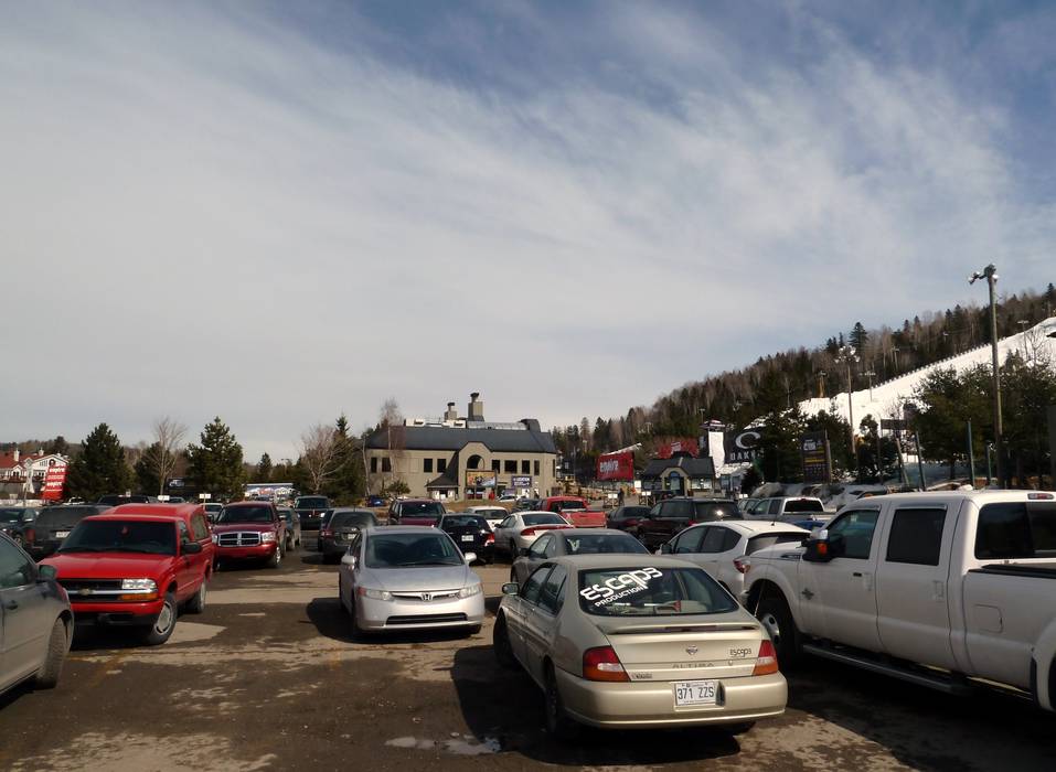
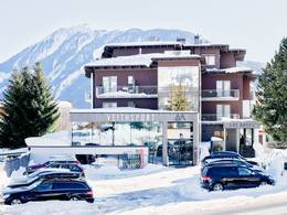
- Ideal entry for day visitors
- View on Google Maps
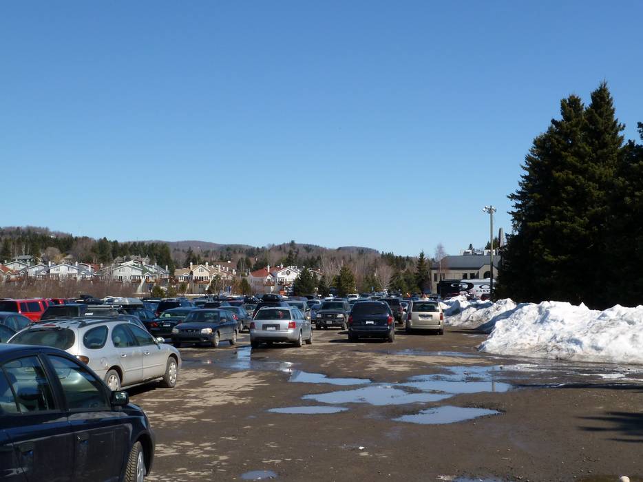
- enough available, tarmac car park, gravel car park
- free of charge
- Valet parking is also available, but a fee applies.
- Side road, well-developed, without significant incline
- Snow chains almost never required by snowfall
- No chance of road closure due to avalanches
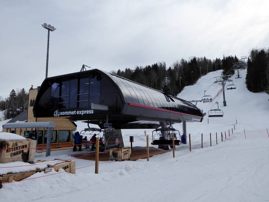
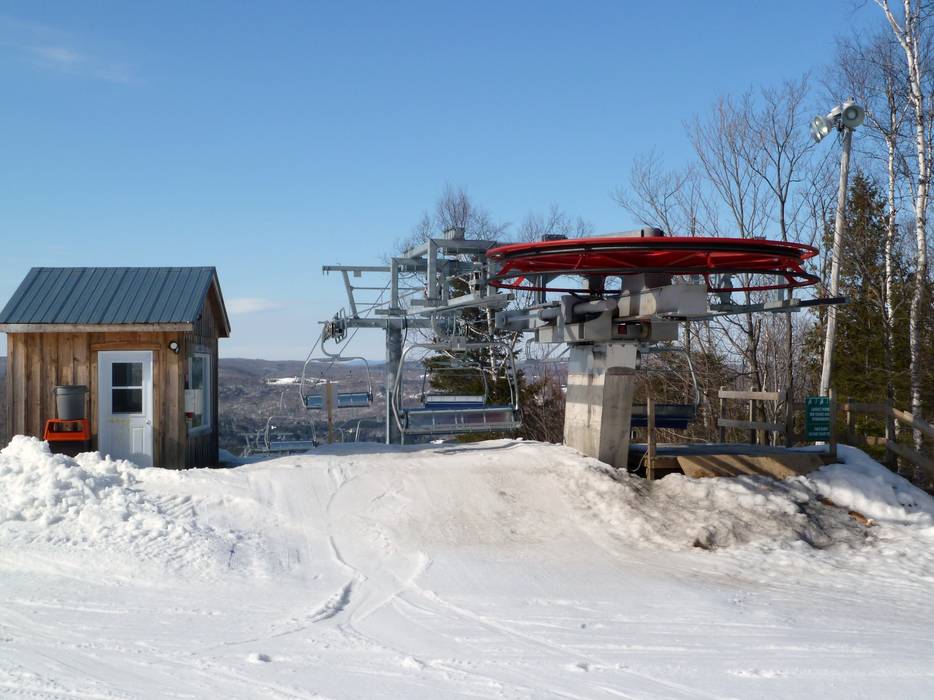
 Access to ski resort
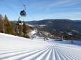
  Town/village close to ski resort
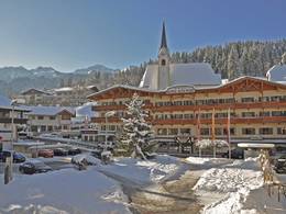
  Traffic Junction
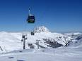