
Evaluated by Skiresort.info, the world's largest test portal for ski resorts.
The evaluation is done as follows
Orientation (Trail map, information boards, sign-postings) and safety in the ski resort Saint-Lary-Soulan
Trail map and overview maps
The piste map provides a good overview of the Saint-Lary-Soulan ski area with all slopes and lifts. Additional information about the individual lift facilities would be helpful. On the reverse side, you will find further information about the ski area.
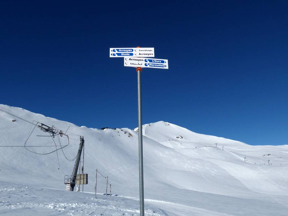
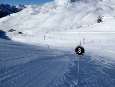
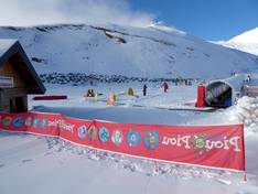
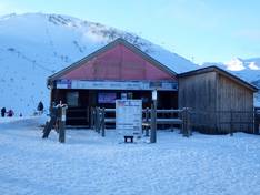
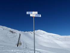
Information boards and sign-postings on the slopes
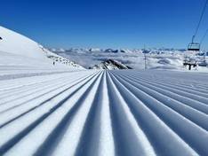
All slopes in the Saint-Lary-Soulan ski area are signposted. At the valley stations, you will often find large slope maps with current operating information. Even in foggy conditions, it is easy to find your way on the slopes above the tree line, as all the slopes are perfectly marked.
Trail map

Saint-Lary-Soulan Season 2025/2026
Top Orientation


16 strengths of this ski resort


Feedback for the Skiresort.info Team? Please use this form

Select specific criteria
Top evaluation criteria
Further evaluation criteria
Orientation (trail map, information boards, sign-postings)
Evaluation criteria for special interests
Feedback for the Skiresort.info Team? Please use this form
Test Reports


Tips for the ski holiday