
88 km Distance - approx. 108 Minutes driving time
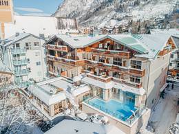
Destination - Waldweg Bodmen, 3906 Saas-Fee, Switzerland
- Entry suitable for day visitors
- View on Google Maps
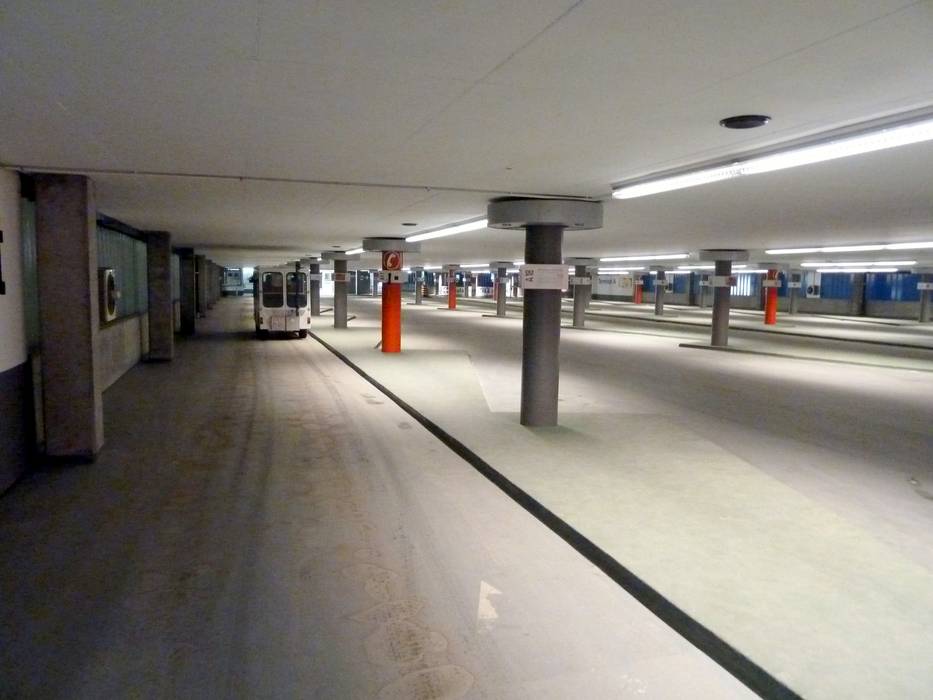
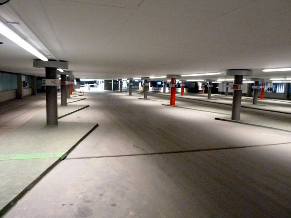
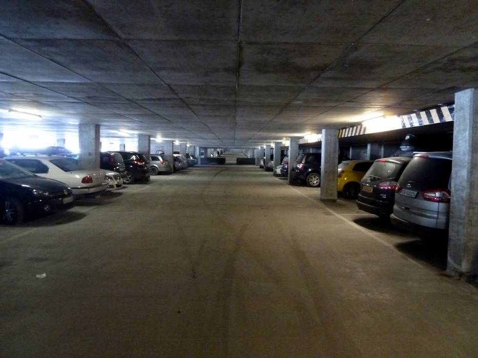
- enough available, covered car park, tarmac car park
- for a fee
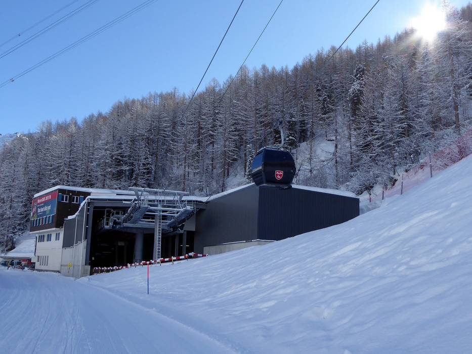
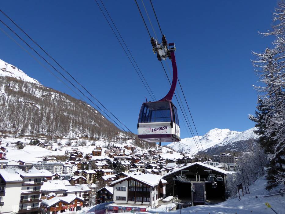
- From the parking garage, you can reach the Alpin Express valley station directly by free ski bus or on foot.
- Side road, Mountain road, well-developed
- Snow chains sometimes required by snowfall
- Road closure due to avalanches unlikely

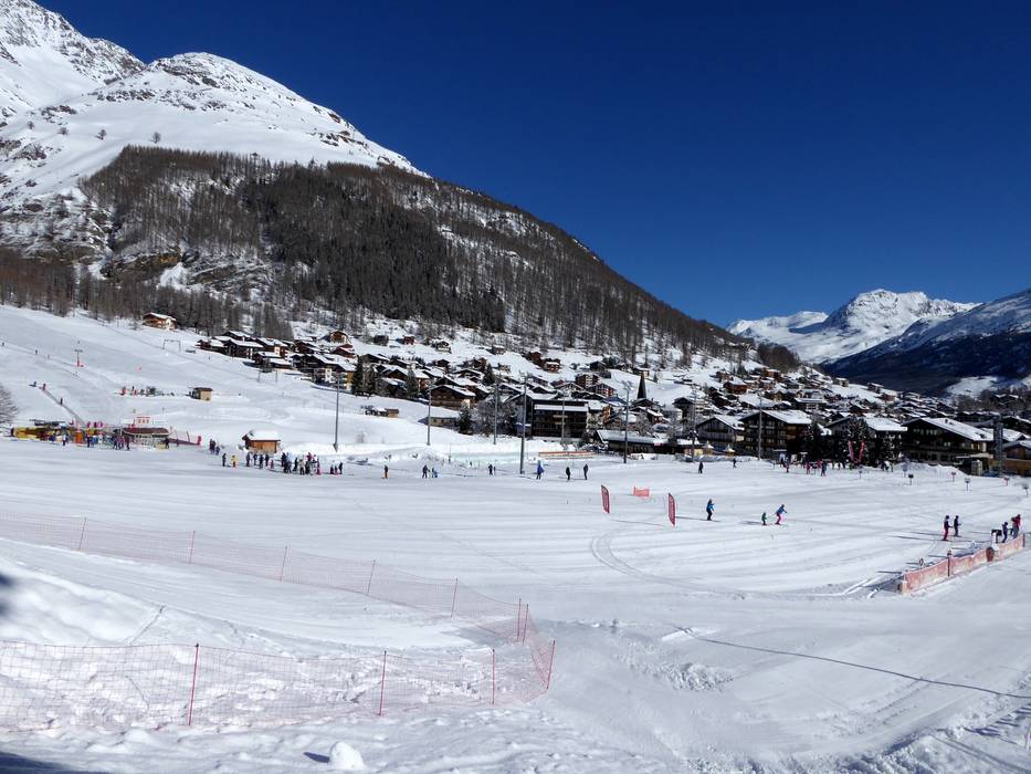
 Access to ski resort
  Town/village close to ski resort
  Traffic Junction
