Route planner
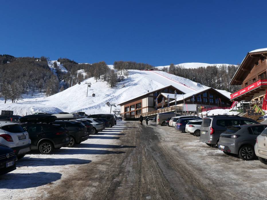
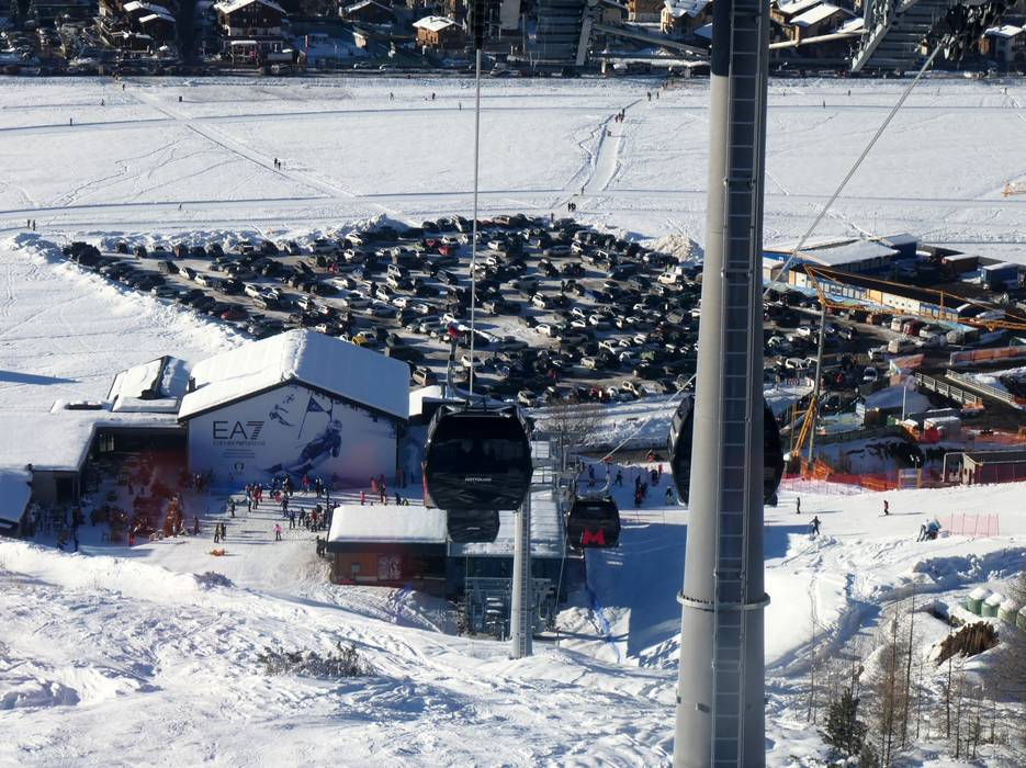
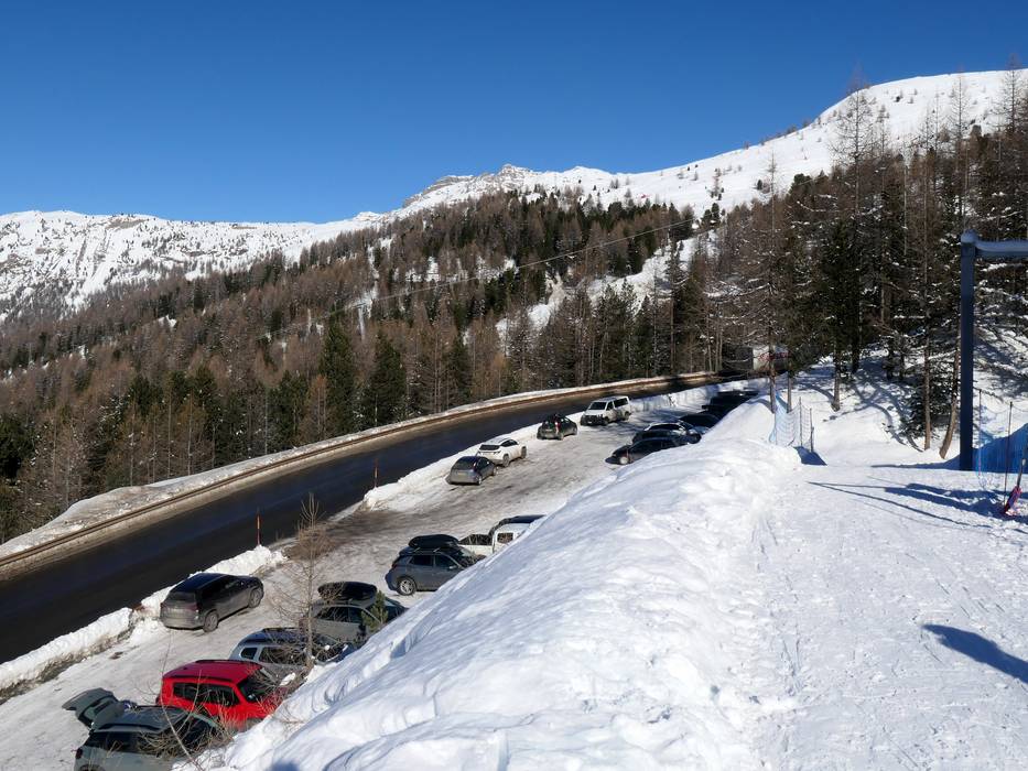
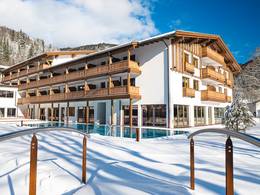
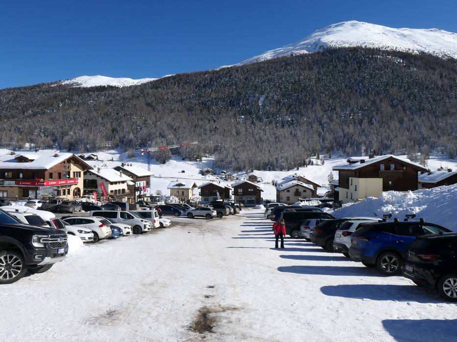
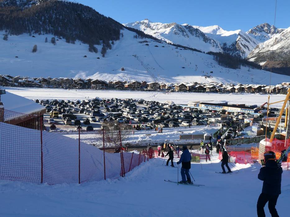
Access & on-site parking
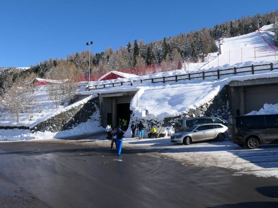
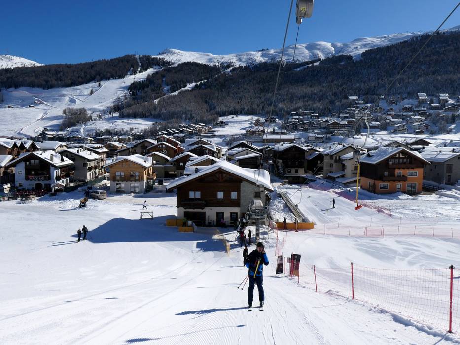
Livigno is located in the northeast of Lombardy. This Italian ski resort can only be reached from the north via Switzerland. Access is via the toll Munt la Schera road tunnel. The tunnel is single-lane, and traffic alternates in one direction at a time. On Saturdays in winter, special regulations apply and the direction is not changed for several hours. Please check for current information!
If you are coming from the south, the route is via Tirano, Bormio, and the Foscagno Pass (Passo di Foscagno). In winter, many mountain passes are closed, so these are the only two access routes.
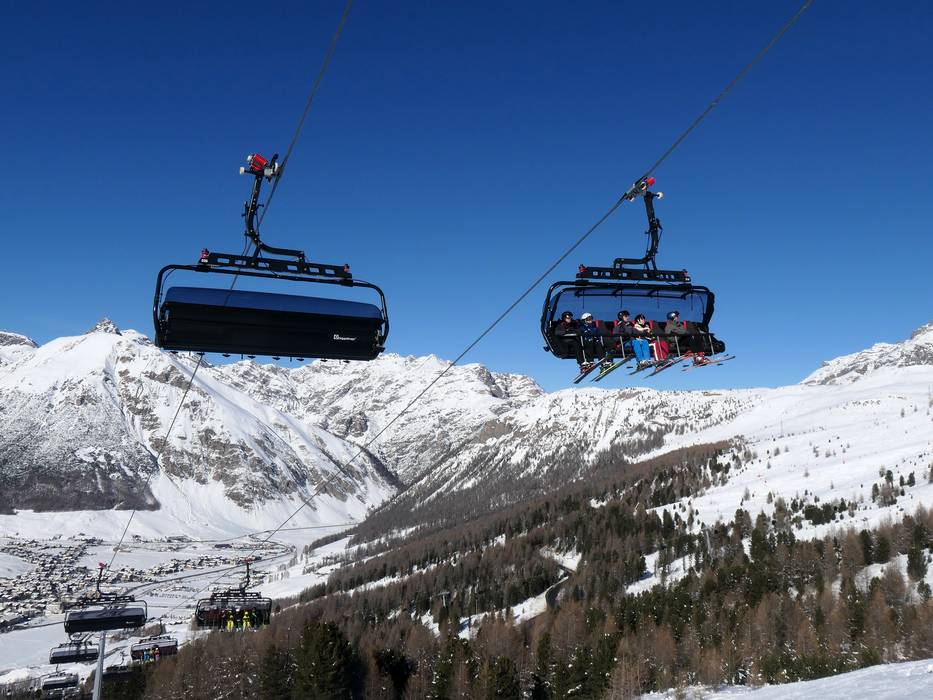
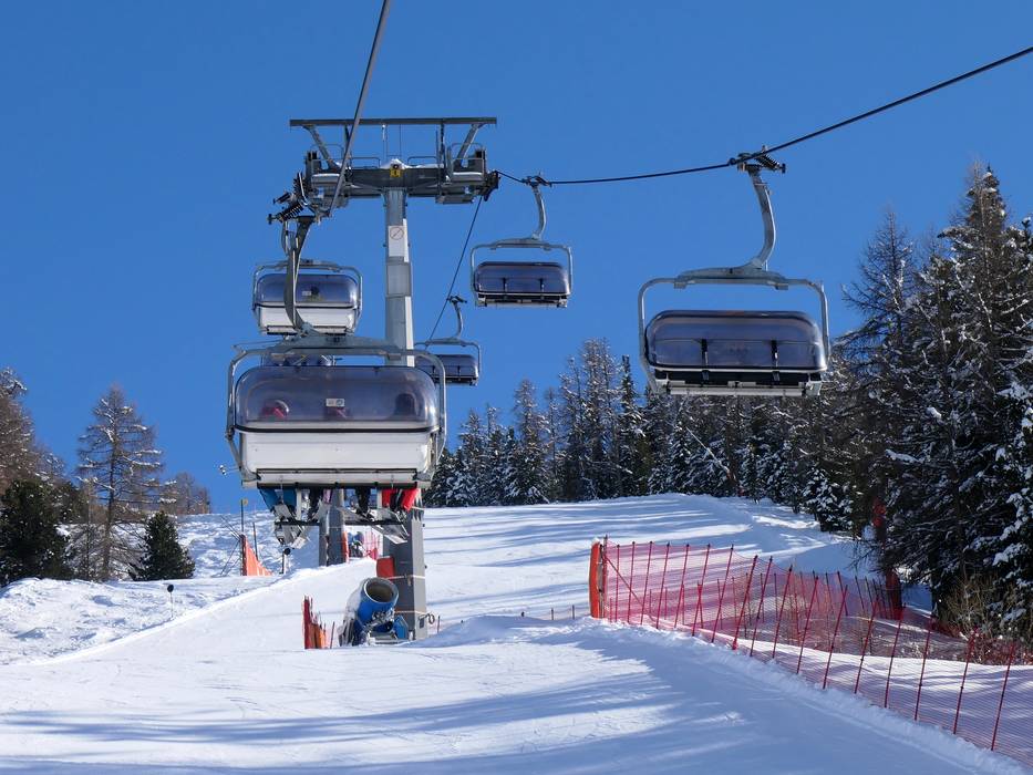
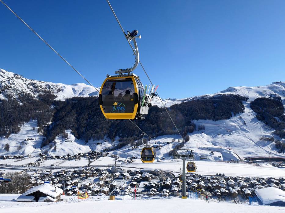
There are numerous free parking spaces for skiers at the lift stations.
Winter Closure
The Stelvio Pass (access from South Tyrol), the Forcola di Livigno/Passo del Bernina (access from Switzerland/St. Moritz), and the Gavia Pass (connection to Trentino) are closed for the winter. Due to Livigno's high alpine location, it is always advisable to check the current road conditions, as some nearby passes may also be closed at short notice.
Access via
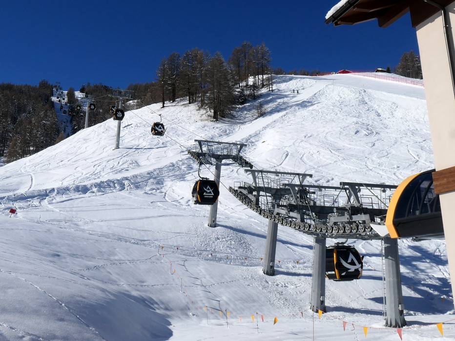
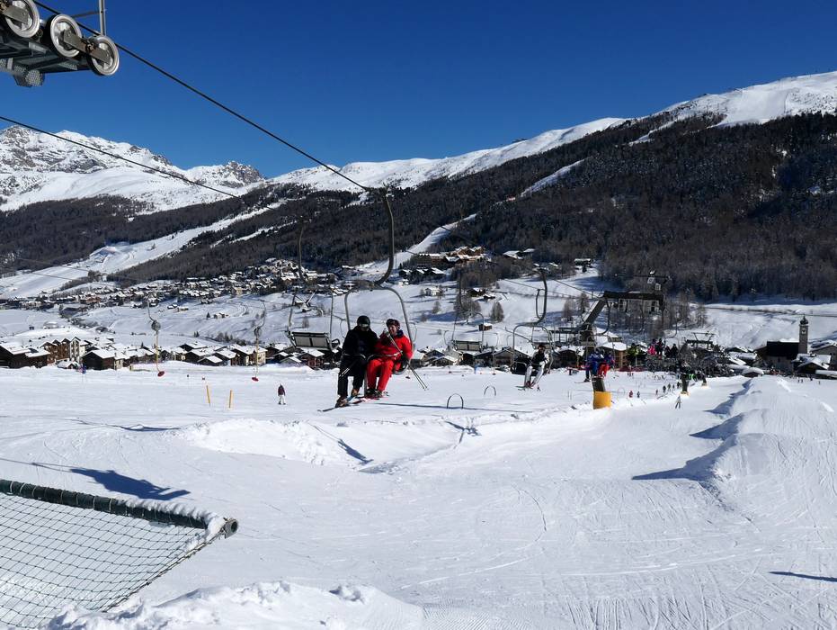
Mobility on-site
- Comprehensive ski bus network
- Scheduled buses
- Several free ski bus lines in Livigno and a shuttle bus between both mountain slopes
Access via A12 Inntal Motorway Innsbruck-Arlberg, exit Reschen (Oberinntal junction)
115 km Distance - approx. 118 Minutes driving time
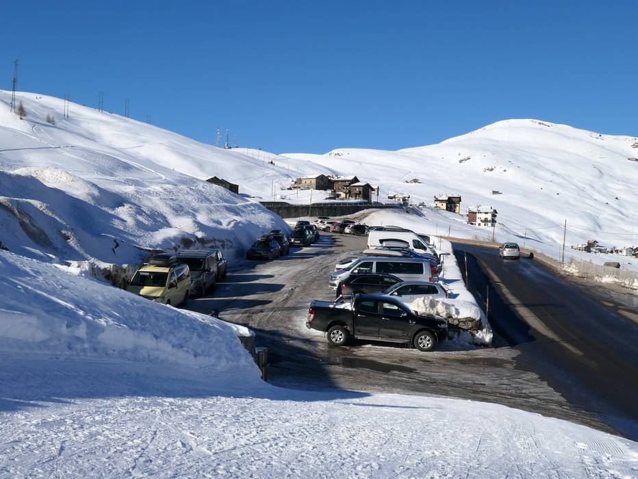
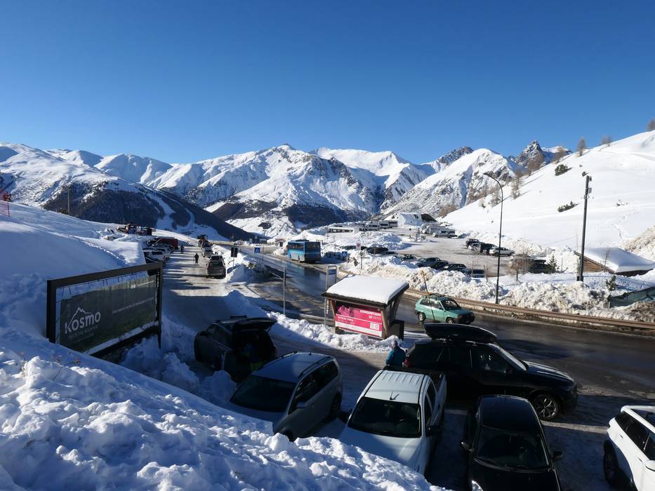
Destination Parking spaces - usually enough available, tarmac car park, gravel car park
- free of charge
Roads - Side road, Mountain road, Mountain pass road, with significant incline
- Snow chains often required by snowfall
- Road closure due to avalanches sometimes possible
Show route Access via Motorway A4 Milan-Verona, Brescia East exit
198 km Distance - approx. 210 Minutes driving time
Destination Parking spaces - usually enough available, tarmac car park, gravel car park
- free of charge
Roads - Side road, Mountain road, Mountain pass road, with significant incline
- Snow chains often required by snowfall
- Road closure due to avalanches sometimes possible
Show route Access via Expressway Merano-Bolzano (MeBo), Foresta/Forst exit
108 km Distance - approx. 121 Minutes driving time
Destination Parking spaces - usually enough available, tarmac car park, gravel car park
- free of charge
Roads - Side road, Mountain road, Mountain pass road, with significant incline
- Snow chains often required by snowfall
- Road closure due to avalanches sometimes possible
Show route Access via Motorway A13 St. Margrethen-Bellinzona, exit Landquart
93 km Distance - approx. 120 Minutes driving time
Destination Parking spaces - usually enough available, tarmac car park, gravel car park
- free of charge
Roads - Side road, Mountain road, with significant incline
- Snow chains often required by snowfall
- Road closure due to avalanches sometimes possible
Show route Access via Strada Statale 36, end of the motorway Colico/SS 38
139 km Distance - approx. 144 Minutes driving time
Destination Parking spaces - usually enough available, tarmac car park, gravel car park
- free of charge
Roads - Side road, Mountain road, Mountain pass road, with significant incline
- Snow chains often required by snowfall
- Road closure due to avalanches sometimes possible
Show route More Entry point(s) to the ski resort
Destination Parking spaces - usually enough available, tarmac car park, gravel car park
- free of charge
Destination Parking spaces - usually enough available, tarmac car park, gravel car park
- free of charge
Destination Parking spaces - usually enough available, tarmac car park, gravel car park
Destination Parking spaces - usually enough available, gravel car park
- free of charge
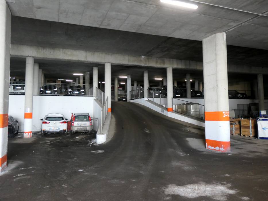
Destination Parking spaces - limited amount available, covered car park, tarmac car park
- free of charge
Destination Parking spaces
Destination Parking spaces
Destination Parking spaces 
Access to ski resort

Town/village close to ski resort

Traffic Junction
All information is supplied without guarantee
The maps are provided by Google with the following information: „These directions are for planning purposes only. You may find that construction projects, traffic, weather, or other events may cause conditions to differ from the map results, and you should plan your route accordingly. You must obey all signs or notices regarding your route.“
Please wait and do not close window. File will be transmitted.

