Orientation (Trail map, information boards, sign-postings) and safety in the ski resort Les Sybelles – Le Corbier/La Toussuire/Les Bottières/St Sorlin/St Jean d’Arves
Trail map and overview maps
Despite the immense size of the area, the piste map accurately reflects the topography, is very easy to read thanks to clear symbols, and is bilingual (English/French). However, it is somewhat inconvenient that the names of the lifts can only be identified using reference numbers in a legend. More detailed information about the restaurants would also be desirable: if you are looking for a restaurant by name, you will not find it on the piste map.
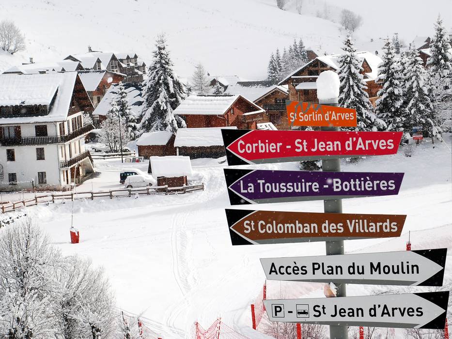
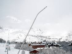
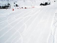
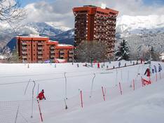
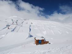
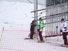
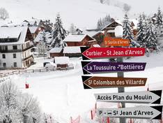
Information boards and sign-postings on the slopes
The signage in the ski area is very good and largely uniform. There are many signposts, and the marker poles along the slopes indicate not only the level of difficulty but also the slope name and descending numbers. This allows you to estimate the remaining distance at any time. Details about open slopes and lifts can be found at the lift stations for each zone. The large information boards installed at key points also provide real-time information on weather and snow conditions as well as events.