
Evaluated by Skiresort.info, the world's largest test portal for ski resorts.
The evaluation is done as follows
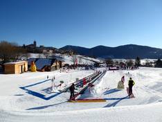
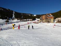
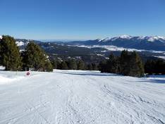
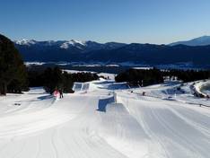
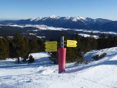
Orientation (Trail map, information boards, sign-postings) and safety in the ski resort Les Angles
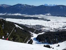
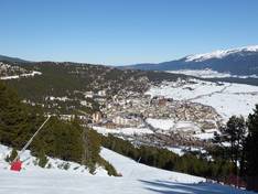
The slope map provides an excellent overview of the Les Angles ski area. Thanks to the division into individual sectors, it is easy to find your way around. All slopes and lifts are marked. Additional altitude information and more details about the lifts would be helpful. On the back, you will find more offers from Les Angles.
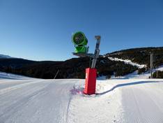
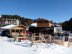
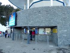
The signage in the Les Angles ski area is exemplary. All slopes are clearly marked in detail, and at the lift entrances you will find information about each facility, operating hours, and the slopes. Digital information on current operating conditions completes the offering.


Feedback for the Skiresort.info Team? Please use this form