

Evaluated by Skiresort.info, the world's largest test portal for ski resorts.
The evaluation is done as follows
Orientation (Trail map, information boards, sign-postings) and safety in the ski resort Lauchernalp – Lötschental
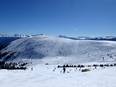
The slope map provides an excellent overview of the Lauchernalp ski area. All lifts and slopes are indicated. The dining options are marked without the names of the huts or restaurants. Additional information about winter hiking trails and cross-country ski tracks is also included. On the reverse side, you will find all the information for the summer season. Small cards with the cable car timetable are available at the ticket offices and in the hotels.
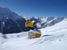
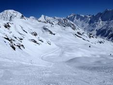
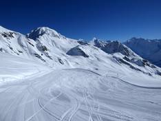
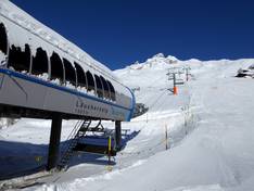
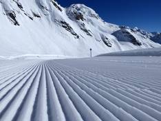
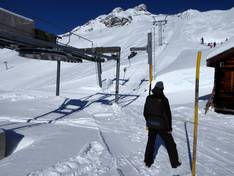
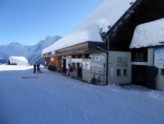
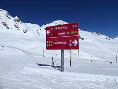
The slope boundaries are exemplary. Arrows clearly indicate where the slopes are located. Information boards with current status at the valley station help with orientation. Signage on the slopes could be improved. At Hockenhorngrat at 3,111 m, skiers enjoy panoramic maps with the names of the surrounding mountains.


Feedback for the Skiresort.info Team? Please use this form