
72 km Distance - approx. 78 Minutes driving time
Destination - Strada Provinciale 79, 38053 Castello Tesino, Italy
- Ideal entry for day visitors
- View on Google Maps
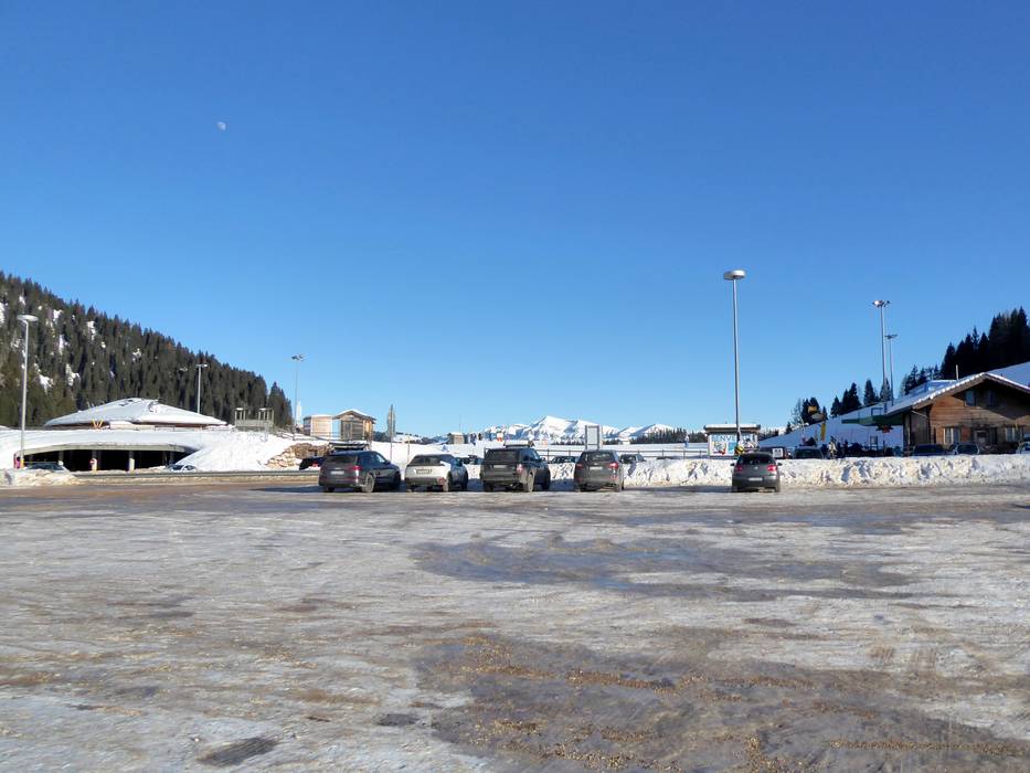
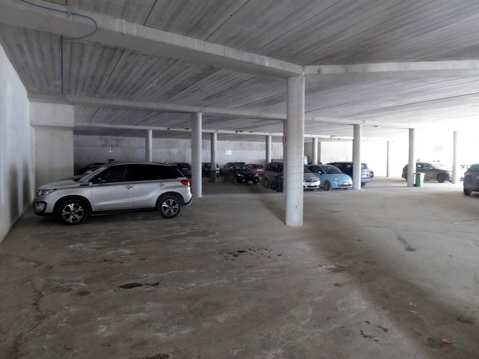
- enough available, underground car park, tarmac car park, gravel car park
- free of charge
- Main street, Side road, Mountain road, with significant incline
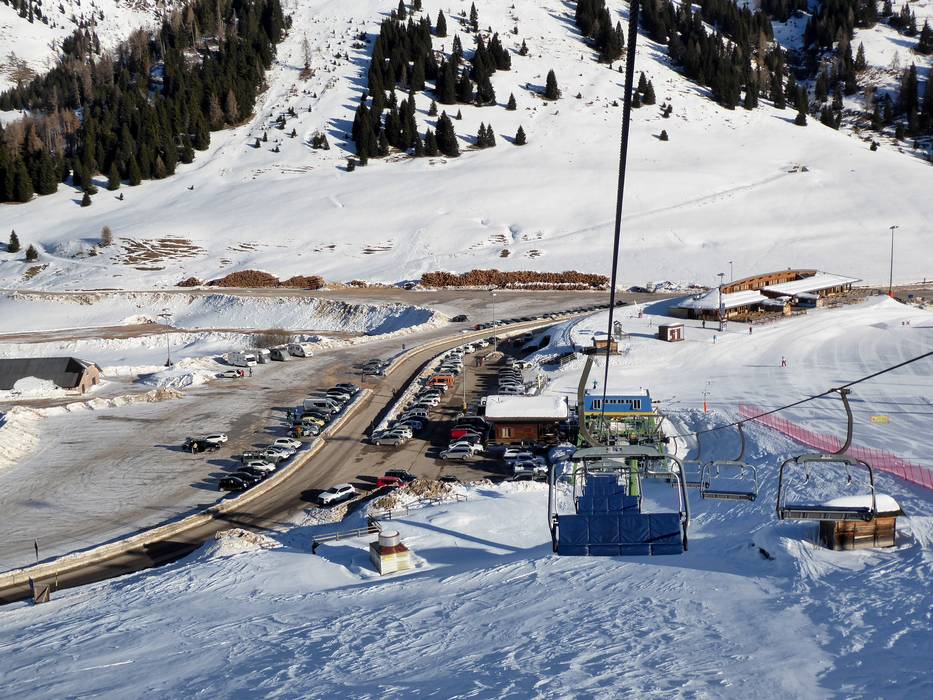
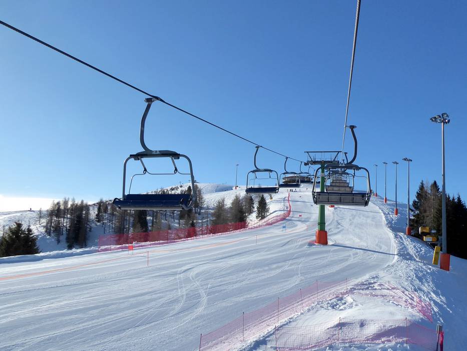
 Access to ski resort
  Town/village close to ski resort
  Traffic Junction