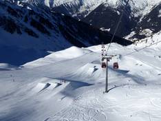
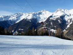
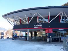
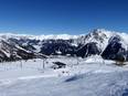
Orientation (Trail map, information boards, sign-postings) and safety in the ski resort Klausberg – Skiworld Ahrntal
Trail map and overview maps
The slope map provides an excellent overview of the entire Skiworld Ahrntal with all its ski areas. There is no longer a separate slope map for Klausberg. On the left side, the Klausberg ski area is clearly visible, and on the right side, the Speikboden ski area. All lifts, slopes, toboggan runs, and ski huts are marked. The individual lift facilities are described in detail. It would be desirable to have labels with the names of the individual slopes.
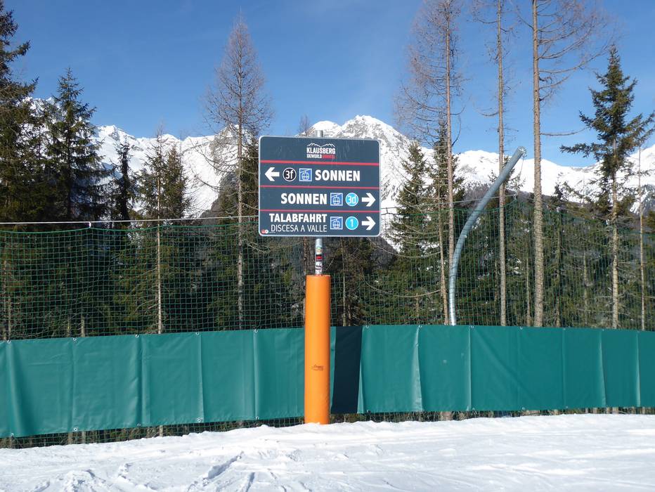
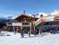
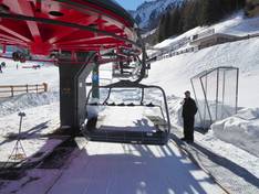
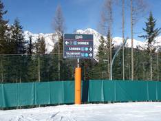
Information boards and sign-postings on the slopes
The signage on the slopes is very good. Signs are posted at every junction, and digital information is available at several lift entrances. At the valley station and the mountain station of the K-Express, you can find digital information about the current operational status. The facilities and markings are in a uniform design (red/black).
Trail map
Skiworld Ahrntal - Speikboden, Klausberg, Rein, Weißenbach Season 2025/2026