Test result
Evaluated by Skiresort.info, the world's largest test portal for ski resorts.
The evaluation is done as follows
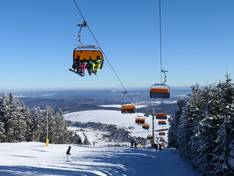
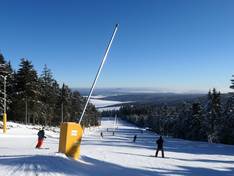
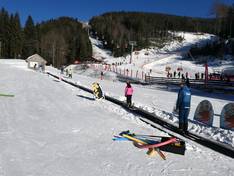
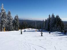
Orientation (Trail map, information boards, sign-postings) and safety in the ski resort Klínovec (Keilberg)
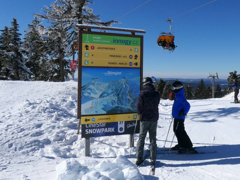
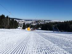
Trail map and overview maps
The piste map generally represents the ski area very well. However, some piste connections are not 100% clear. The straightforward connection via a short flat section at the top of Klínovec, as well as the existing tow path from Za Prahou to Neklid, could be added.
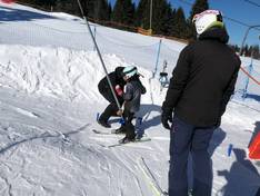
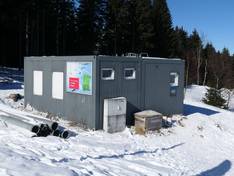
Information boards and sign-postings on the slopes
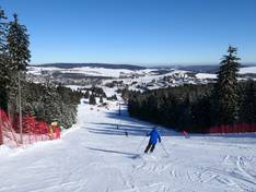
There are several large information boards in the ski area. The signposting and slope markings are good.
Trail map

InterSkiregion Fichtelberg-Klínovec-Neklid Season 2025/2026
Top Orientation


11 strengths of this ski resort


Feedback for the Skiresort.info Team? Please use this form
Select specific criteria
Top evaluation criteria
Further evaluation criteria
Orientation (trail map, information boards, sign-postings)
Evaluation criteria for special interests
Feedback for the Skiresort.info Team? Please use this form
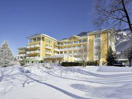
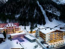
Book this ski resort
Test Reports
Tips for the ski holiday