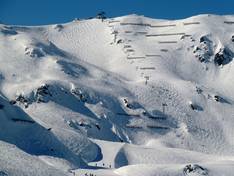
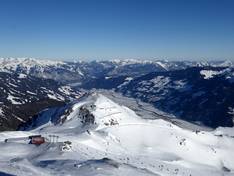
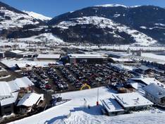
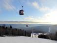
Orientation (Trail map, information boards, sign-postings) and safety in the ski resort Kaltenbach – Hochzillertal/Hochfügen (SKi-optimal)
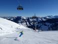
Trail map and overview maps
The piste map is exemplary. All lifts, cable cars, and slopes are easy to identify. The entire ski area is depicted. Restaurants and important points are highlighted. On the reverse side, you will find the whole Zillertal.
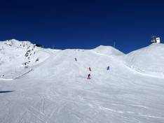
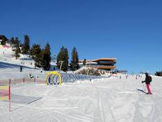
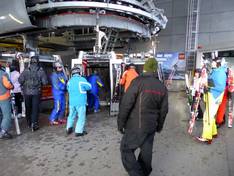
Information boards and sign-postings on the slopes
It is very easy to find your way around. The signage is clear and well-organized, as are the markings of the individual slopes. A traffic light system indicates whether a lift is open or closed.
Trail map
Kaltenbach – Hochzillertal/Hochfügen Season 2025/2026