
Evaluated by Skiresort.info, the world's largest test portal for ski resorts.
The evaluation is done as follows
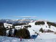
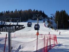
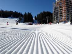
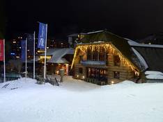
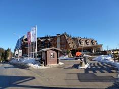
Orientation (Trail map, information boards, sign-postings) and safety in the ski resort Jahorina
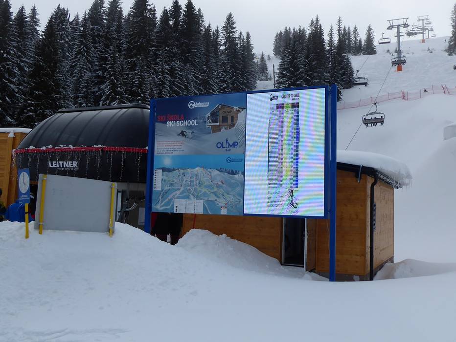
The slope map provides an excellent representation of the Olympic ski area Jahorina. All lifts and slopes are marked with numbers. The names of the slopes and additional altitude information would be helpful. On the reverse side, you will find further information about the ski area. The slope map is available in the local language as well as in English, making it easy for international guests to find their way around.
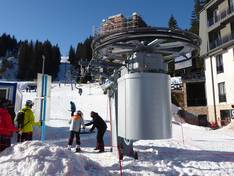
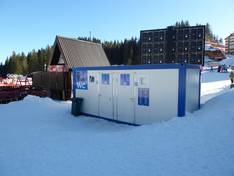
At the valley stations, you will find digital information about the current ski operations. All slopes are signposted and marked, making it easy to find your way around the Jahorina ski area.


Feedback for the Skiresort.info Team? Please use this form