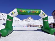
Orientation (Trail map, information boards, sign-postings) and safety in the ski resort Ischgl/Samnaun – Silvretta Arena
Trail map and overview maps
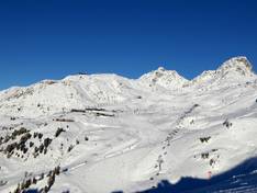
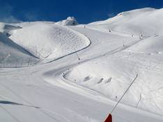
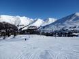
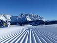
The slope map provides an excellent overview of the cross-border ski area of Ischgl and Samnaun. All slopes, lifts, altitude information, and restaurants are included. There is also a separate slope map for the Schmugglerrunden. In addition, you will find information about ski schools, events, hiking trails, toboggan runs, and ski pass prices. The entire Paznaun Valley is also featured with a slope map.
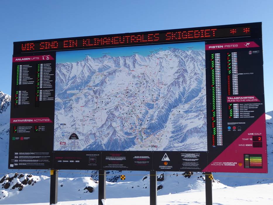
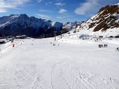
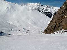
Information boards and sign-postings on the slopes
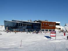
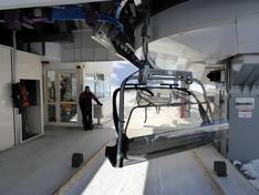
Throughout the entire ski area, there are uniform panoramic boards with 6-meter-long LED displays. The LED displays are highly visible from a distance in all weather conditions. Especially on days with changing weather and storms, guests can be quickly and effectively informed here. All slopes are signposted, making it easy to find your way around the ski area. For the 2016/17 season, over 100 locations were updated with the new slope guidance system. There are dedicated slope maps and signposts for the Schmugglerrunden. All lift facilities are uniformly labeled with technical data. There is an info point on the Idalp. If you have any questions, you can contact the staff there.