
Evaluated by Skiresort.info, the world's largest test portal for ski resorts.
The evaluation is done as follows
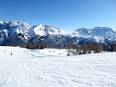
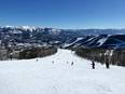
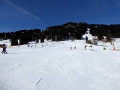
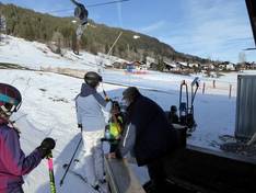
Orientation (Trail map, information boards, sign-postings) and safety in the ski resort Hörnerbahn – Bolsterlang
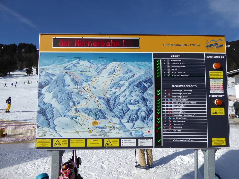
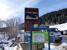
Trail map and overview maps
The trail map provides an excellent overview of the entire Bolsterlang ski area. All slopes and lifts are listed in detail. Ski huts and altitude information are also included. On the reverse side, you will find additional information about the ski area. The Ofterschwang/Gunzesried ski area is also included in the trail map.
Information boards and sign-postings on the slopes
At the valley stations, you will find large slope maps with up-to-date operating information. All slopes are marked with numbers, and at every junction you will find signposts.
Trail map

Hörnerbahn – Bolsterlang Season 2025/2026

Hörnerdörfer Season 2025/2026
11 strengths of this ski resort


Feedback for the Skiresort.info Team? Please use this form


Select specific criteria
Top evaluation criteria
Further evaluation criteria
Orientation (trail map, information boards, sign-postings)
Evaluation criteria for special interests
Feedback for the Skiresort.info Team? Please use this form