
Evaluated by Skiresort.info, the world's largest test portal for ski resorts.
The evaluation is done as follows
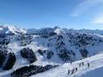
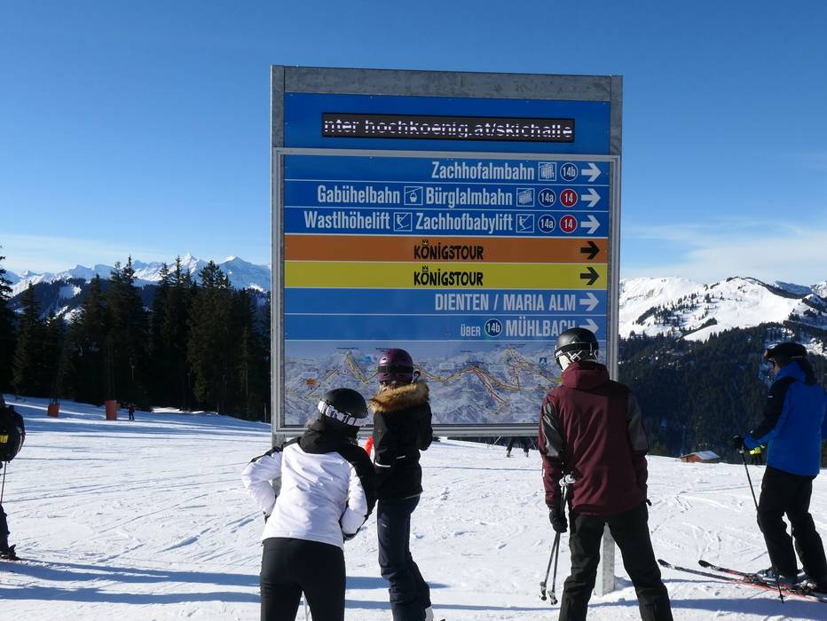
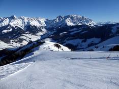
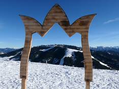
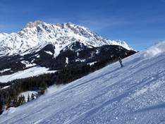
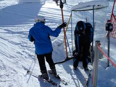
Orientation (Trail map, information boards, sign-postings) and safety in the ski resort Hochkönig – Maria Alm/Dienten/Mühlbach
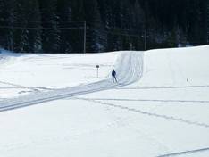
The slope map provides an excellent overview of the ski area from Mühlbach through Dienten to Maria Alm. The lifts at Hochkeil and Hinterreit are also included. The Königstour is very well represented. You can find all the information about the lifts, ski pass prices, and further details. It would be desirable to have more altitude information and more details about the individual slopes.
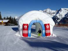
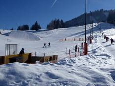
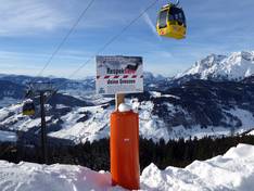
The signage on the slopes is very good. There are plenty of information boards, the slopes are numbered and appropriately signposted. There are also signs at junctions. The Königstour is optimally signposted.


Feedback for the Skiresort.info Team? Please use this form