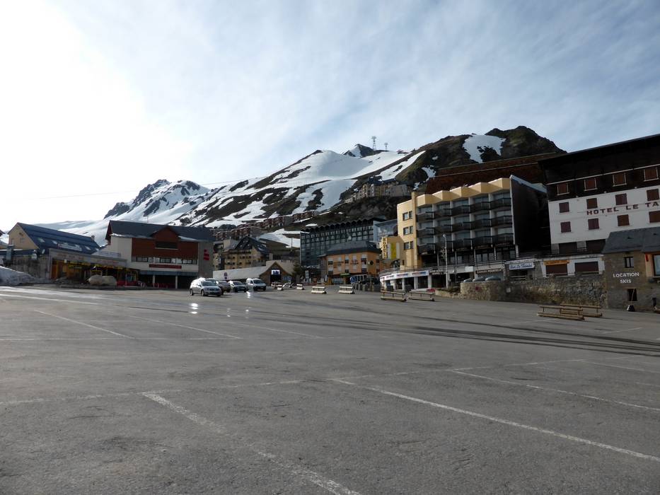
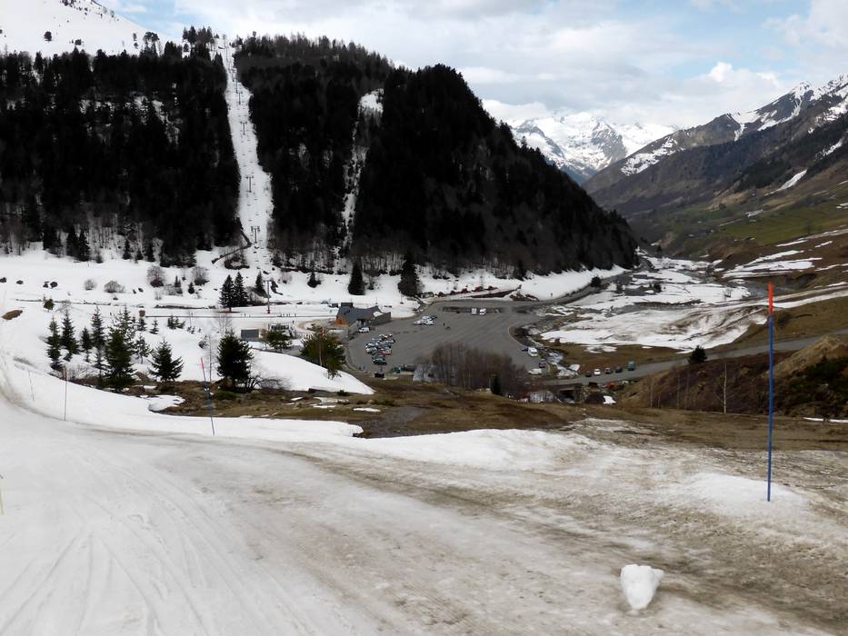
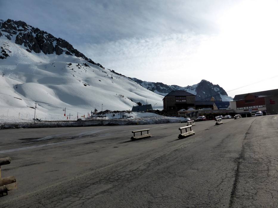
40 km Distance - approx. 45 Minutes driving time
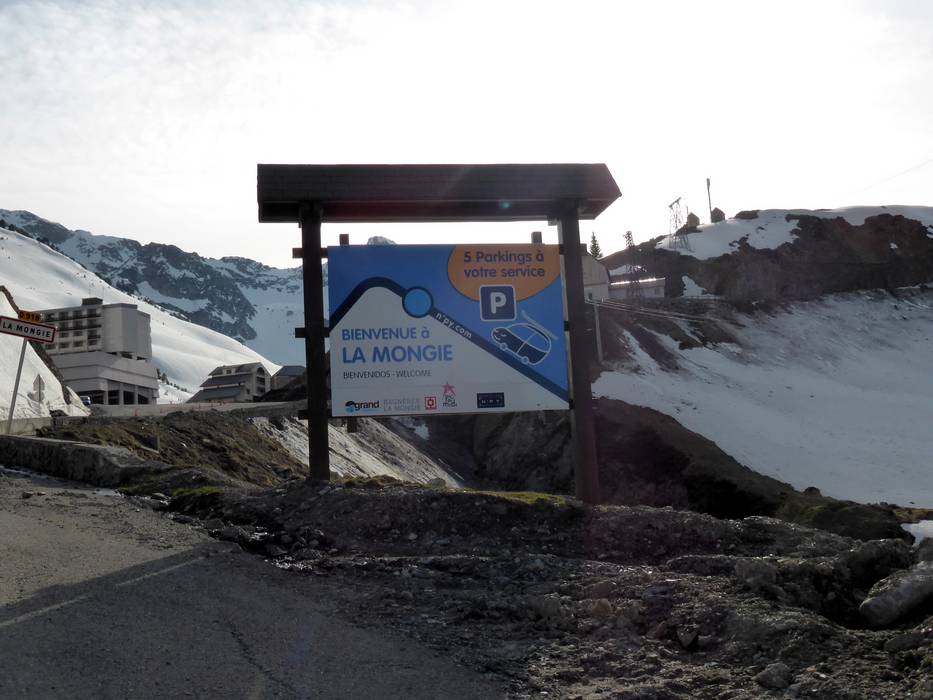
Destination - Boulevard du Pic du Midi, 65200 La Mongie 1800 m/Bagnères-de-Bigorre, France
- Ideal entry for day visitors
- View on Google Maps
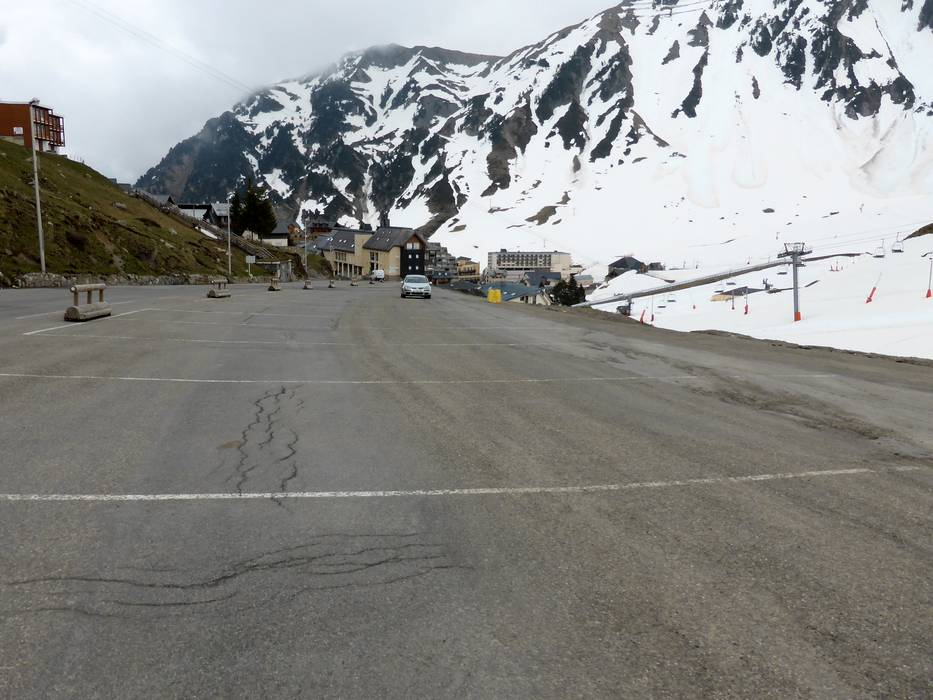
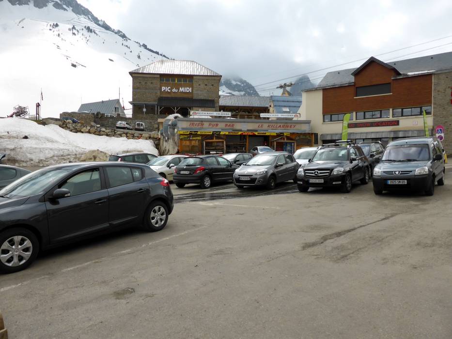
- usually enough available, tarmac car park, gravel car park
- free of charge
- Main street, Side road, Mountain road, well-developed, with significant incline
- Snow chains often required by snowfall
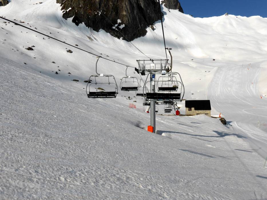
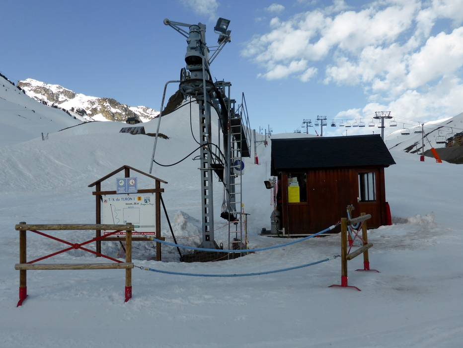
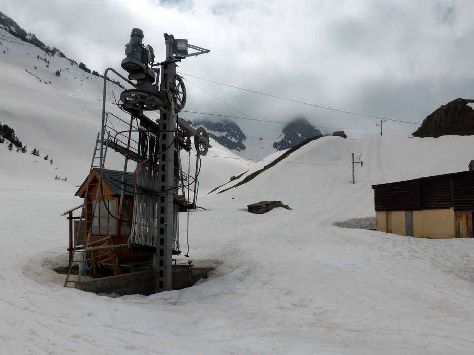
 Access to ski resort
  Town/village close to ski resort
  Traffic Junction
