
96 km Distance - approx. 91 Minutes driving time
Destination - Hegnavegen 81, 3580 Geilo, Norway
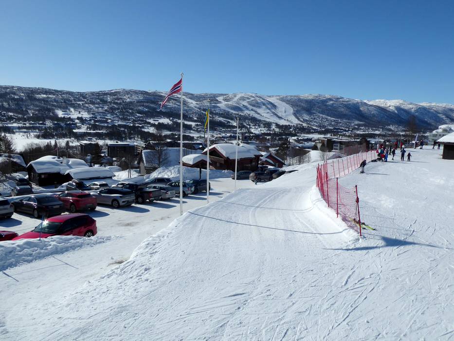
- Ideal entry for day visitors
- View on Google Maps
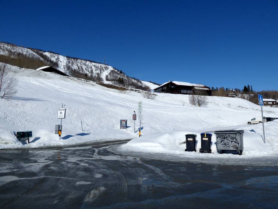
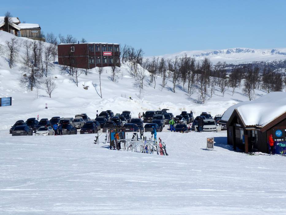
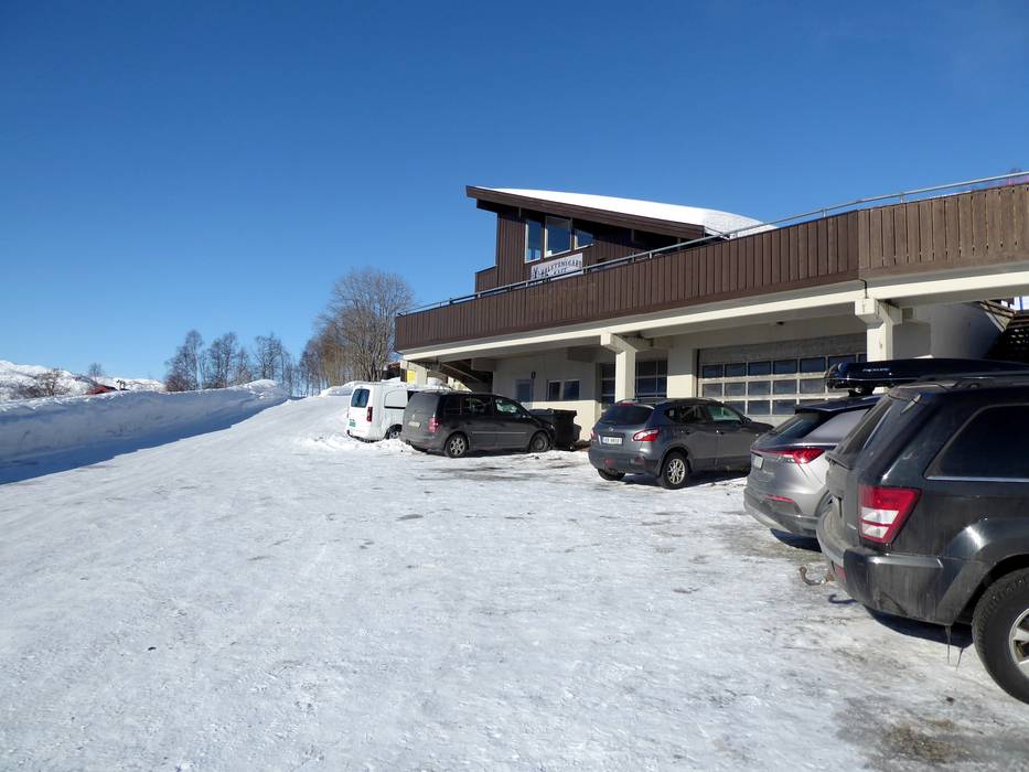
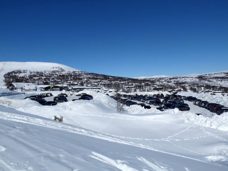
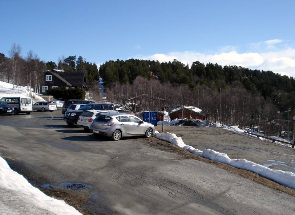
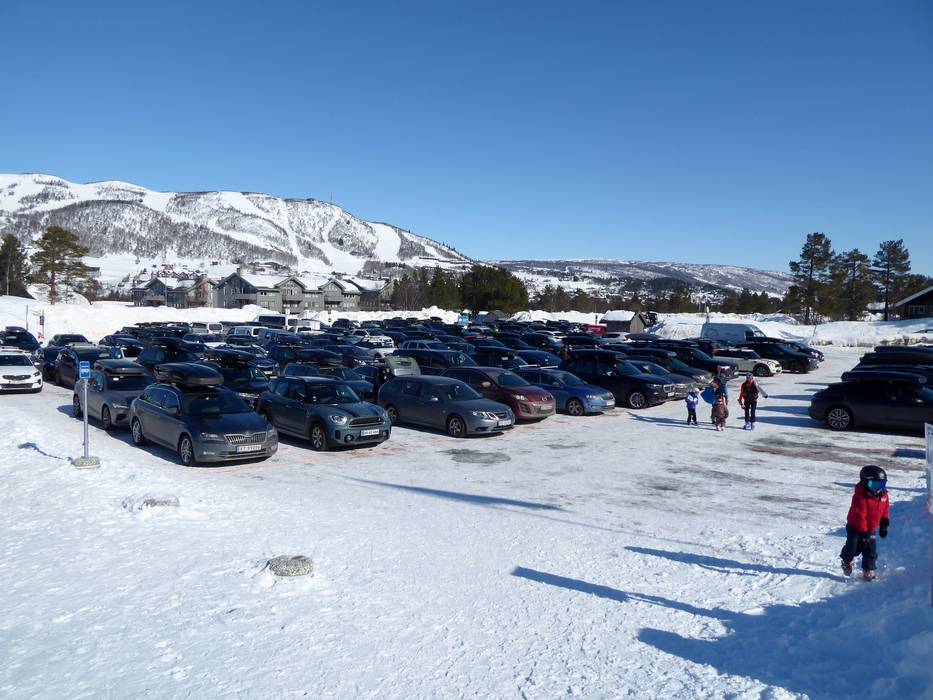
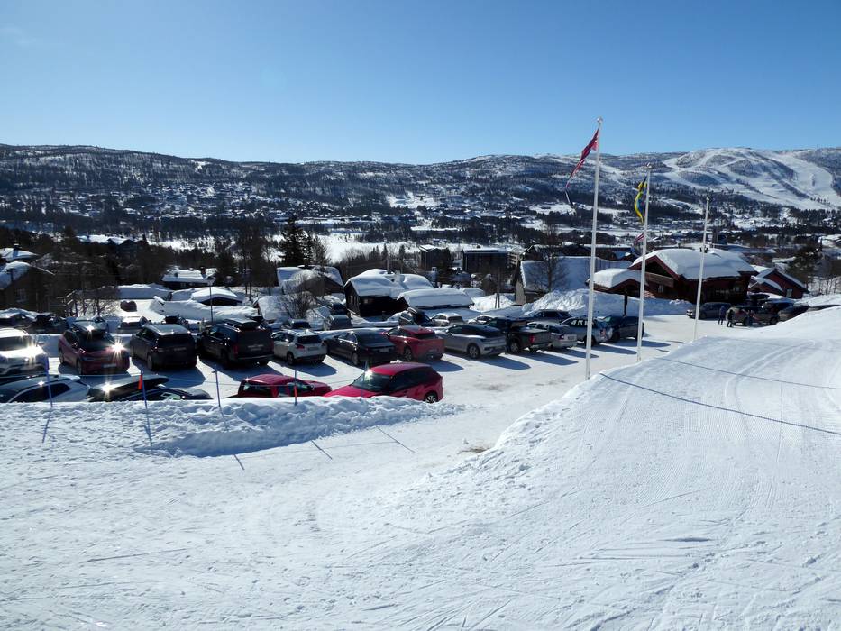
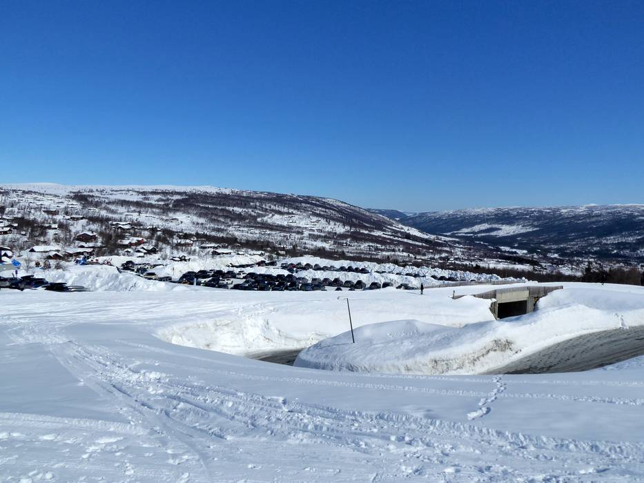
- usually enough available, tarmac car park, gravel car park
- for a fee
- Main street, well-developed
- Snow chains sometimes required by snowfall
- Road closure due to avalanches extremely unlikely
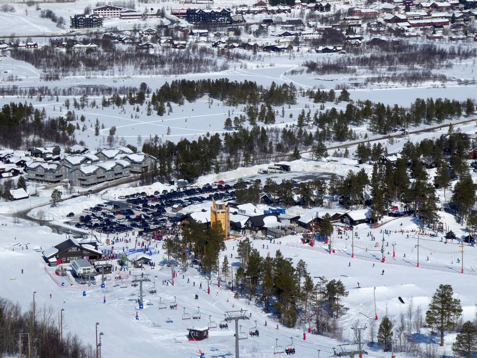
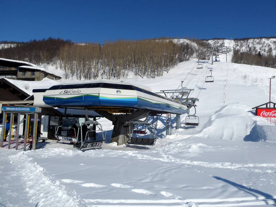
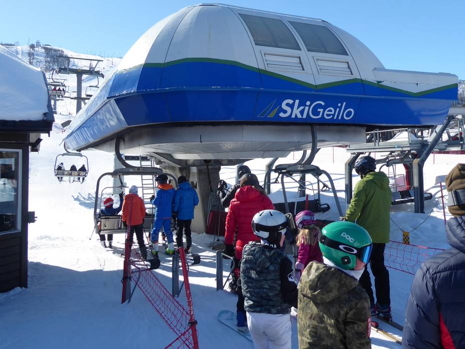
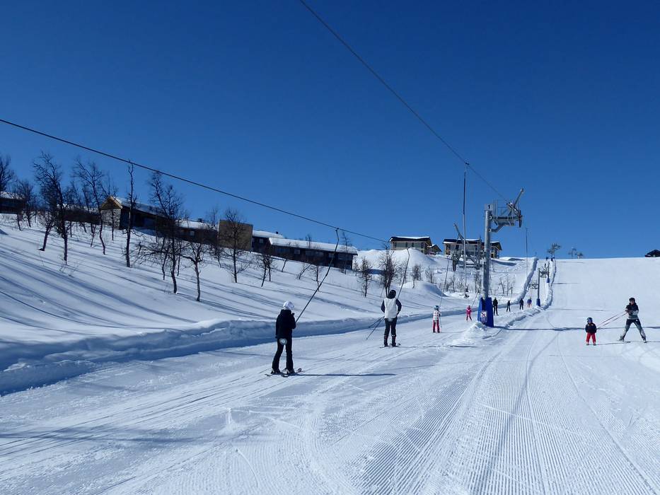
 Access to ski resort
  Town/village close to ski resort
  Traffic Junction

