
41 km Distance - approx. 41 Minutes driving time
Destination - Feldberg-Fahl, B317, 79674 Todtnau-Fahl, Germany
- Entry suitable for day visitors
- View on Google Maps
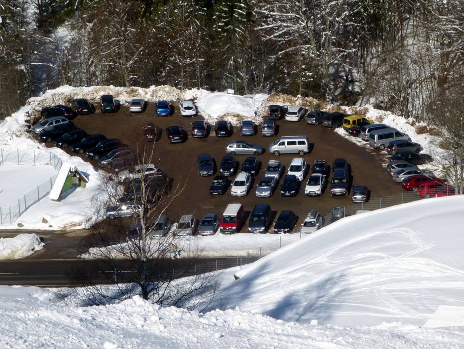
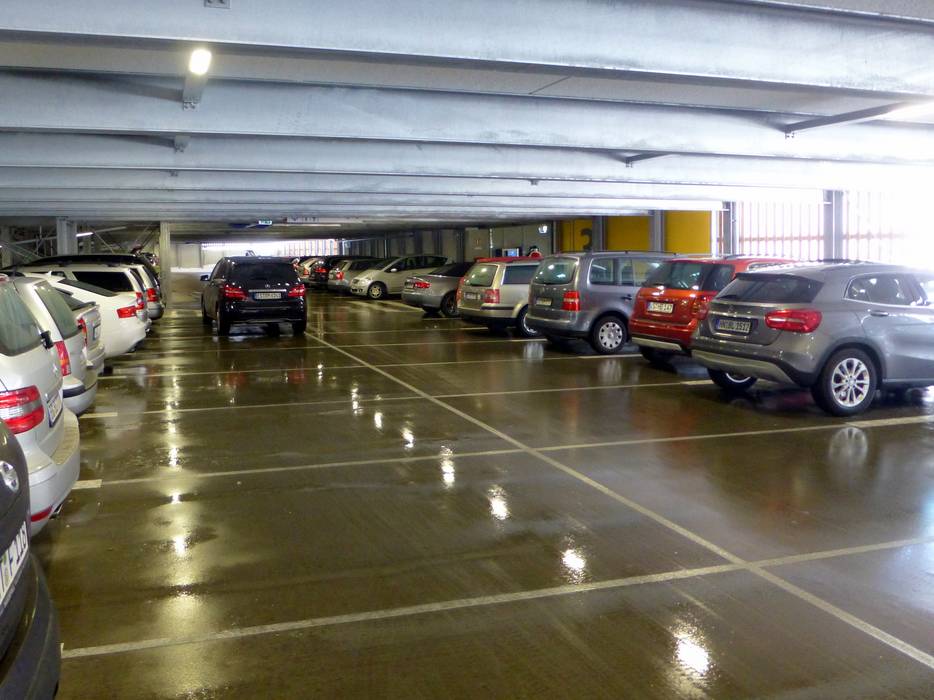
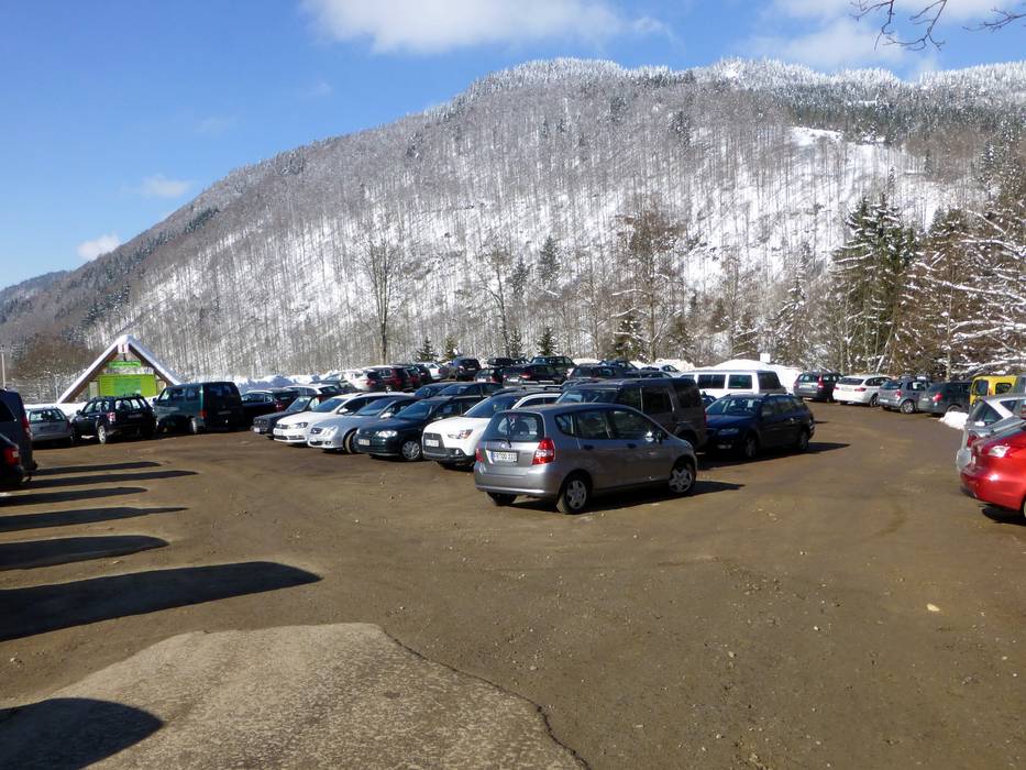
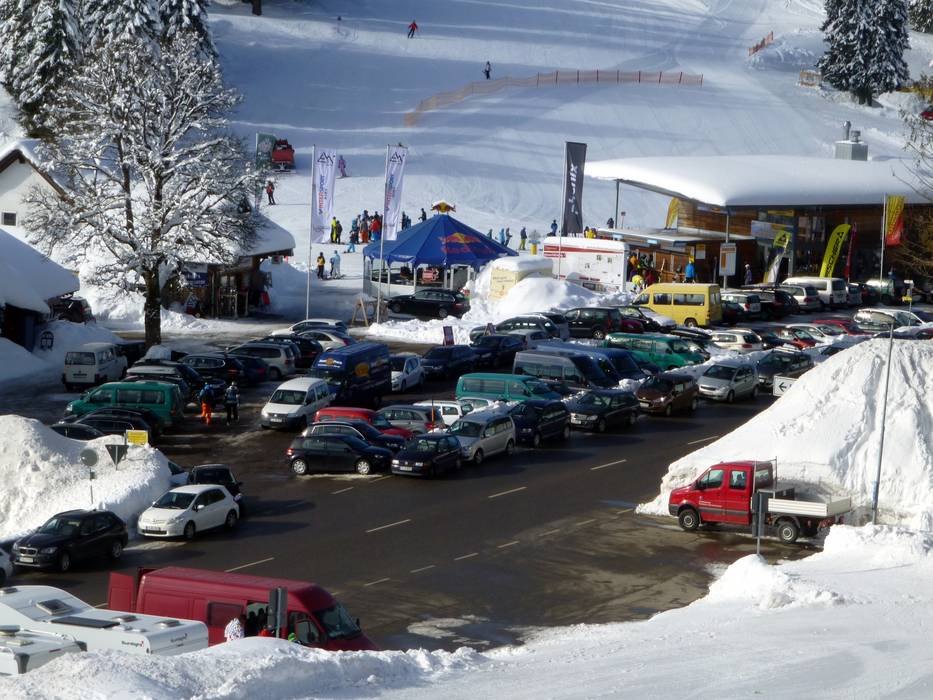
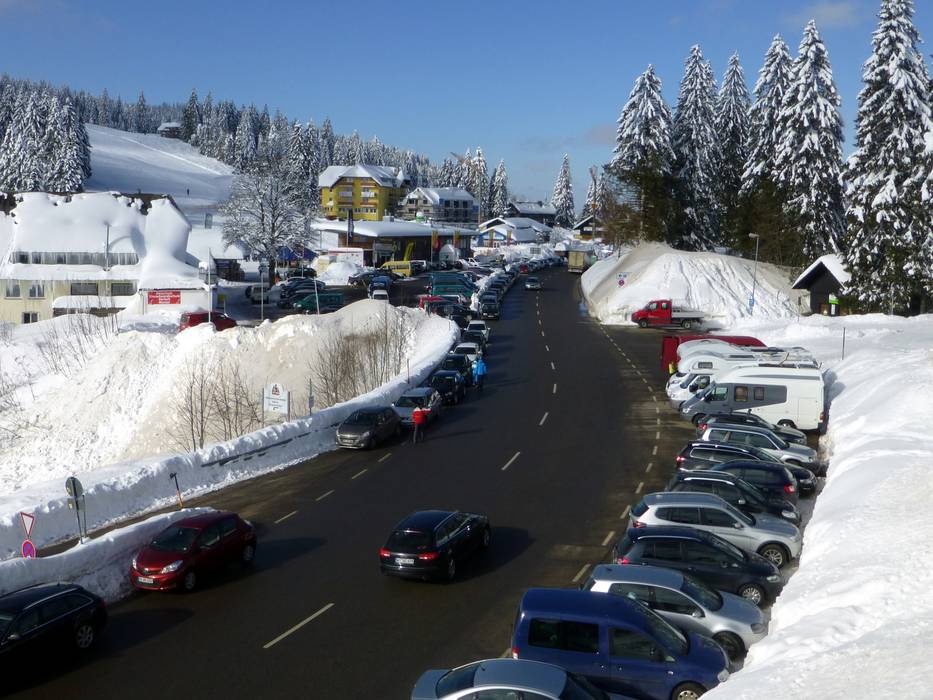
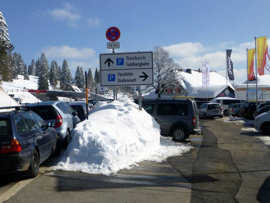
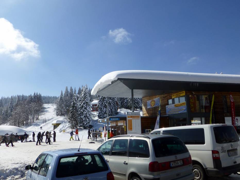
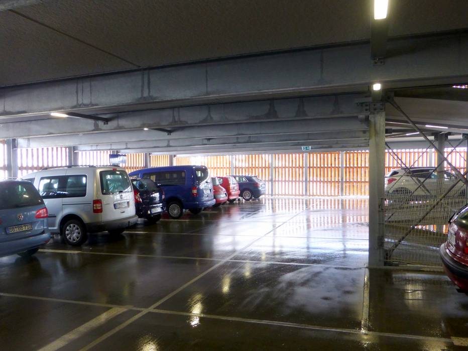
- limited amount available, tarmac car park
- free of charge
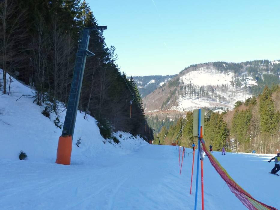
- Highway, Main street, Side road, well-developed, with significant incline
- Snow chains almost never required by snowfall
- No chance of road closure due to avalanches

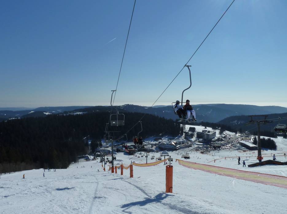
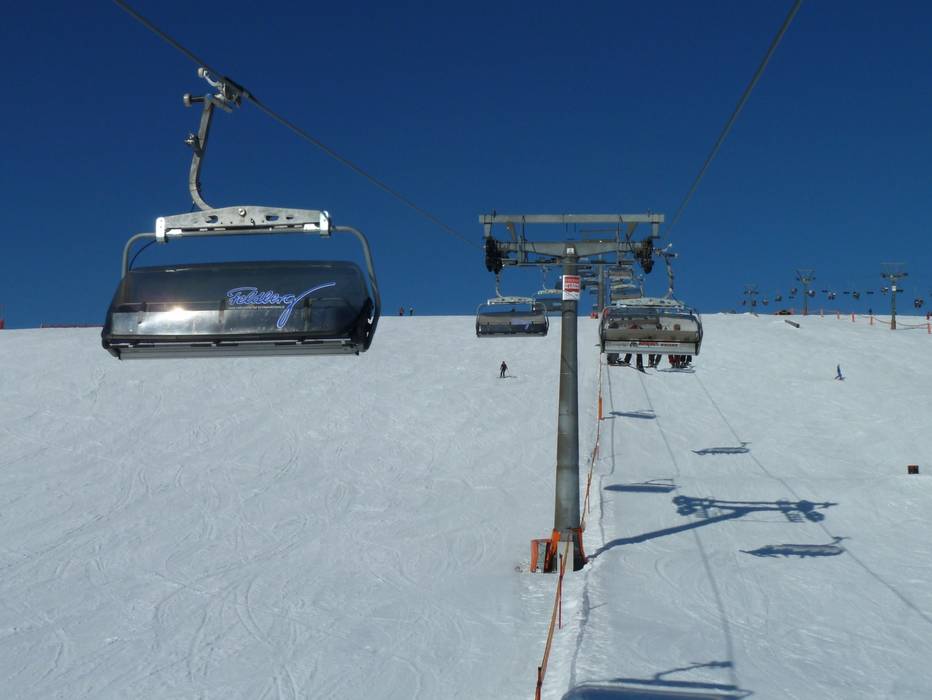
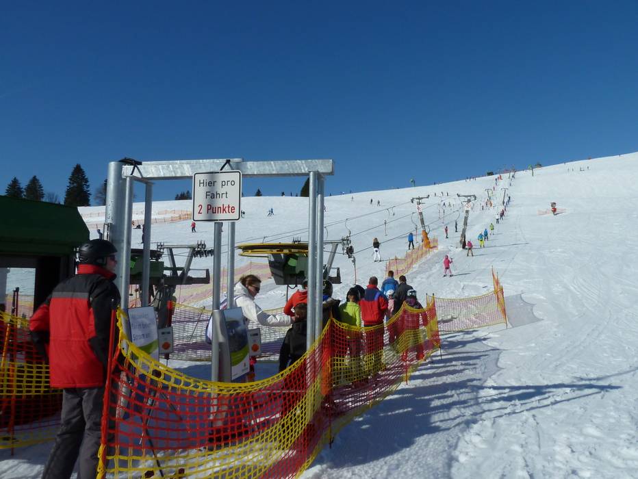
 Access to ski resort
  Town/village close to ski resort
  Traffic Junction
