
15 km Distance - approx. 15 Minutes driving time
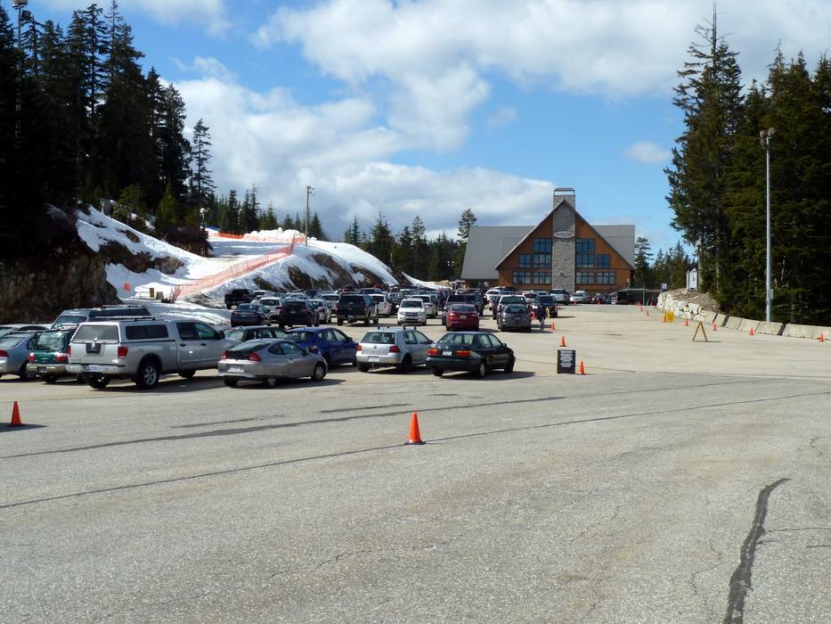
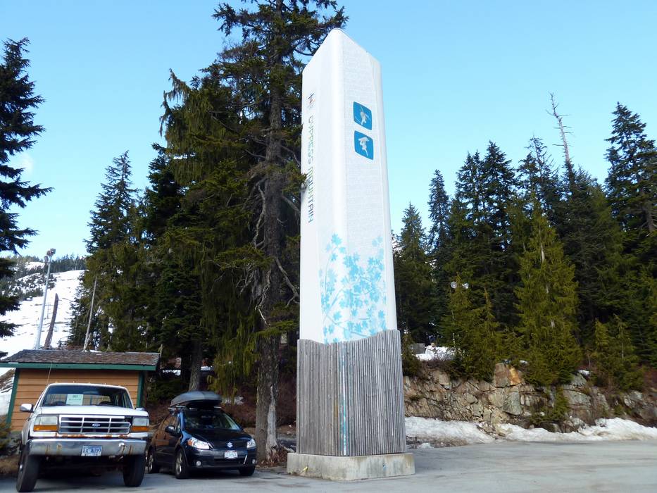
Destination - Top of Cypress Bowl Road, Cypress Provincial Park, V7V 3N9 West Vancouver, Canada
- Ideal entry for day visitors
- View on Google Maps
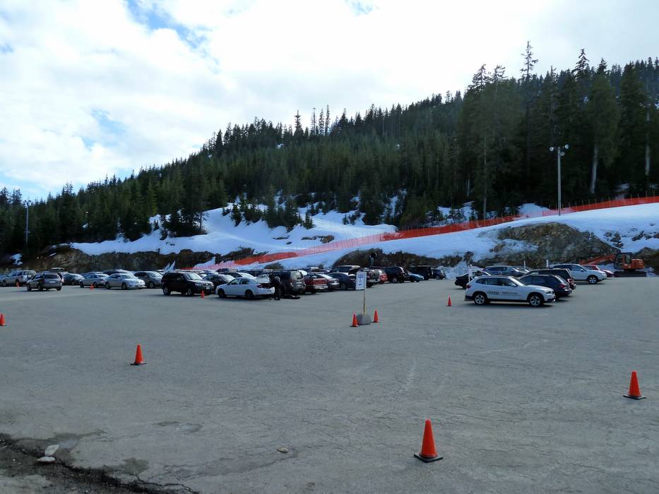
- enough available, tarmac car park, gravel car park
- free of charge
- Mountain road, well-developed, with significant incline
- Snow chains often required by snowfall
- Road closure due to avalanches sometimes possible
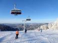
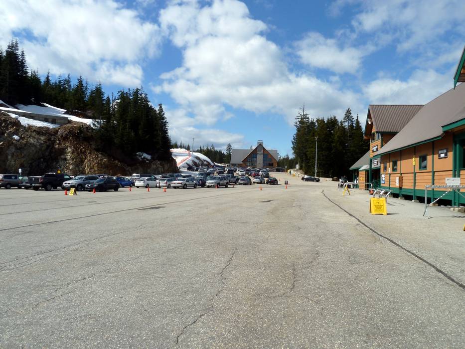
 Access to ski resort
  Town/village close to ski resort
  Traffic Junction
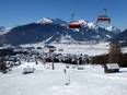