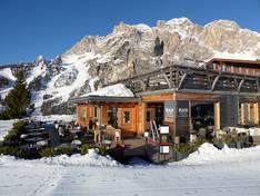
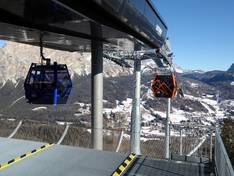
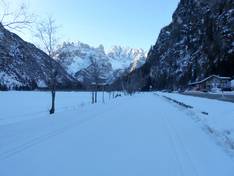
Orientation (Trail map, information boards, sign-postings) and safety in the ski resort Cortina d'Ampezzo
Trail map and overview maps
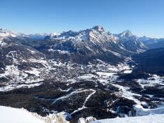
The piste map provides an excellent overview of the ski area around Cortina d'Ampezzo. All lifts, cable cars, and pistes are marked with numbers. Elevation details, mountain huts, and passes are also indicated. Additionally, the ski areas of Auronzo di Cadore, Misurina, and San Vito di Cadore are included as well.
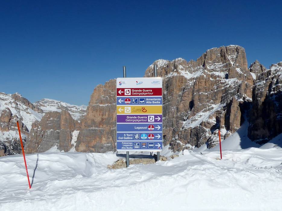
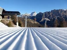
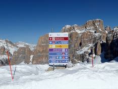
Information boards and sign-postings on the slopes
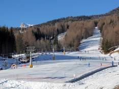
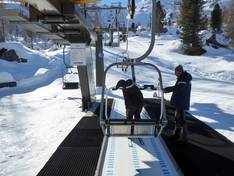
It is easy to find your way around the ski area. However, information about open lifts and slopes is always very regional. It would be desirable to have information at the main points in the ski area about operations in all sub-areas of Cortina d'Ampezzo. All slopes are very well marked and signposted. At the entrances to the individual lifts, you will find further information.