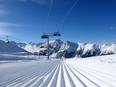
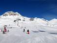
Orientation (Trail map, information boards, sign-postings) and safety in the ski resort Černá hora – Janské Lázně
Trail map and overview maps
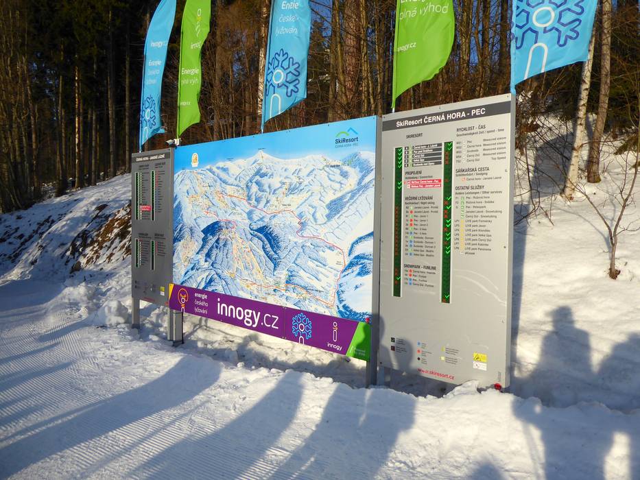
The slope map provides an excellent overview of the ski areas in the Černá hora-Pec region with all relevant information. Additional information about extra activities and the SkiTour is also included. On the reverse side, you will find the prices and all ski bus lines with detailed timetables.
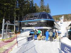
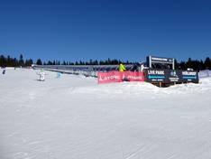
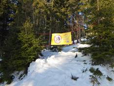
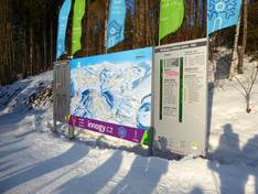
Information boards and sign-postings on the slopes
At the valley stations, you will usually find detailed information boards with a piste map and current operating information. The slopes are marked with signs at important points. This makes it very easy to find your way around the ski area. The information is also provided in other languages, such as German, English, and Polish. This makes orientation easy to understand for international guests.