
Evaluated by Skiresort.info, the world's largest test portal for ski resorts.
The evaluation is done as follows
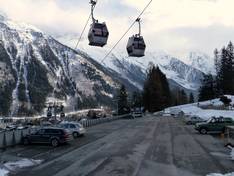
Orientation (Trail map, information boards, sign-postings) and safety in the ski resort Brévent/Flégère (Chamonix)
Trail map and overview maps
The piste map of the Brévent-Flégère ski area is combined with all the other ski areas of Chamonix in a small brochure. There you will find further information for each of the ski areas. The only disadvantage is that the piste maps are printed rather small.
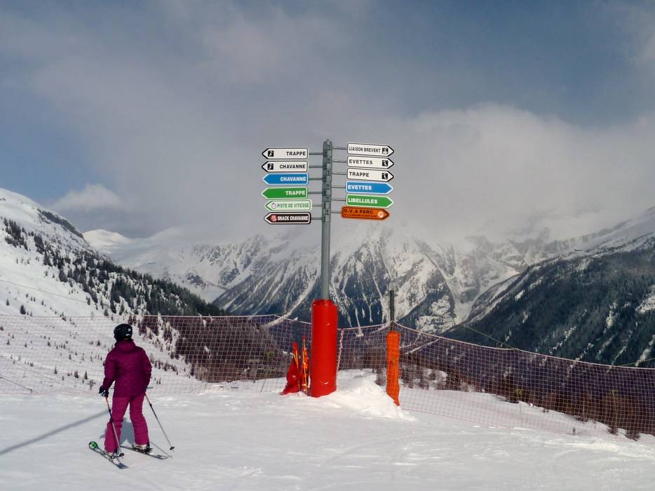
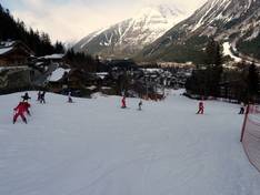
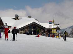
Information boards and sign-postings on the slopes
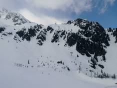
The signage on the slopes is very good and hazards are secured. At important stations, you will find slope maps and information about operational status. Warnings about the dangers of freeriding are posted everywhere.
Trail map

Brévent/Flégère Season 2025/2026

Vallée de Chamonix Season 2025/2026
Top Orientation


9 strengths of this ski resort


Feedback for the Skiresort.info Team? Please use this form

Select specific criteria
Top evaluation criteria
Further evaluation criteria
Orientation (trail map, information boards, sign-postings)
Evaluation criteria for special interests
Feedback for the Skiresort.info Team? Please use this form
Test Reports
Tips for the ski holiday