
21 km Distance - approx. 26 Minutes driving time
Destination - OA9, 87538 Balderschwang, Germany
- Ideal entry for day visitors
- View on Google Maps
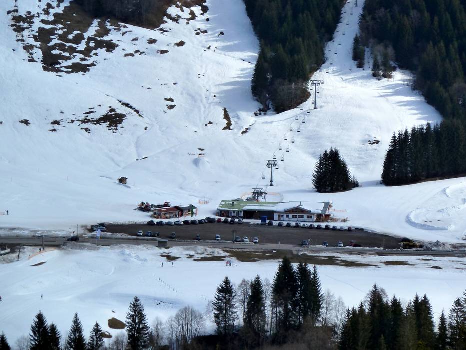
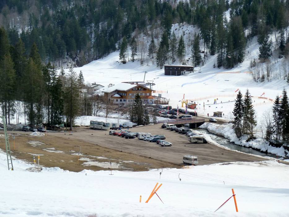
- usually enough available, gravel car park
- for a fee
- When you purchase a lift ticket, the parking fee will be refunded.
- Side road, Mountain road, with significant incline
- Snow chains often required by snowfall
- Road closure due to avalanches often possible
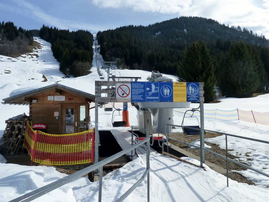
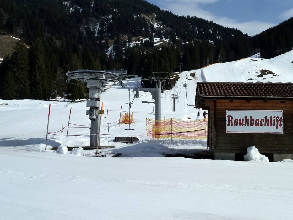
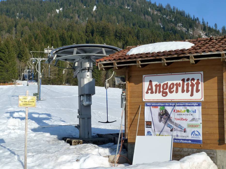
 Access to ski resort
  Town/village close to ski resort
  Traffic Junction

