44 km Distance - approx. 60 Minutes driving time
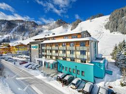
Destination - Località Ronchi, 38055 Moena, Italy
- Entry suitable for day visitors
- View on Google Maps
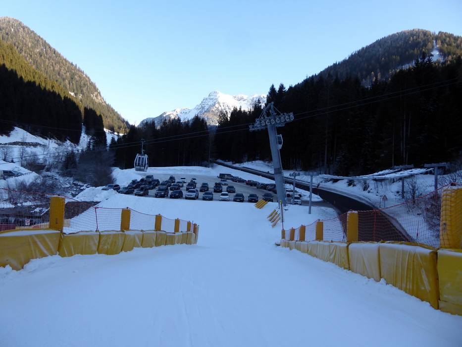
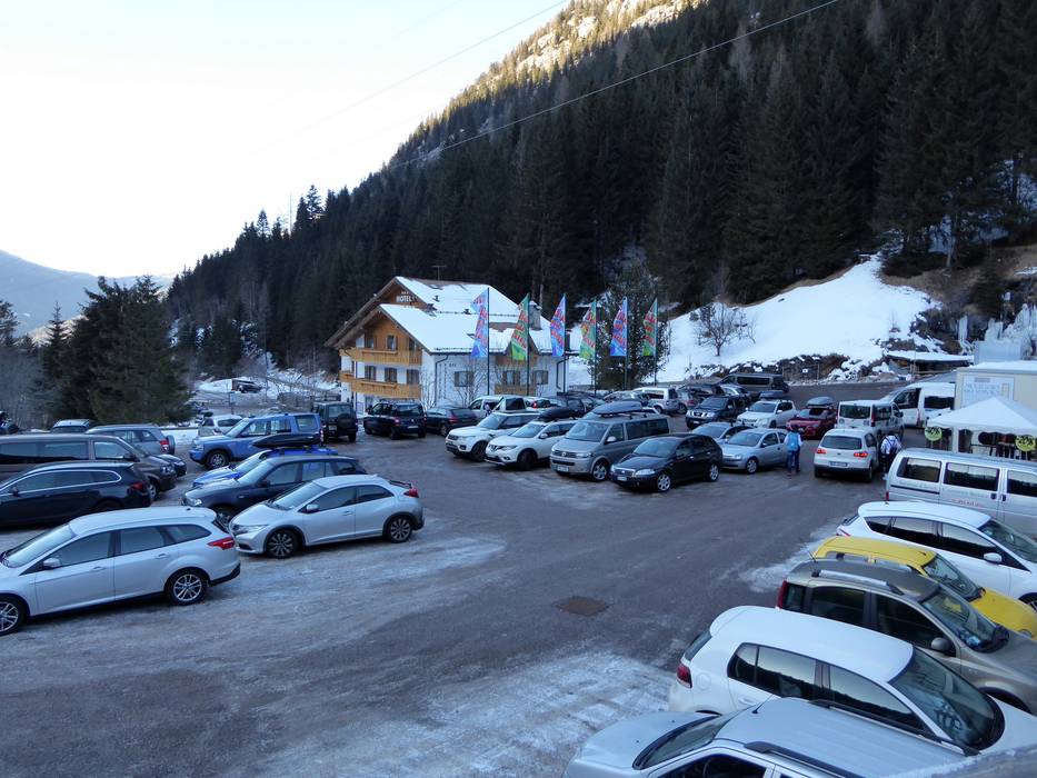
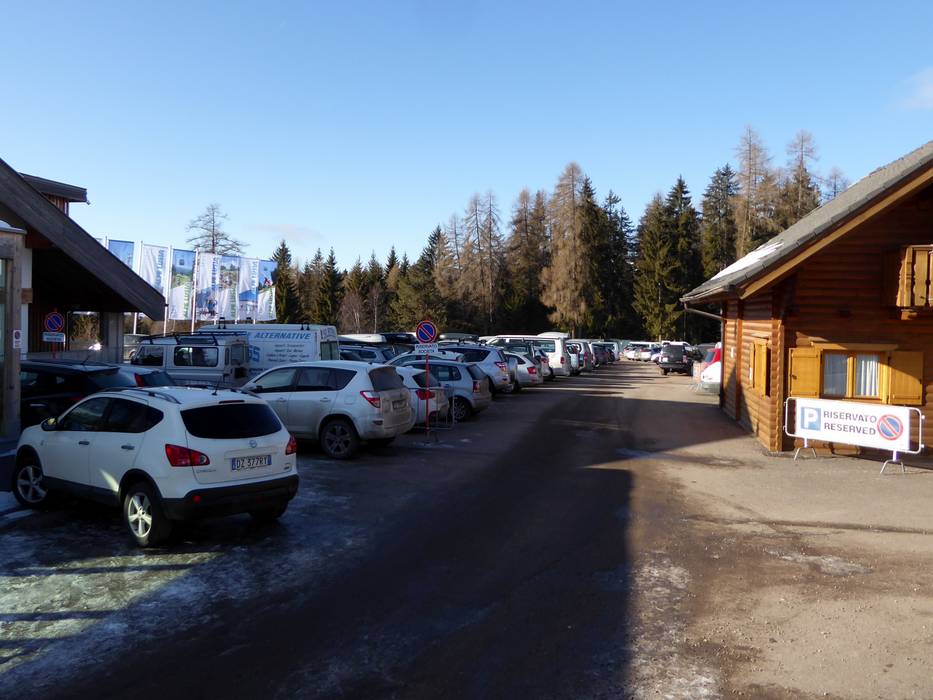
- usually enough available, tarmac car park, gravel car park
- free of charge
- Mountain road, well-developed, with significant incline
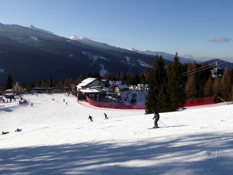
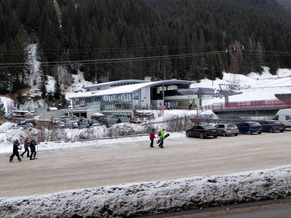
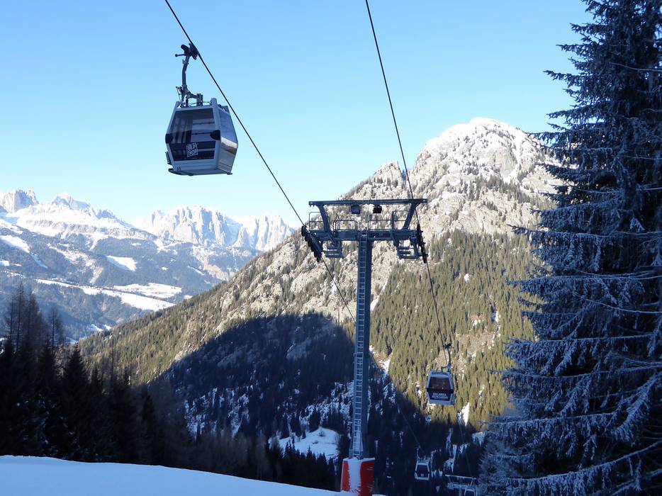
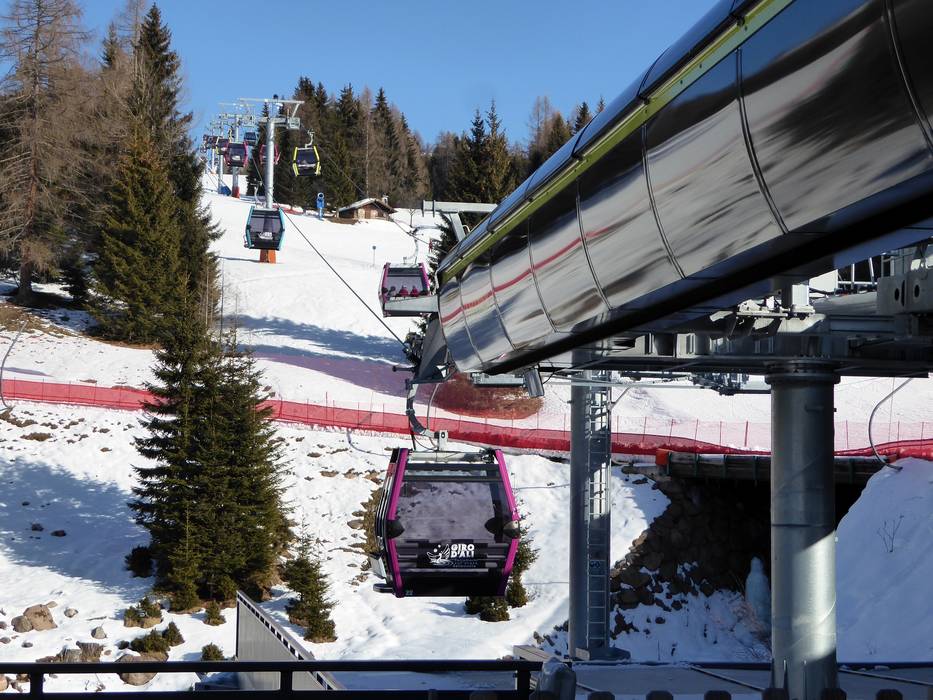
 Access to ski resort
  Town/village close to ski resort
  Traffic Junction
