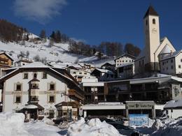
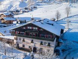
Wisła
5.0 km from the centre of the village to the ski resort
")
4.0 km from the centre of the village to the ski resort

centre of the village to the ski resort
")
centre of the village to the ski resort

centre of the village to the ski resort

centre of the village to the ski resort

centre of the village to the ski resort
")
centre of the village to the ski resort

centre of the village to the ski resort

centre of the village to the ski resort
")
centre of the village to the ski resort

Piste maps/trail maps around Wisła
Feedback for the Skiresort.info Team? Please use this form

Tips for the ski holiday